




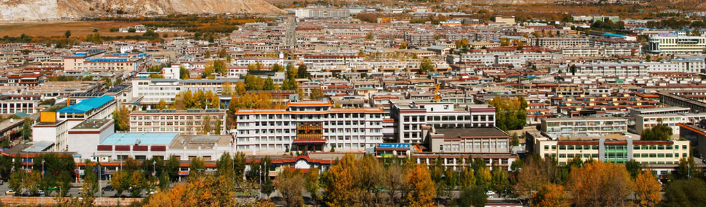
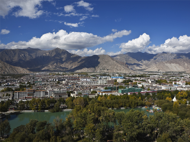
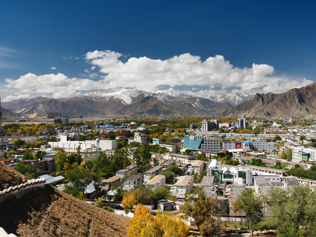
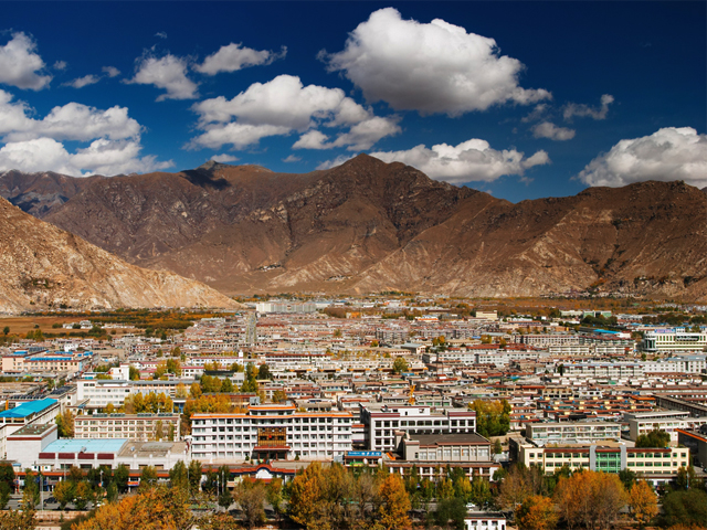
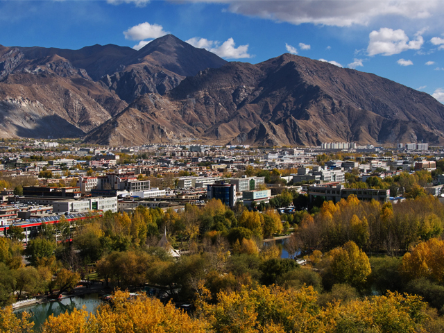
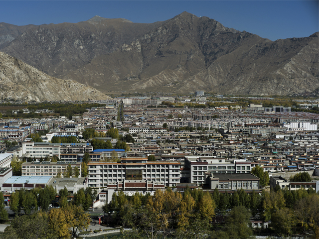
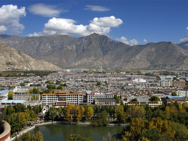
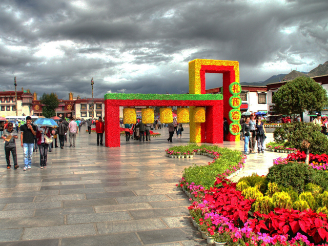
Lhasa is the capital of the Tibet Autonomous Region and the cultural centre of Tibetan Buddhism. At 3,490 m (11,450 ft) it is one of the highest cities in the world, and the second most populous on the Tibetan Plateau after Xining. The urban area roughly matches the Chengguan district, which lies inside the larger Lhasa prefecture-level city, and the whole place sits in a wide valley with barren hills on every side and an unusually bright, dry sky.
The city has served as the religious and administrative heart of Tibet since the mid-17th century, and its landmark sites reflect that history. The Potala Palace dominates the skyline from Marpo Ri. The Jokhang Temple, in the old quarter, is the spiritual centre for pilgrims. Norbulingka, to the west, was the summer residence of the Dalai Lamas. Sera and Drepung, two of the great Gelug monasteries, lie on the edges of the valley, with debating courtyards where monks clap and shout their way through philosophical arguments in the afternoon.
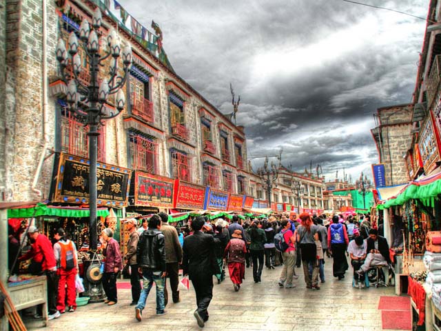
For travellers, Lhasa is an acclimatisation base as much as a destination. Plan at least two or three nights before heading higher, drink plenty of water, avoid alcohol and heavy exercise on arrival, and take it slowly on the hills and stairs. Spend the evenings in the Barkhor, the market circuit around the Jokhang, where pilgrims, traders and visitors move clockwise together. From Lhasa the main onward routes are the Friendship Highway toward Shigatse and Nepal, the road to Namtso, and the long drive to Mount Kailash.
Featured Adventure

Quick Answers about Lhasa
What is the elevation of Lhasa?
Lhasa is at an elevation of 3,490 m.
Where is Lhasa located?
Lhasa is in Asia, Tibet - China, at latitude 29.650000, longitude 91.116667.

