



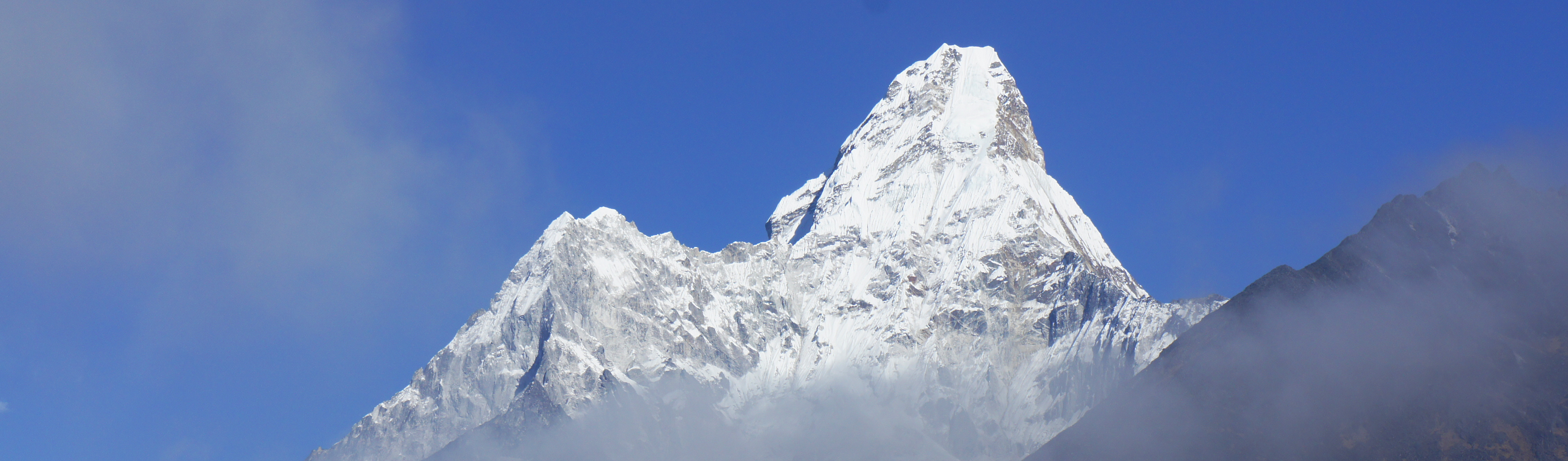
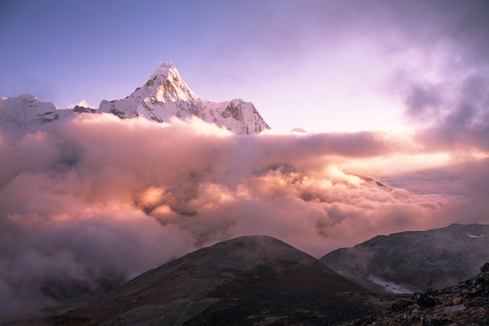
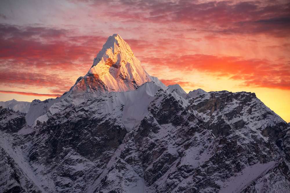
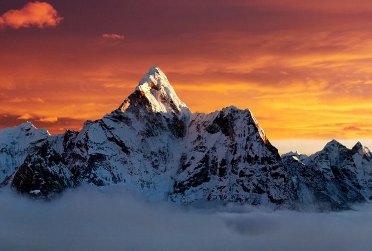
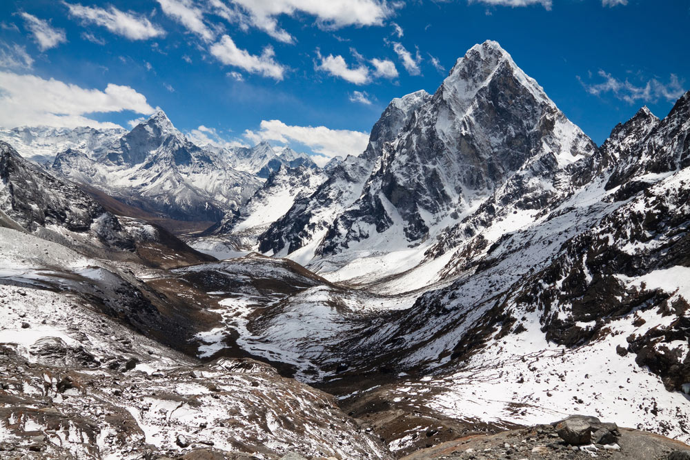
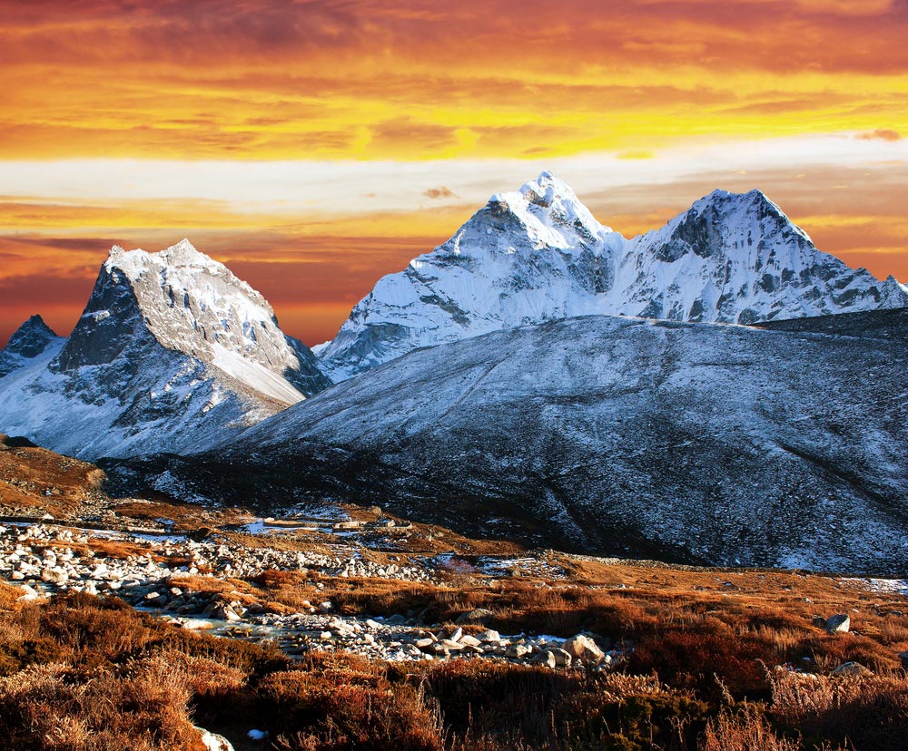
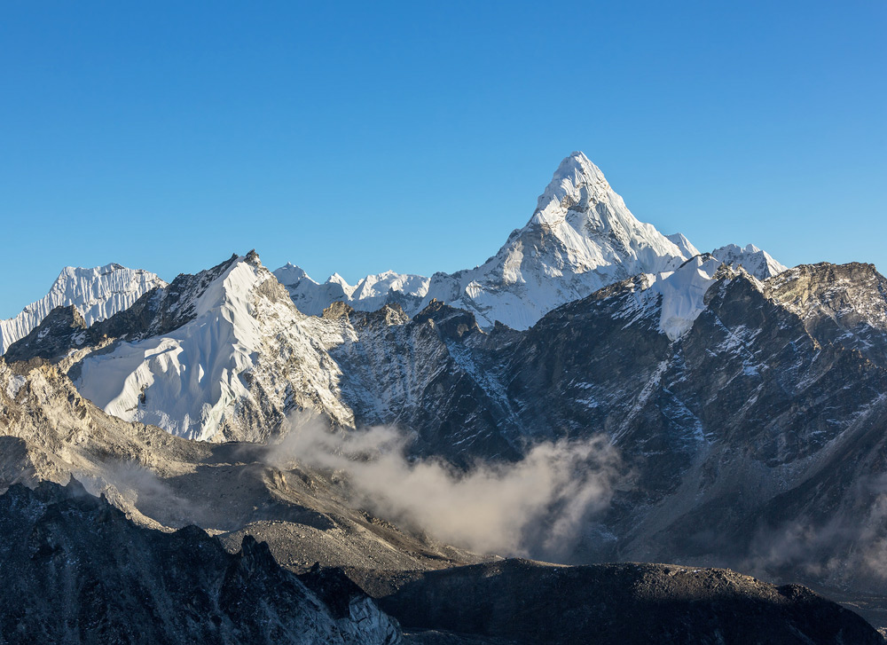
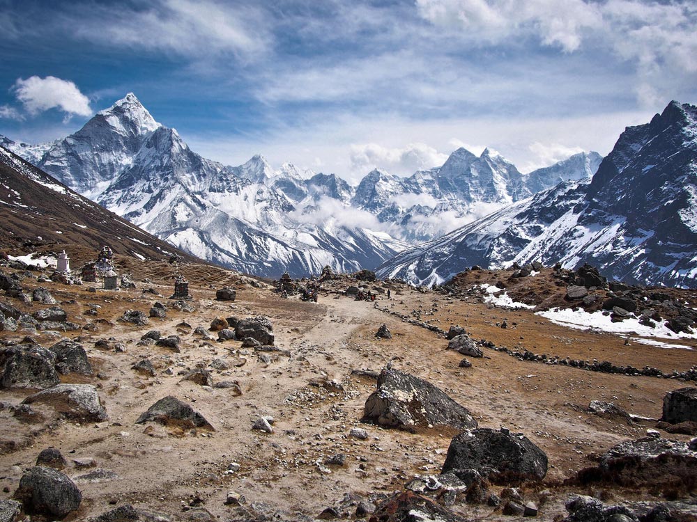
Ama Dablam, at 6,812 m (22,349 ft), is far from the highest Himalayan peak, but it is one of the most striking, and its elegant outline has earned it the nickname "the Matterhorn of the Himalaya". Anyone who has trekked to Everest Base Camp remembers it, since it dominates the eastern skyline between Tengboche and Dingboche. The name means "Mother's necklace" in Sherpa: the long ridges on either side are the mother's arms, and the hanging glacier, the dablam, is the traditional double-pendant worn by Sherpa women.
It is the third most popular expedition peak in Nepal. Most climbers take the south-west ridge and set up three camps on the way up. Mike Gill, Barry Bishop, Mike Ward and Wally Romanes made the first ascent in 1961. In 2006 a huge avalanche from the hanging glacier above Camp 3 killed six climbers (read the report). In 2008 another piece of this hanging glacier, the "dablam" itself, fell, and some teams now skip Camp 3 and go for the summit in a single long push from Camp 2.
Despite its modest height it is a hard climb, and expeditions normally allow 35 to 40 days. It is graded 5.7 on rock and WF4 on ice, which means serious climbing experience is a must. Even if you do not climb, the mountain gives the Everest trek its most photographed moment, and a day spent at Tengboche, with the peak reflected in the morning light, is hard to forget. Autumn offers the clearest skies; spring is the main climbing season.
Featured Adventure

Quick Answers about Ama Dablam
What is the elevation of Ama Dablam?
Ama Dablam is at an elevation of 6,812 m / 22,349 ft.
Where is Ama Dablam located?
Ama Dablam is located at latitude 27.861111, longitude 86.861111.

