




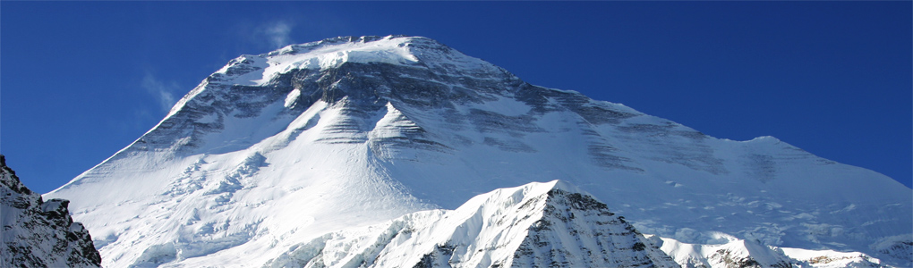
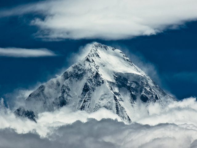
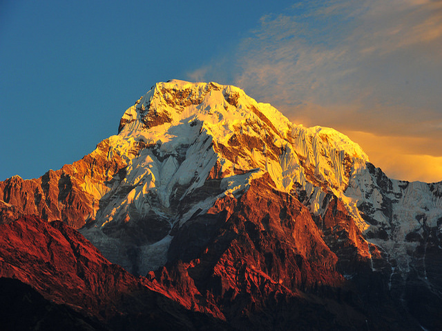
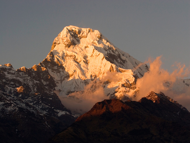
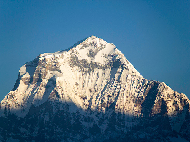
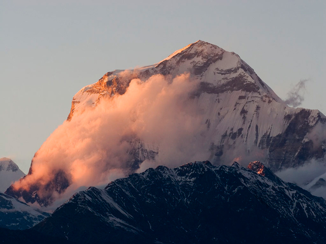
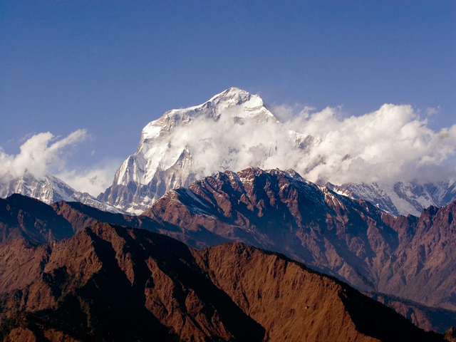
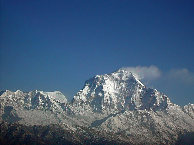
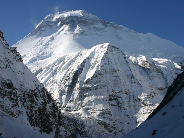
The Dhaulagiri massif in Nepal runs for 120 km from the Kali Gandaki River in the east to the Bheri in the west, enclosed on the north and south-west by tributaries of the Bheri and on the south-east by the Myagdi Khola. Dhaulagiri I, at 8,167 m (26,795 ft), is the seventh highest of the fourteen 8,000 m peaks. A Swiss, Austrian and Nepali expedition made the first ascent on 13 May 1960.
The name comes from Sanskrit: dhawala means dazzling, white and beautiful, and giri means mountain. Dhaulagiri I is the highest point of the Gandaki river basin, and its sudden rise from low ground is almost unmatched: it climbs 7,000 m from the Kali Gandaki River only 30 km to the south-east. Across the Kali Gandaki, which flows in the world's deepest gorge, stands Annapurna I, and the two mountains are separated by only 34 km. For a century and a half after its discovery by Western geographers it was thought to be the highest peak on Earth, until Kangchenjunga and then Everest were measured.
Trekkers can visit the base camp on the Dhaulagiri circuit, a demanding 18 to 21 day trek that crosses the French Pass (5,360 m) and the Dhampus Pass (5,244 m). A shorter option is the Dhaulagiri Base Camp trek from Beni. The Kali Gandaki trek to Jomsom and Muktinath offers views of the mountain's south face, and Poon Hill is a popular sunrise viewpoint. The best seasons are spring and autumn.
Image From Flickr: Bobulix , Neil Young , Didi , Satyam Joshi , Bruce , Donald Macauley
Featured Adventure

Quick Answers about Dhaulagiri
What is the elevation of Dhaulagiri?
Dhaulagiri is at an elevation of 8,167 m / 26,795 ft.
Where is Dhaulagiri located?
Dhaulagiri is located at latitude 28.698333, longitude 83.4875.

