




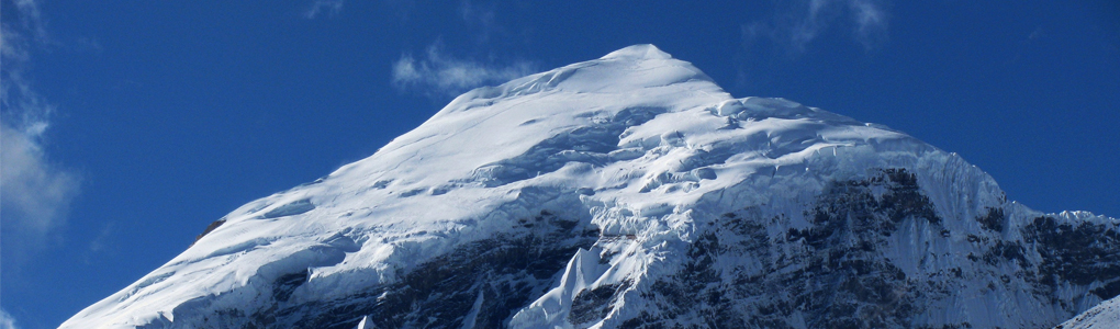
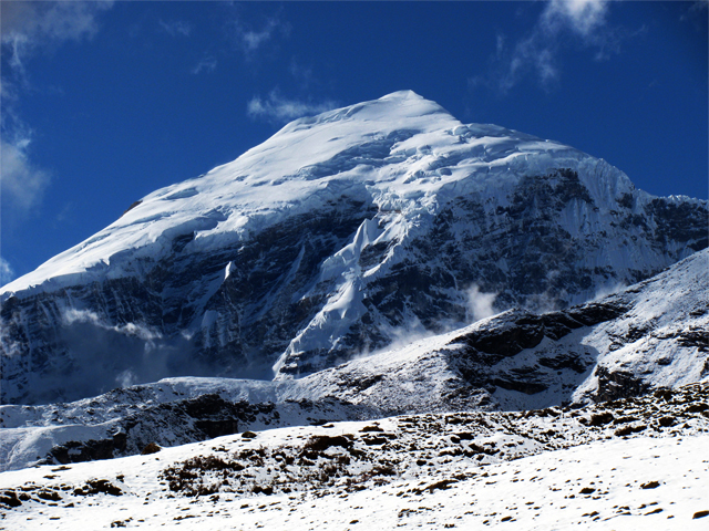
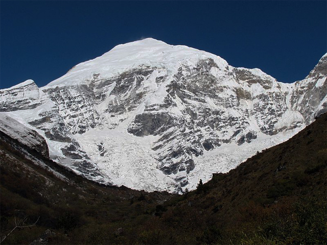
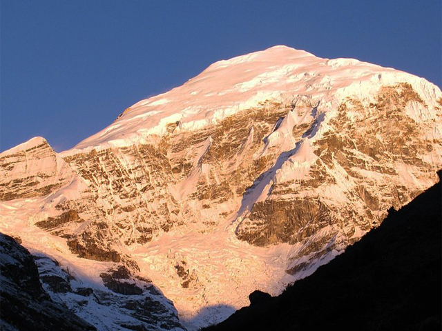
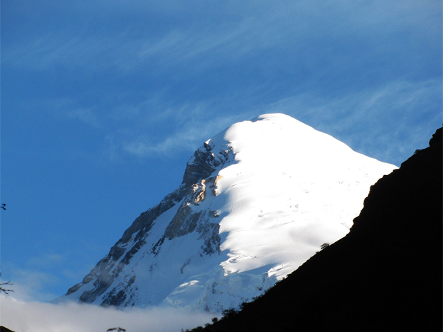
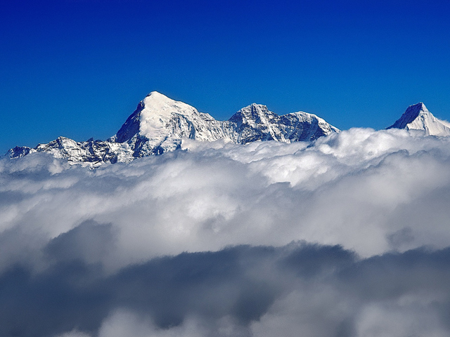
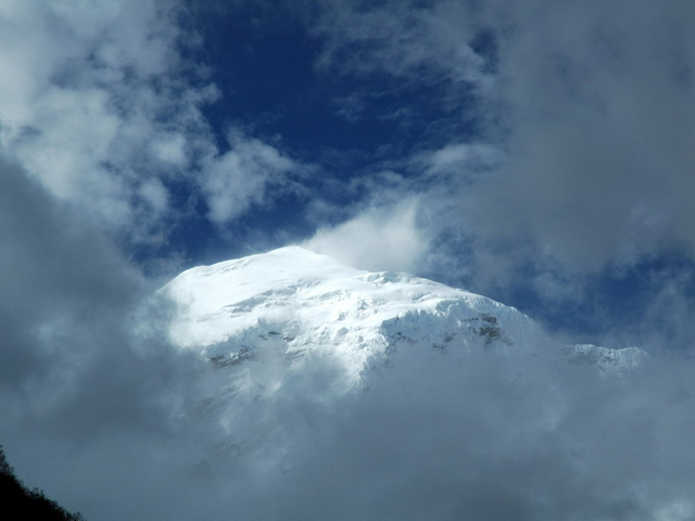
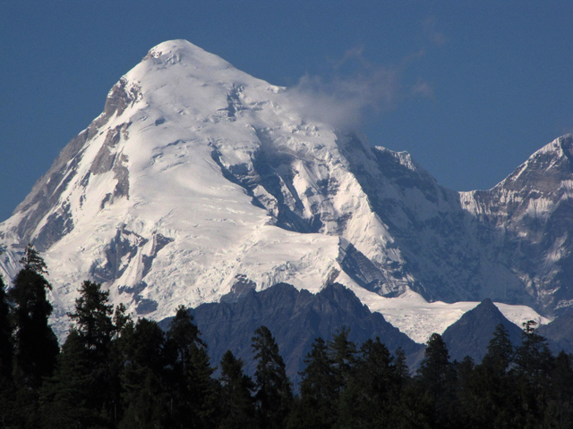
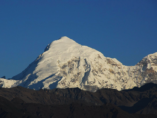
Jomolhari, also spelt Chomolhari and sometimes called "the bride of Kangchenjunga", is a Himalayan peak on the border between Yadong County in Tibet and the Thimphu district of Bhutan. It is a mountain of great religious importance in Bhutan, regarded as the seat of a mountain goddess, and its north face rises more than 2,700 m above the bare plains of Tibet, one of the great vertical walls of the eastern Himalaya.
Two rivers begin on its slopes: the Paro Chu runs south from it, and the Amo Chu flows away to the north. The Jomolhari Trek, one of Bhutan's best-known routes, follows the Paro Chu up to Jomolhari base camp, and the trail passes Drukgyel Dzong, the villages of the upper Paro valley and high yak pastures where herders spend the summer. On clear days, the peak is seen from the camp at Jangothang, and the view of the summit at dawn is an unforgettable sight.
Mountaineering on Jomolhari is not permitted from the Bhutanese side, in line with the country's ban on climbing peaks above 6,000 m. The trek takes about eight to ten days, reaching a high point at the Nyile La (4,890 m) on the extended route. The best seasons are spring (April to May) and autumn (late September to November), with clear skies and cold nights.
Image From Flickr: Christopher Fynn : Image 1 , Image 2, Image 3, Image 4, Michael Foley , Claude Florin , Andrea Williams, Jerome
Featured Adventure

Quick Answers about Jomolhari
What is the elevation of Jomolhari?
Jomolhari is at an elevation of 7,326 m / 24,035 ft.
Where is Jomolhari located?
Jomolhari is located at latitude 27.824167, longitude 89.270000.

