




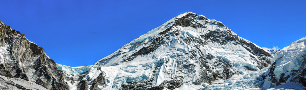
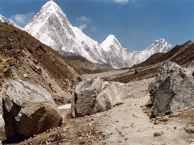
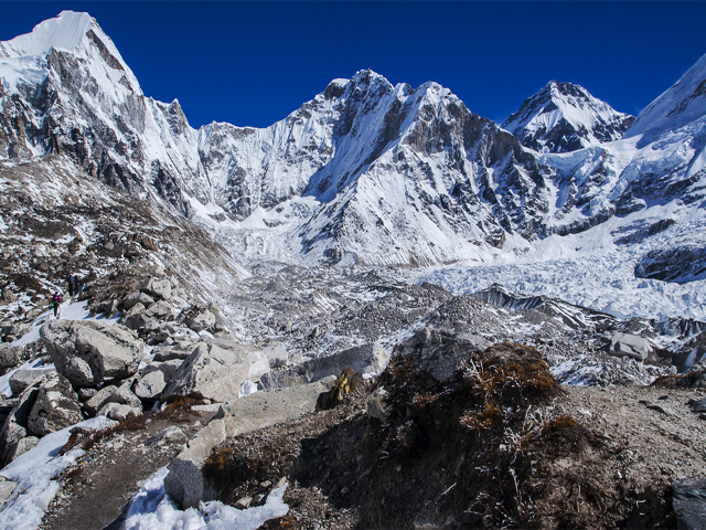
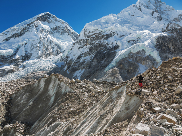
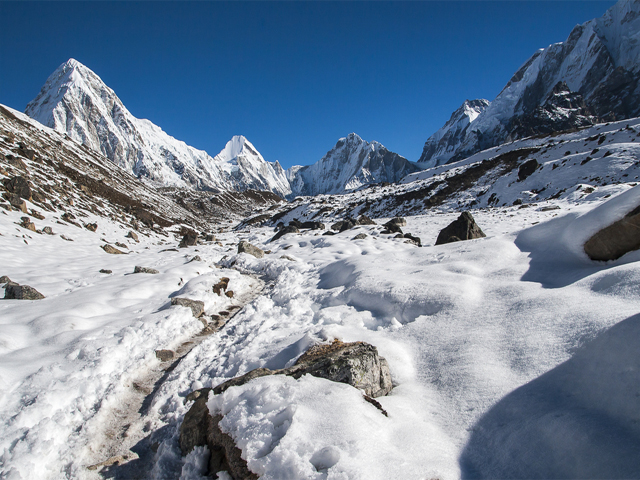
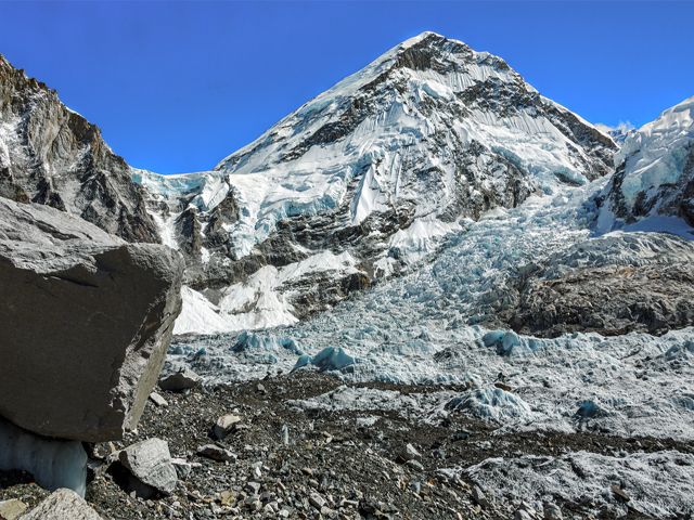
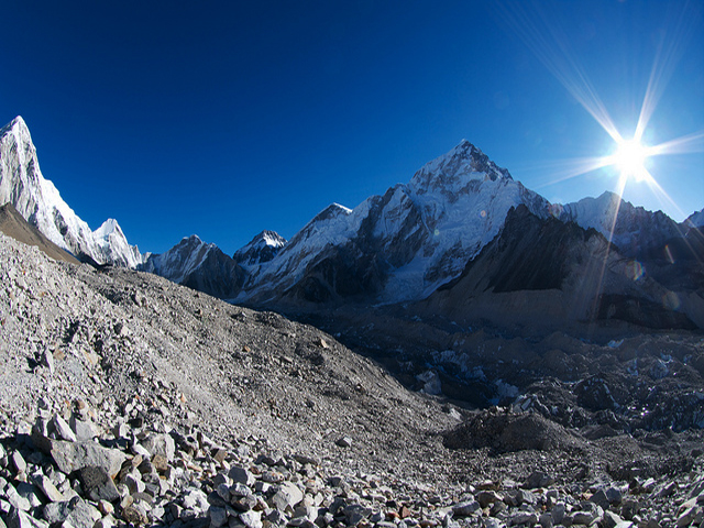
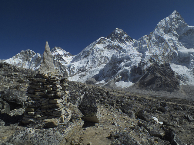
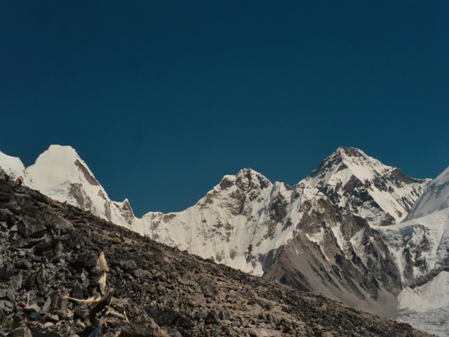
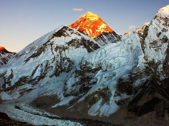
Khumbutse is the first mountain west of Mount Everest, just 6 km away, on the border between Nepal and China, at 6,665 m. It rises directly above the Khumbu Glacier near the Lho La pass, and from Gorak Shep and Kala Patthar it appears as a broad white shoulder beside Pumori. Because Everest and its neighbours steal the attention, Khumbutse is rarely named, but it is part of one of the most dramatic ridges in the Himalaya.
The mountain lies on the border ridge that includes Lingtren, Pumori and the Lho La, a high pass that connects the Khumbu valley with the Rongbuk valley in Tibet. In 1921, the first British reconnaissance of Everest looked at this ridge, and in the 1950s expeditions used the Lho La as an alternative approach. The peak is climbed only rarely.
Trekkers see it every day on the Everest Base Camp route, but few identify it. The best view is from the Khumbu Glacier near Lobuche and from Gorak Shep, where it forms a horizon wall to the west. A climb requires permits and a full expedition with technical skills. The best seasons are spring and autumn, and the weather is often windy and cold on the upper ridges.
Image From Flickr: Robert Nunn , Musa Sati , Oliphant
Featured Adventure
Quick Answers about Khumbutse
What is the elevation of Khumbutse?
Khumbutse is at an elevation of 6,665 m / 21,867 ft.
Where is Khumbutse located?
Khumbutse is located at latitude 28.020278, longitude 86.873056.

