




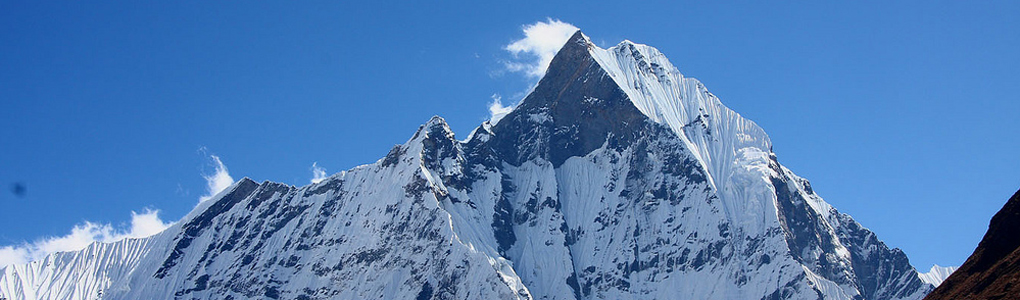
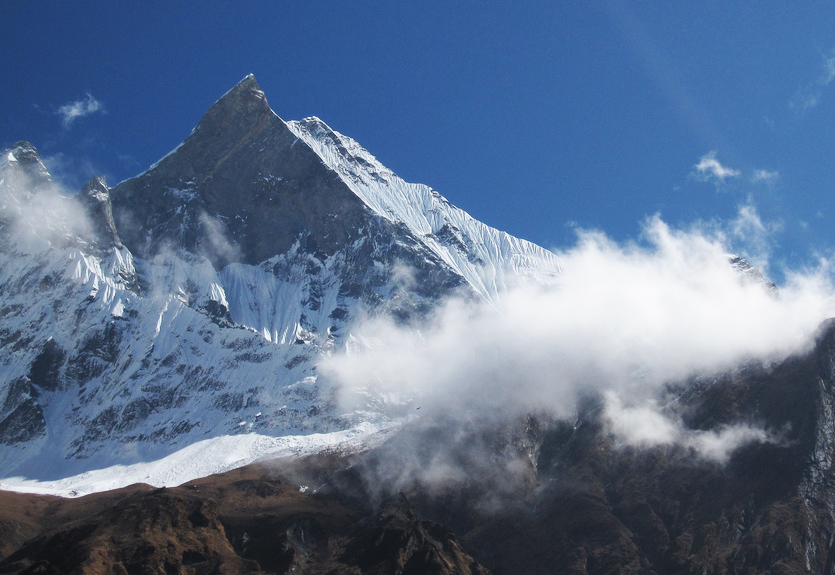
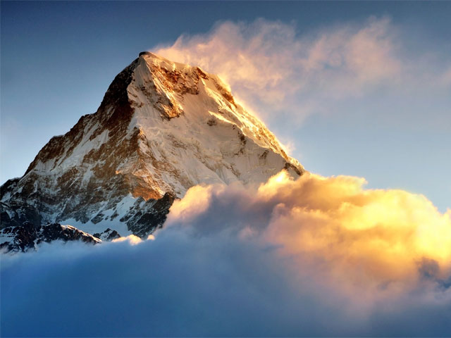
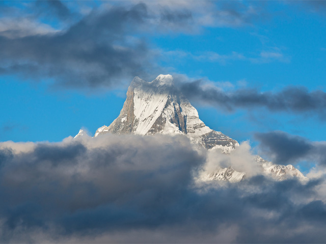
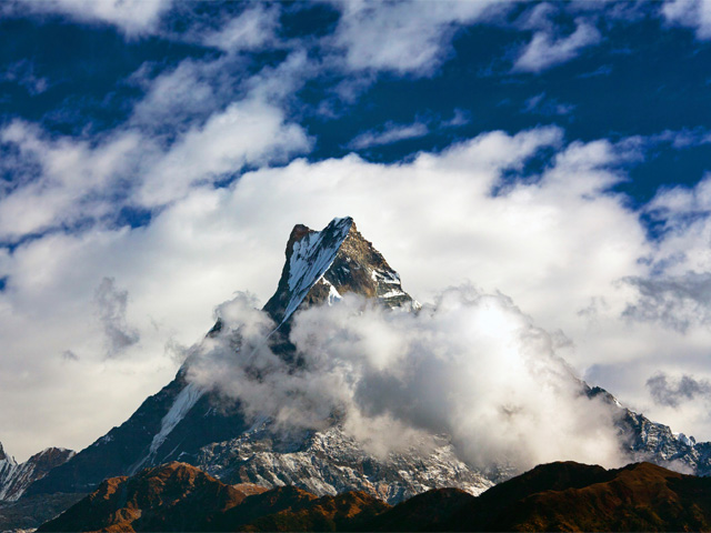
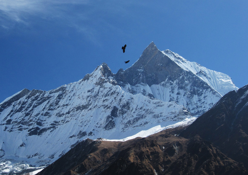
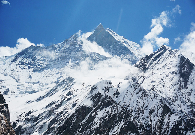
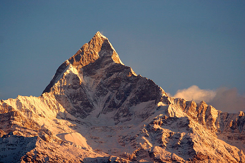
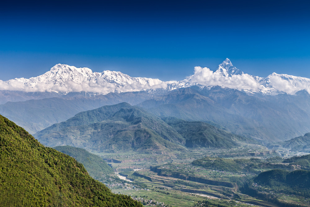
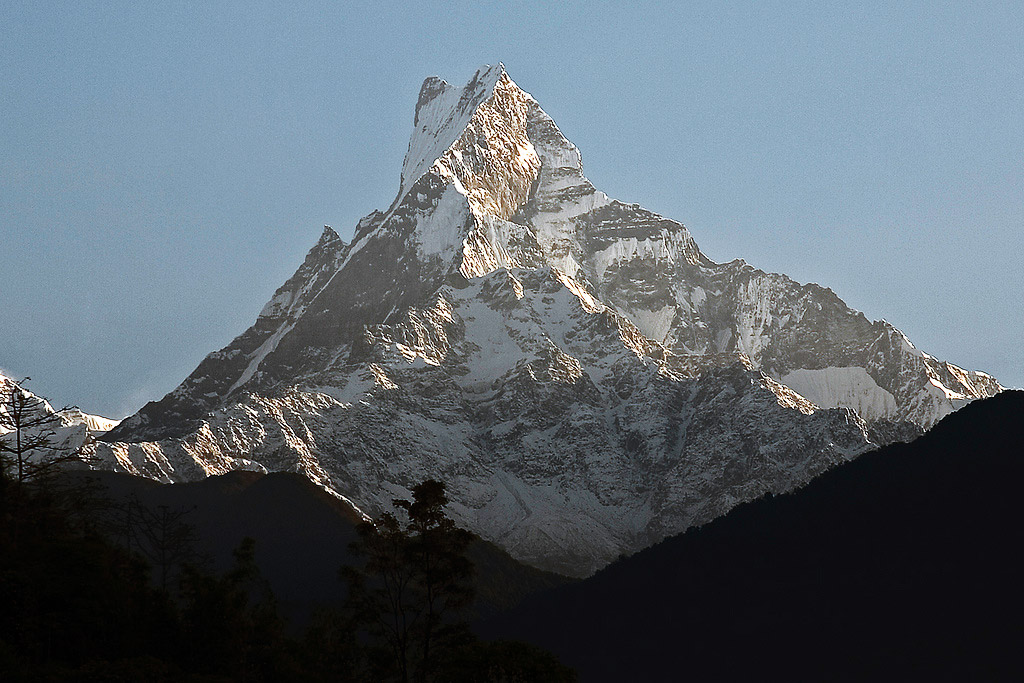
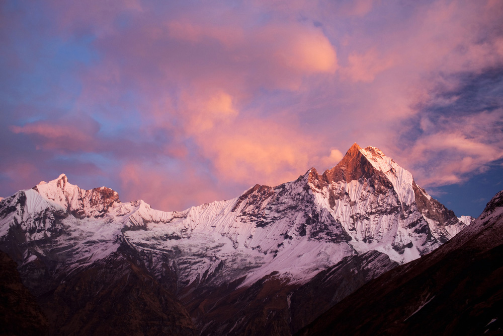
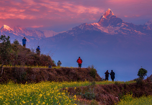
Machhapuchchhre, or Machhapuchhre, is called "Fish Tail" in English, after its split summit. It stands in the Annapurna Himal of north-central Nepal and is sacred to the god Shiva, which is why climbing it is forbidden. Its profile, seen from Pokhara across the lake, is among the best-loved views in Nepal: a sharp, symmetrical summit that seems to float above the green foothills.
It sits at the end of a long spur running south from the main Annapurna ridge, forming the eastern boundary of the Annapurna Sanctuary, a favourite trekking destination and the site of the base camps of Annapurna's south face and several smaller objectives. The peak is about 25 km north of Pokhara, the region's main town, and its summit reaches 6,993 m. In 1957, a British expedition led by Jimmy Roberts climbed to within 50 m of the top, then stopped out of respect for local religious feeling, and the mountain has remained officially closed to climbers since.
The Machhapuchchhre Base Camp (MBC) at about 3,700 m is a regular stop on the Annapurna Base Camp trek, and it is a spectacular place to spend a night, with the peak towering overhead. The trek to the sanctuary takes about a week from Pokhara. Autumn gives the clearest weather, and spring brings blooming rhododendron on the lower slopes.
Image From Flickr: Andrew Smith, Esmar Abdul Hamid, Jean-Marie Hullot, Gonzalo Saenz de santa maria poullet, William Nicholas Henirk
Featured Adventure

Quick Answers about Machhapuchchhre
What is the elevation of Machhapuchchhre?
Machhapuchchhre is at an elevation of 6,993 m / 22,943 ft.
Where is Machhapuchchhre located?
Machhapuchchhre is located at latitude 28.495000, longitude 83.949167.

