




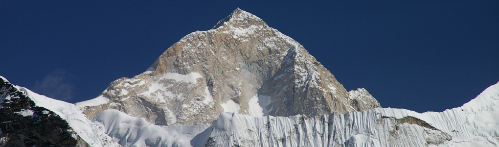
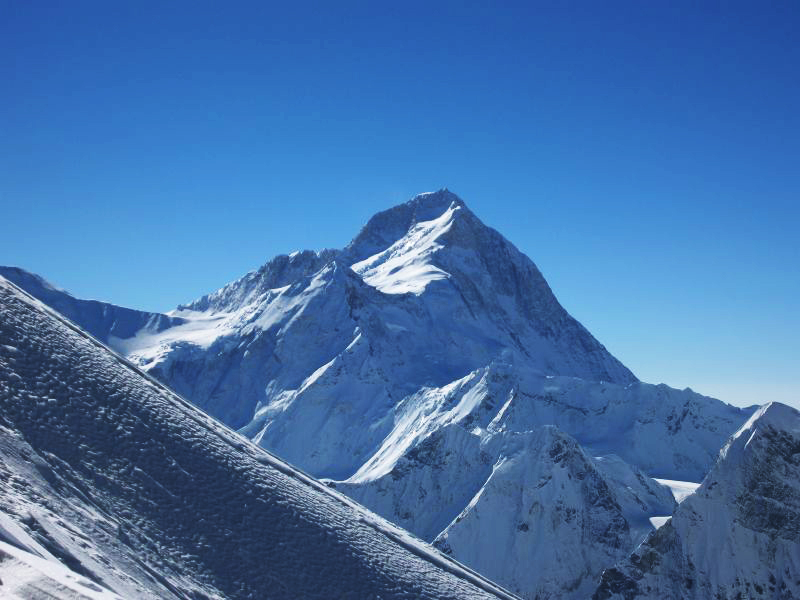
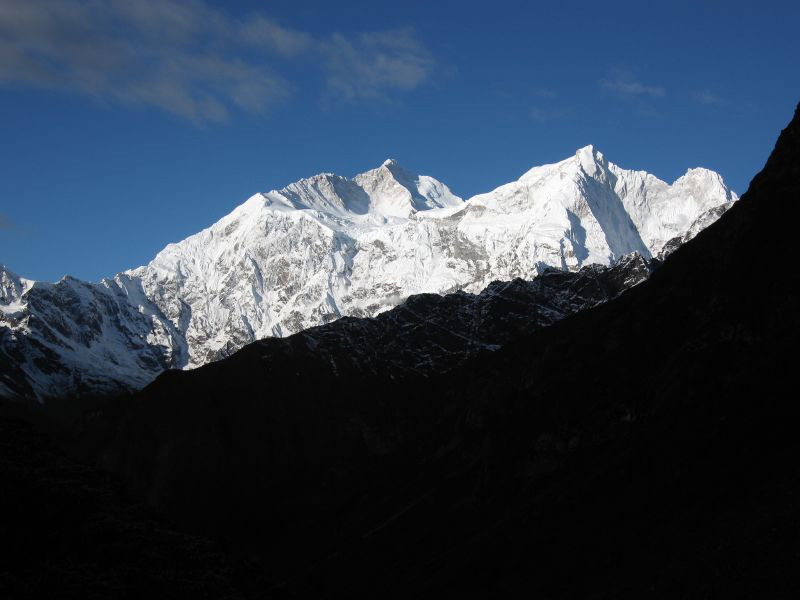
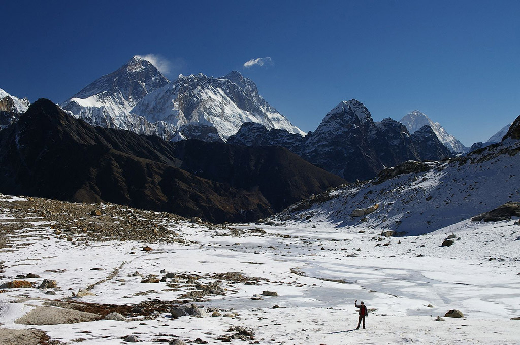
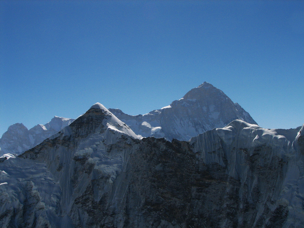
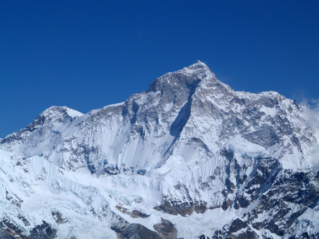
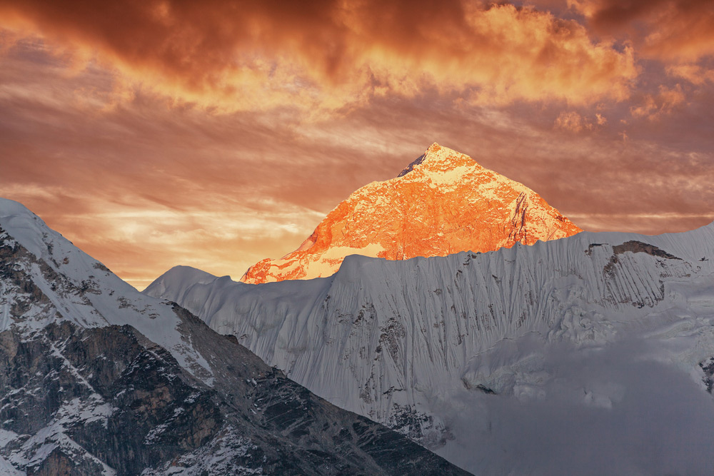
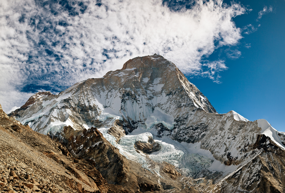
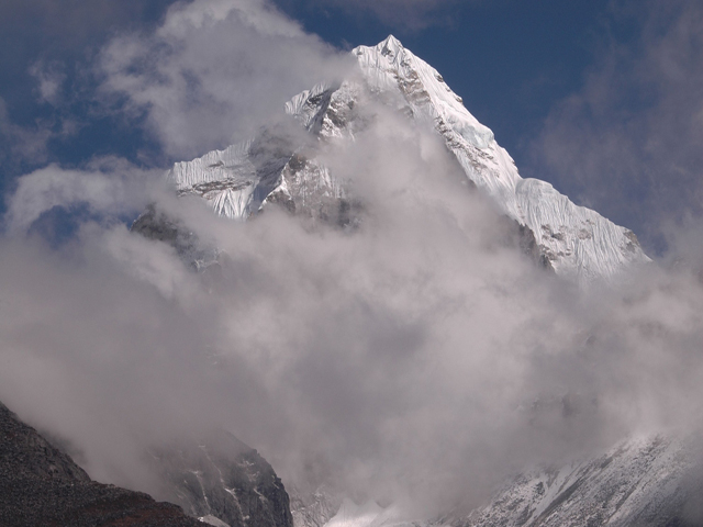
At 8,485 m (27,838 ft), Makalu is the fifth highest mountain on Earth. It stands in the Mahalangur Himalaya on the Nepal-China border, about 19 km south-east of Everest, and it is an isolated four-sided pyramid whose shape makes it instantly recognisable. Its name probably comes from the Sanskrit Maha Kala, "the Great Black", an epithet of Shiva.
It has two notable satellites: Kangchungtse (Makalu II, 7,678 m), about 3 km north-north-west of the main summit, and Chomo Lonzo (7,804 m), roughly 5 km north-north-east across a broad plateau and joined to Kangchungtse by a narrow saddle at about 7,200 m. A French expedition led by Jean Franco made the first ascent in 1955, when Lionel Terray and Jean Couzy reached the summit on 15 May by the north-west face and north ridge, and the whole team succeeded within three days.
Makalu is considered one of the hardest of the 8,000 m peaks because of its steep ridges and exposed summit pyramid. For trekkers, the Makalu Base Camp trek, about 18 days from Tumlingtar, is a remote and rewarding route through the Makalu Barun National Park, with a wide range of altitude and vegetation. The base camp, strewn out on the Barun glacier, offers one of the most spectacular views in Nepal. The best seasons are spring and autumn.
Image From Flickr: Steynard, Ben Tubby, McKay Savage, Craig Taylor, Ben Tubby
Featured Adventure

Quick Answers about Makalu
What is the elevation of Makalu?
Makalu is at an elevation of 8,485 m / 27,838 ft.
Where is Makalu located?
Makalu is located at latitude 27.889167, longitude 87.088611.

