




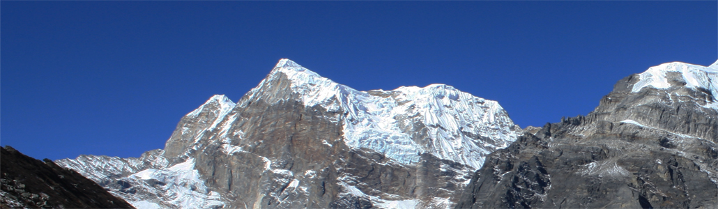
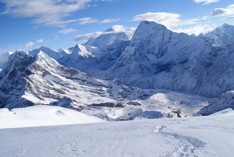
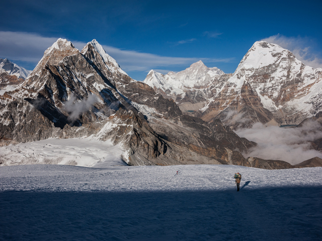
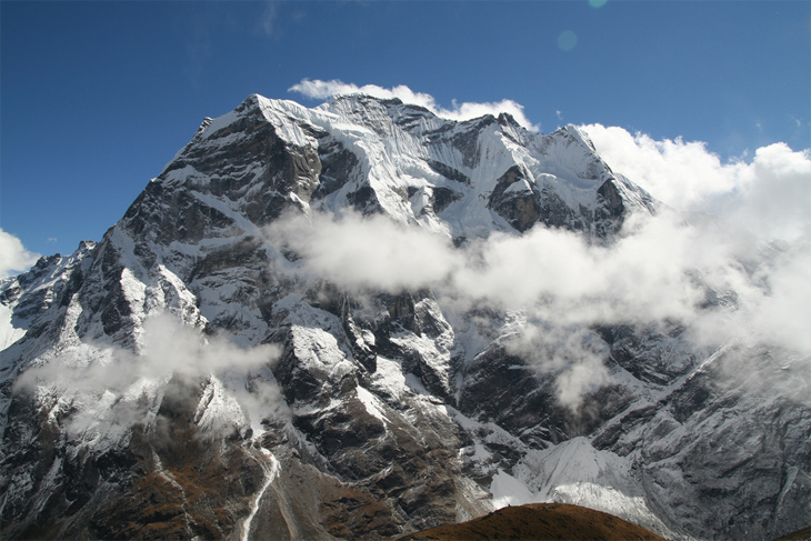
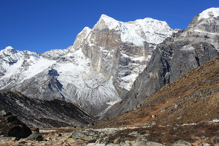
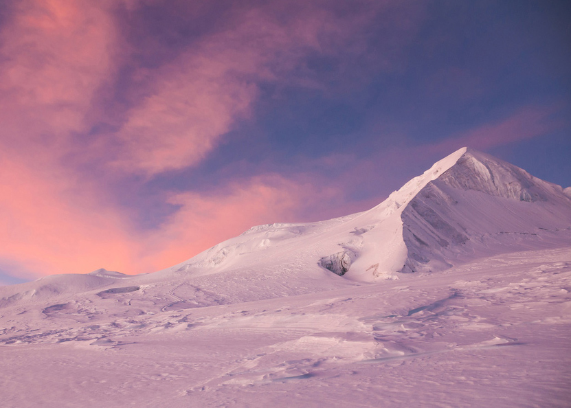
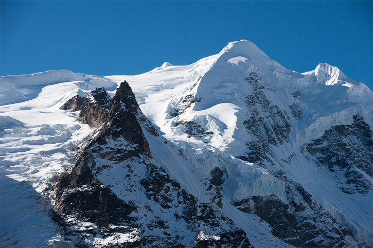
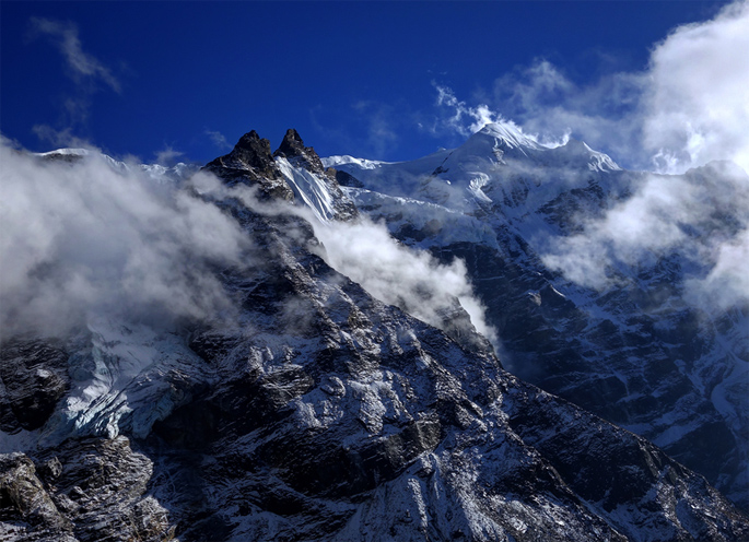
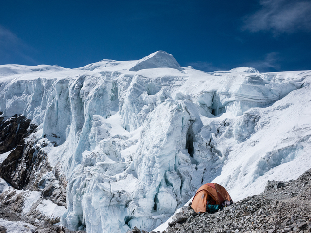
Mera Peak is a mountain in the Barun subsection of the Mahalangur Himalaya, in Nepal's Solukhumbu district. At 6,476 m (21,247 ft) it is classed as a trekking peak, and it is often called the highest trekking peak in Nepal. It has three main summits: Mera North (6,476 m), Mera Central (6,461 m) and Mera South (6,065 m), plus a smaller "trekking summit" that is visible from the south but not marked on most maps.
The summit view is one of the best in the Himalaya, with five 8,000 m peaks in sight: Everest, Lhotse, Cho Oyu, Makalu and Kangchenjunga. The standard route from the north involves glacier walking at high altitude, with a gentle slope and few technical difficulties, but the altitude, cold and crevasses make it a serious undertaking. The first ascent was made in 1953 by Jimmy Roberts and Sen Tenzing, and the mountain has since become a favourite objective for people who want to climb a Himalayan peak without technical experience.
The trek starts at Lukla, crosses the Zatrwa La pass and follows the Hinku valley to Khare, the base for the climb, a journey of about seven to ten days. Most itineraries allow 15 to 18 days in total, including acclimatisation and a buffer for weather. The Hinku valley is quieter than the Everest trail, with rhododendron forests and remote villages. The best seasons are spring and autumn, when skies are clear and winds are manageable.
Image From Flickr: Andy Harbach, Joachim Meyer
Featured Adventure

Quick Answers about Mera Peak
What is the elevation of Mera Peak?
Mera Peak is at an elevation of 6,476 m / 21,247 ft.
Where is Mera Peak located?
Mera Peak is located at latitude 27.709167, longitude 86.868333.

