




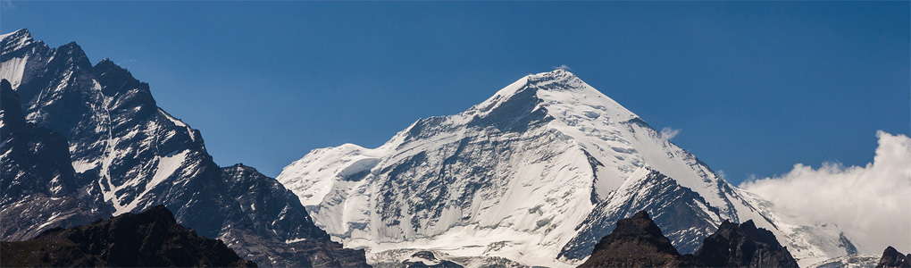
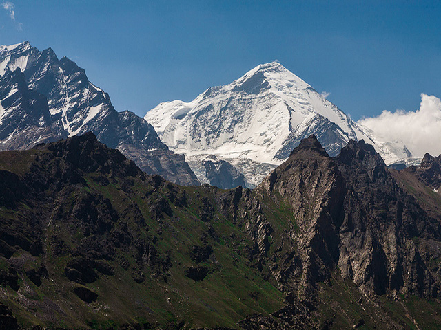
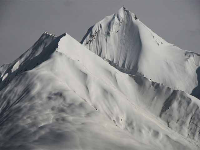
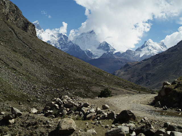
The Nun Kun massif is made up of two Himalayan peaks: Nun (7,135 m) and its neighbour Kun (7,077 m). Nun is the highest peak in the part of the Himalaya on the Indian side of the Line of Control in Jammu and Kashmir (the Indian Karakoram has higher ones). The massif stands near the Suru valley, about 250 km east of Srinagar, the state capital. Kun lies north of Nun, separated by a snowy plateau about 4 km long, and Pinnacle Peak (6,930 m) is the third highest summit of the group.
The two main peaks are often climbed together in a single expedition, and the massif is one of the most accessible 7,000 m mountains in India, since the road from Kargil to Padum passes along its base. Kun was first climbed in 1913 by the Italian Mario Piacenza, and Nun followed in 1953 in a French expedition. Climbing is possible in the summer months from July to September, when the Zanskar road is open.
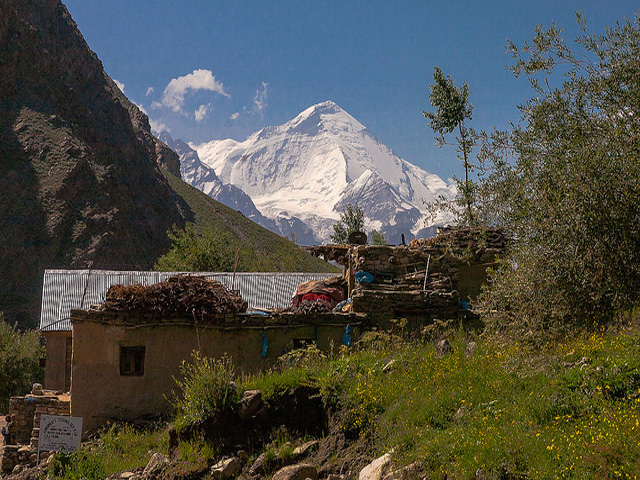
The area is a pilgrimage and trekking destination, as well as a mountaineering one. The Parkachik glacier flows from the massif toward the Suru valley, and the view from the road near Panikhar, with Nun and Kun rising behind a Buddhist and Muslim village, is one of the great sights of the Kargil-Zanskar road. Permits and security clearance are required for climbing, so plan with a licensed operator.
Image From Flickr: sandeepachetan , kanglapass , Motohiro Sunouchi
Featured Adventure

Quick Answers about Nun Kun
What is the elevation of Nun Kun?
Nun Kun is at an elevation of 7,135 m / 23,409 ft.
Where is Nun Kun located?
Nun Kun is located at latitude 33.980000, longitude 76.021667.

