




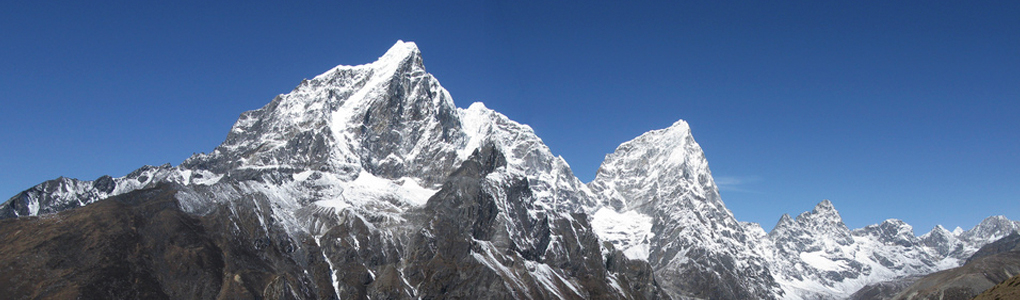
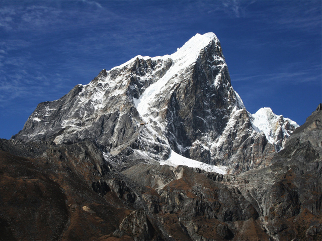
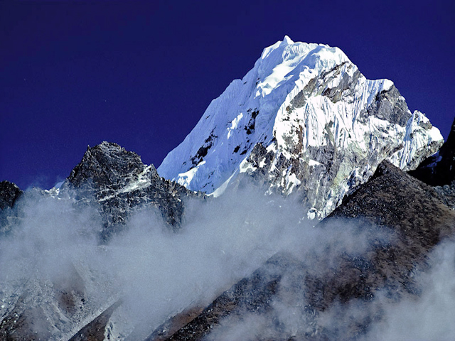
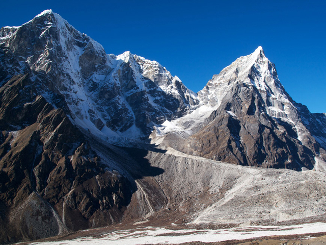
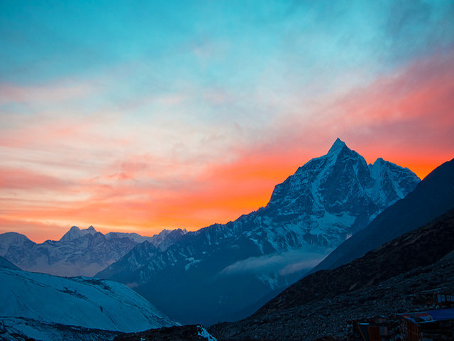
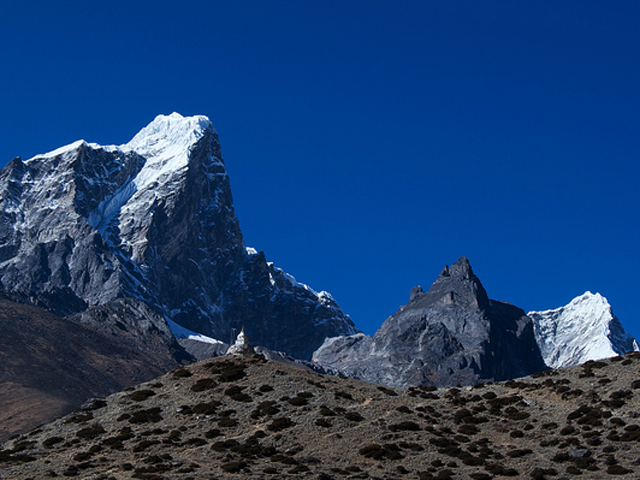
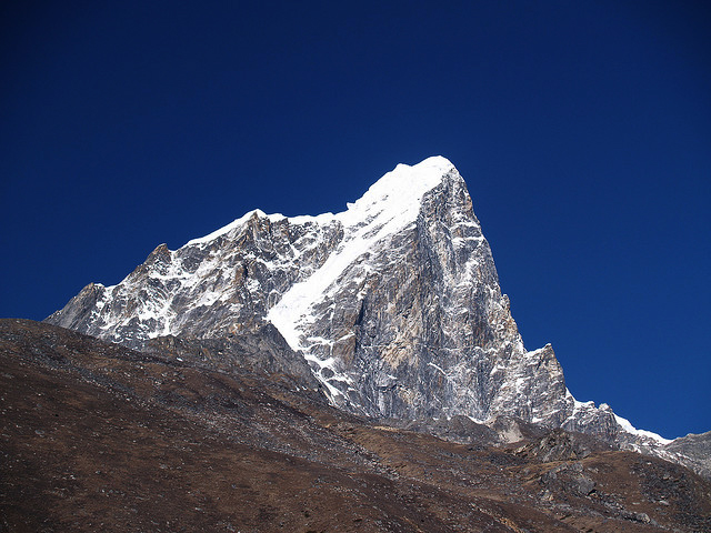
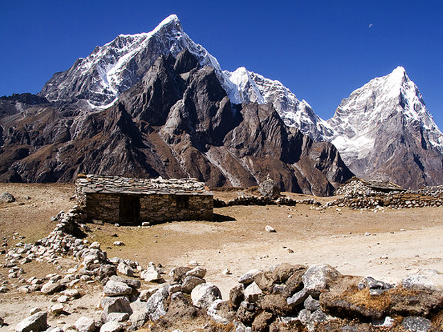
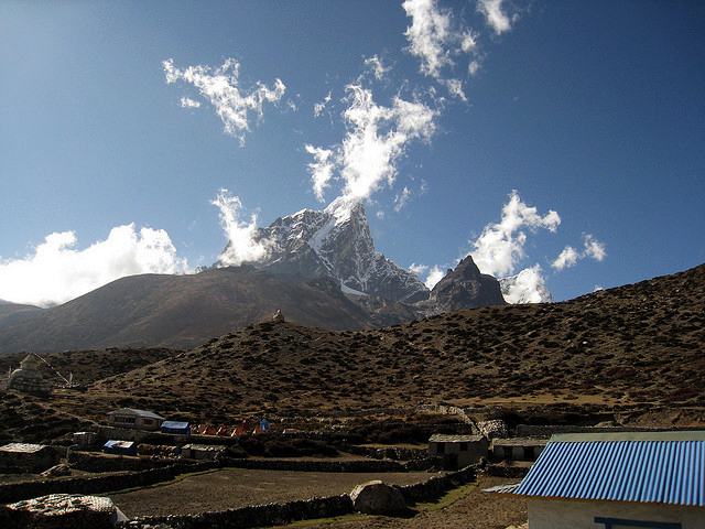
Taboche is a Khumbu peak of the Nepalese Himalaya, joined to Cholatse by a long ridge. It stands directly across the Imja River from Ama Dablam and above the villages of Pheriche and Dingboche, so trekkers on the Everest Base Camp trail see it for several days. Its sharp summit, at 6,501 m, is a clean shape of snow and rock, and the long ridge to Cholatse makes a dramatic skyline.
A French expedition led by Yannick Seigneur and the clarinettist and composer Jean-Christian Michel made the first ascent in 1974, with Louis Dubost, Paul Gendre and Jacques Brugirard in the summit team. In February 1989 Jeff Lowe and John Roskelley climbed the direct north-east face of Taboche (Tawoche) in winter, alpine style, in a ten-day push, reaching the summit on 13 February by the deep vertical cleft running up the middle of the face.
The mountain is not a trekking peak and sees few climbers, although it is a technical objective of high quality. Trekkers can get close views from Dingboche or the trail to Chhukhung, and from the Cho La pass on the Three Passes route. The best months for clear views are October and November.
Image From Flickr: James C Farmer, Remi Bridot, Robert Nunn, Hendrik Terbeck, Robert Nunn, Steve Hicks, Oscar Ramos, Ben Tubby, Ryland Aldrich, Rex Tsai
Featured Adventure

Quick Answers about Taboche
What is the elevation of Taboche?
Taboche is at an elevation of 6,501 m / 21,329 ft.
Where is Taboche located?
Taboche is located at latitude 27.896667, longitude 86.7775.
What is Taboche also known as?
Taboche is also known as Tawoche / Tawetse.

