




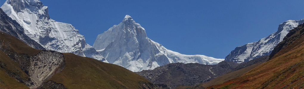
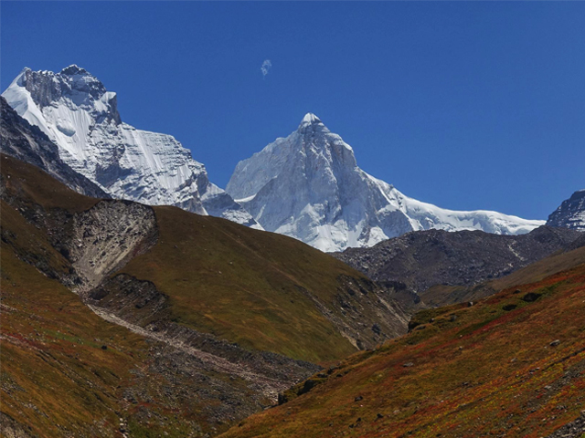
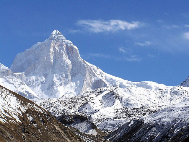
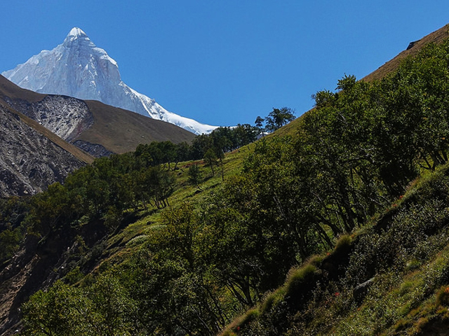
Thalay Sagar is a peak of the Gangotri group in the western Garhwal Himalaya, on the main ridge south of the Gangotri Glacier in Uttarakhand, 10 km south-west of Gaumukh, the holy site where the Bhagirathi River begins. At 6,904 m, it is the second highest summit on the south side of the Gangotri Glacier after Kedarnath, but it is better known as a dramatic rock mountain, steep on every side, and a celebrated prize for climbers.
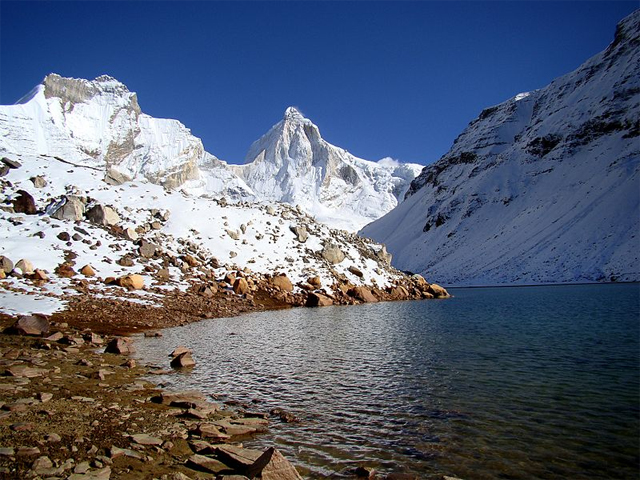
It is next to the Jogin group of peaks and has the lake Kedartal at its base. It was first climbed in 1979. The north-west face, a steep sweep of granite and ice, has been the object of several hard alpine-style climbs, and the mountain has a reputation as one of the finest in Garhwal.
The trek to Kedartal starts from Gangotri and takes two to three days, with a steep climb above the Bhagirathi river. The lake lies at 4,425 m and is one of the most beautiful in Garhwal, with the peak reflected on its calm surface. Permits for Gangotri National Park are required. The best seasons are May to June and September to October.
Image From Flickr : Steynard , Soumit Ban , Kailas98 , Steynard
Featured Adventure

Quick Answers about Thalay Sagar
What is the elevation of Thalay Sagar?
Thalay Sagar is at an elevation of 6,904 m / 22,651 ft.
Where is Thalay Sagar located?
Thalay Sagar is located at latitude 30.858056, longitude 78.997222.

