




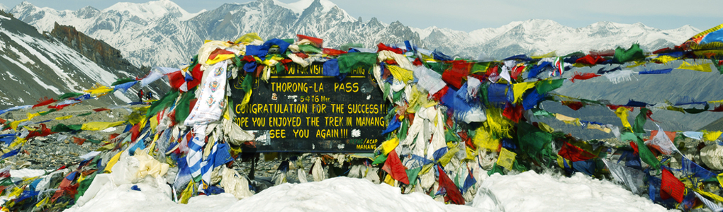
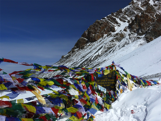
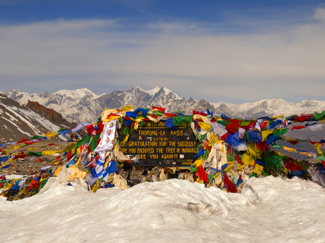
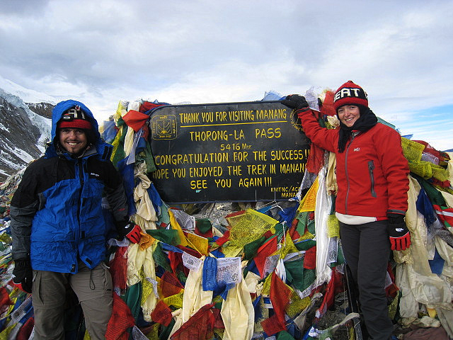
Thorong La, also written Thorung La, is a mountain pass at 5,416 m (17,769 ft) in the Damodar Himal, north of the Annapurna Himal in central Nepal. It is among the highest trekking passes in the world. The trail through it joins Manang, in the Manang district to the east, with the temple of Muktinath and the nearby village of Ranipauwa, in the Mustang district to the west.
It is the high point of the Annapurna Circuit, a route of about 300 km around the Annapurna range, and local traders use the pass as well as trekkers. Crossing it is the hardest day of the trek: most groups sleep at Thorong Phedi (4,450 m) or the High Camp (4,925 m), leave before dawn and take about four to five hours to reach the top. The air is thin, the wind is strong and the temperature can be well below freezing, even in the main seasons, so warm clothing is essential.
Altitude sickness is a real danger here, since the ascent from Manang is rapid, and trekkers should follow the standard advice: acclimatise at Manang for a day or two, drink plenty of fluids, climb slowly and descend if symptoms worsen. The descent to Muktinath is long and steep, dropping over 1,600 m, but the reward is the sacred shrine and the Kali Gandaki valley beyond. The best seasons are October to November and March to April, and heavy snow can close the pass at any time.
Image From Flickr : roundtheworld_trip
Featured Adventure

Quick Answers about Thorong La
What is the elevation of Thorong La?
Thorong La is at an elevation of 5,416 m / 17,769 ft.
Where is Thorong La located?
Thorong La is located at latitude 28.793611, longitude 83.937222.

