




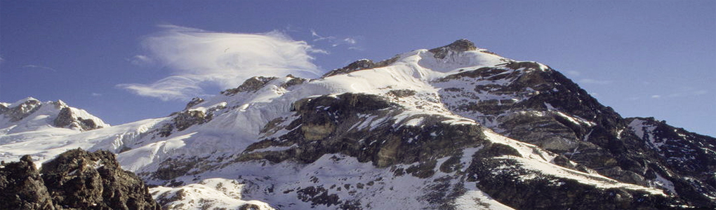
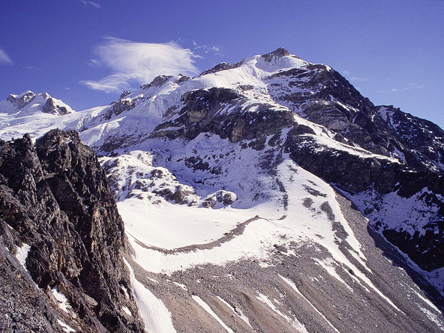
Yala Peak is a mountain in the Langtang area of Nepal, rising to 5,520 m above the Kyanjin Gompa valley. The Nepal Mountaineering Association lists it as a trekking peak, and the climb is relatively simple and non-technical, which makes it a favourite first peak for people who want to try Himalayan mountaineering. The summit is famous as a viewpoint for Shishapangma (8,013 m), the highest mountain wholly in Tibet and the lowest of the 14 eight-thousanders.
The standard route starts from Kyanjin Gompa, climbs to a base camp well above 4,000 m, and then follows a snow slope to the top. It takes one long day, with a start in the early hours, and involves a short section of steeper snow near the summit. Most climbers use a rope, ice axe and crampons, and a local guide is strongly advised. From the summit, the views include Langtang Lirung, Dorje Lakpa and the Tibetan plateau.
The Langtang trek to Kyanjin Gompa takes about four to five days from Syabrubesi, and the climb can be added in two extra days. The area suffered badly in the 2015 earthquake, and the villages have been rebuilt, so choosing local lodges helps the recovery. The best seasons are spring and autumn, with stable weather and clear mornings.
Featured Adventure

Quick Answers about Yala Peak
What is the elevation of Yala Peak?
Yala Peak is at an elevation of 5,520 m / 18,110 ft.
Where is Yala Peak located?
Yala Peak is located at latitude 28.228600, longitude 85.628000.

