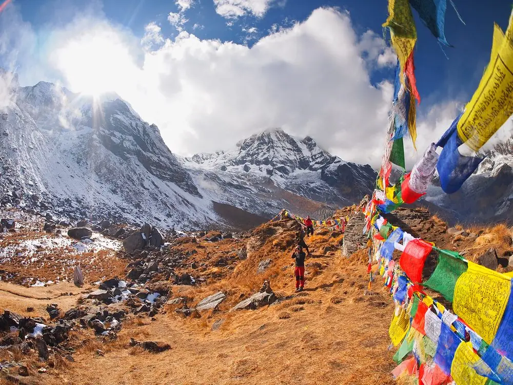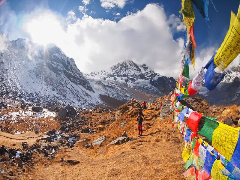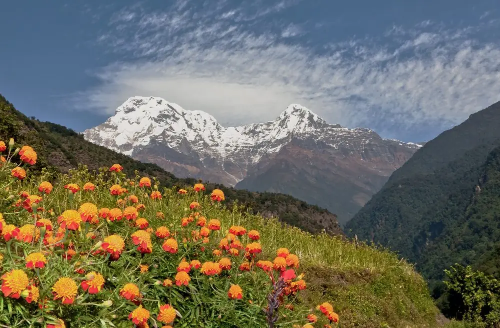
Ice Lake, called Kicho Tal in the local language, is a high glacial lake in a rocky bowl above the villages of Braga and Bhraka, in the Manang valley. It is the most popular day hike on the Annapurna Circuit, and also one of the most misjudged: it looks like a casual rest-day walk on a map, but it is a steep, sustained climb that ends higher than any point on the Annapurna Base Camp trek.
Key facts
Figures are approximate, and small differences between maps and your own watch are normal.
- Altitude: about 4,600 to 4,620 m, depending on the source.
- Start: Manang at about 3,540 m, or Bhraka at about 3,475 m, which is the more direct starting point.
- Climbing: roughly 1,100 m up in a single morning.
- Round trip: commonly 7 to 9 hours, around 16 to 18 km if you start from Manang.
- Season: March to May and September to November; October and November are the clearest.
- Permits: nothing beyond the ACAP entry permit and TIMS you already hold for the Circuit.
There are two lakes
Most walkers reach the lower lake first. The main upper lake lies a further 15 to 20 minutes on, in a bigger bowl under the Chulu peaks. Both are cold, wind-scoured and often partly frozen outside the warmest weeks. The water is a deep blue-grey rather than a postcard turquoise, and the main reward is the scale of the surroundings.
What you see
- Annapurna III (7,555 m) and Gangapurna (7,455 m) across the valley.
- Tilicho Peak (7,134 m) to the west, and the Chulu range above the lake.
- A top-down view of Manang, Braga and the Marsyangdi valley.
- On the way up, Braga Monastery and the stone village below you.
Why it is harder than it looks
Many trekkers do the climb on their Manang rest day. That works only if you are already adapting well. Gaining 1,000 m and returning on the same day is a real physiological demand, the trail is dusty and steep, and afternoon wind and cloud arrive early. If you have a headache, poor sleep or low appetite, a gentle walk to Gangapurna Lake is a better rest-day choice.
Who it suits
- Trekkers who have slept at Manang for at least one night and feel well.
- People comfortable with a long, sustained uphill and an equally long knee-testing descent.
- Anyone who wants a dramatic viewpoint without crossing a pass.
For a gentler alternative, see our Manang rest-day hikes.
Next steps
Read the route description and the altitude and safety page before you decide.
How Ice Lake compares with other Manang walks
Gangapurna Lake is an easy stroll of an hour or two. The Chongkor viewpoint is a short, steep climb of a few hundred metres. Praken Gompa is a moderate climb with a cultural payoff. Ice Lake is a different order of effort: roughly 1,100 m of climbing and seven to nine hours out and back. It is also the highest point most Circuit trekkers will reach before the pass, which is why it works as an honest test of how your body is adapting.
Practical details people forget
- There is no entrance fee for the lake itself; your ACAP permit is enough.
- There are no lodges at the lake. The only shelter is a seasonal tea house about halfway up.
- Toilets are non-existent above the village, so go before you leave.
- Mobile signal is patchy and should not be relied on for emergencies.
- The lake is not a swimming spot; the water is glacial and the altitude makes cold shock dangerous.
A realistic photo and viewing plan
The best light is in the first two hours after sunrise, when the Chulu peaks and Annapurna III glow and the wind is still low. Reaching the lake before 10 a.m. gives clean reflections on calm days. By early afternoon, cloud often fills the bowl and the views close in. If photography matters, start early and carry a spare battery in an inside pocket, because cold drains cameras and phones quickly.
Common questions
How high is Ice Lake?
About 4,600 to 4,620 m, which is higher than Annapurna Base Camp.
How long does the Ice Lake hike take?
Allow 7 to 9 hours round trip, starting early.
Do I need a separate permit?
No. The Annapurna Conservation Area permit and TIMS you have for the Circuit cover it.