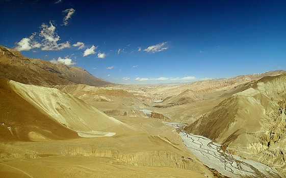
Kagbeni sits where the Muktinath river meets the Kali Gandaki, at about 2,800 m, in the Mustang district. It is described as one of the oldest villages in the Himalaya, and it is the last open village before the restricted area of Upper Mustang begins.
Key facts
Heights and times here are rounded. A lodge sign or your guide's GPS may differ by a little.
- Elevation: about 2,804 m.
- Location: Kali Gandaki valley, Mustang district, between Jomsom and Muktinath.
- Population: a small year-round population of farming and lodge-keeping families.
- Role: checkpoint and gateway to Upper Mustang.
A trading crossroads
For centuries the Kali Gandaki valley was a trade route between Tibet and India, carrying salt, grain and wool. Kagbeni sat at the point where trade routes and local paths met, which explains its fortified look and narrow lanes.
Sacred rivers
Hindus regard the confluence of the Kali Gandaki and Muktinath rivers as sacred, and pilgrims perform rituals here, especially in connection with ancestors. Look for shrines near the riverbank.
What the village looks like
- Mud-brick houses with flat roofs and small windows.
- Narrow, shaded lanes and covered passages.
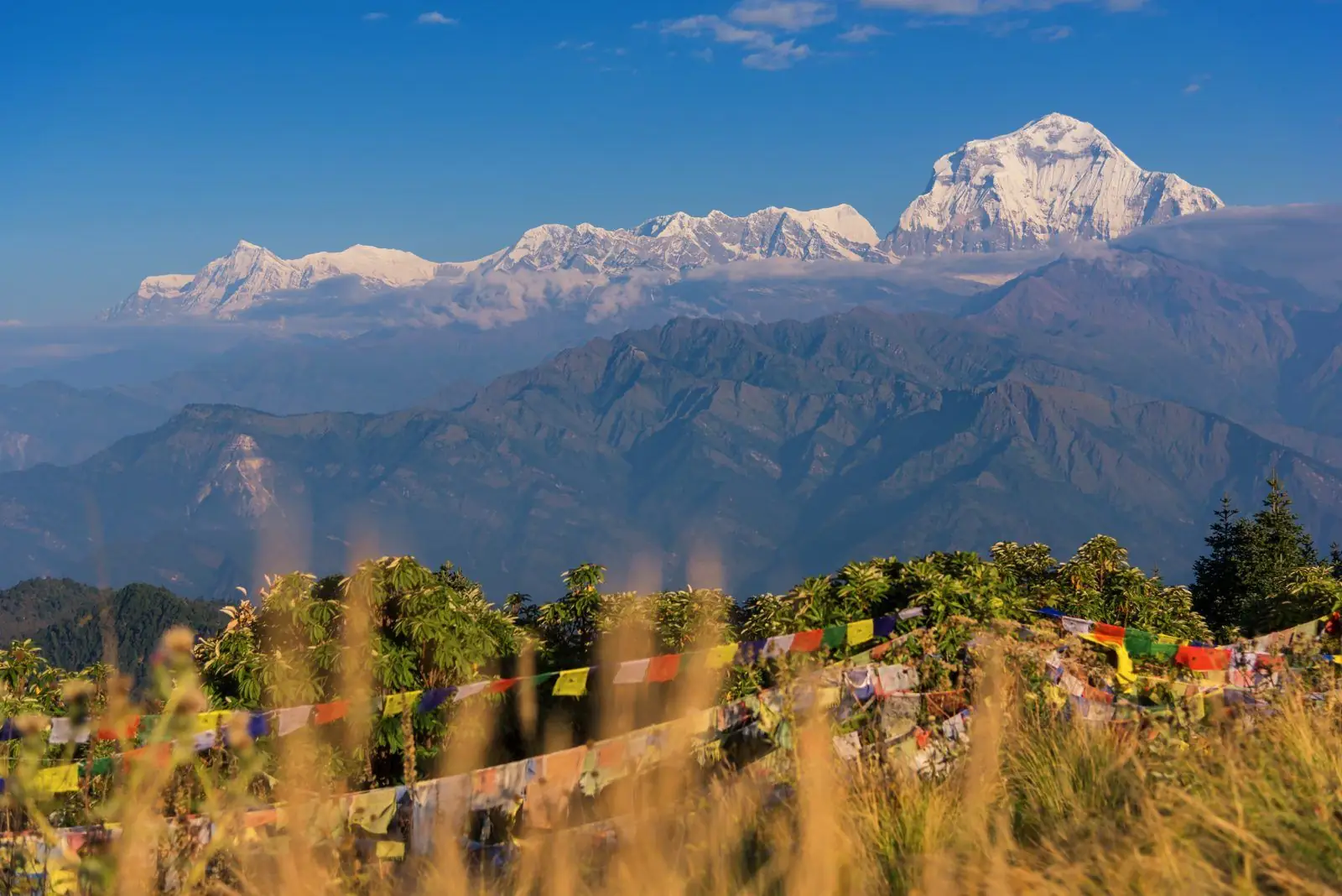
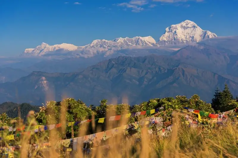
- Prayer flags, chorten and a red-walled monastery.
- Barley and buckwheat fields watered by channels from the river.
Gateway to Upper Mustang
Just beyond the village, a checkpoint controls entry to Upper Mustang, where a restricted-area permit is required. See the Upper Mustang permit guide.
Daily life in Kagbeni
Kagbeni is a working village, not a museum. Families farm barley, buckwheat and apples, keep goats and yaks, and run lodges and shops. Water comes through channels from the river. Mornings are quiet and the air smells of woodsmoke. In the afternoon the wind picks up, and people gather in sheltered lanes.
The medieval impression
Many visitors say Kagbeni looks like a film set from another century. The narrow lanes, covered passages and flat-roofed houses were designed for defence and for shelter from wind. The village was a trading post and customs point, and its layout reflects that history. Walking its lanes is a way to feel how trade shaped life in the Himalaya.
A place of pilgrimage
Kagbeni is mentioned in pilgrim itineraries as a place to honour ancestors at the river confluence. If you see a ceremony, observe quietly from a distance and do not photograph without permission.
Common questions
How high is Kagbeni?
About 2,804 m.
Is Kagbeni in Upper Mustang?
It is the last open village before the restricted zone, and is often described as the gateway to Upper Mustang.
Why is Kagbeni special?
Its medieval look, its position at a sacred river confluence and its role as a trade crossroads.