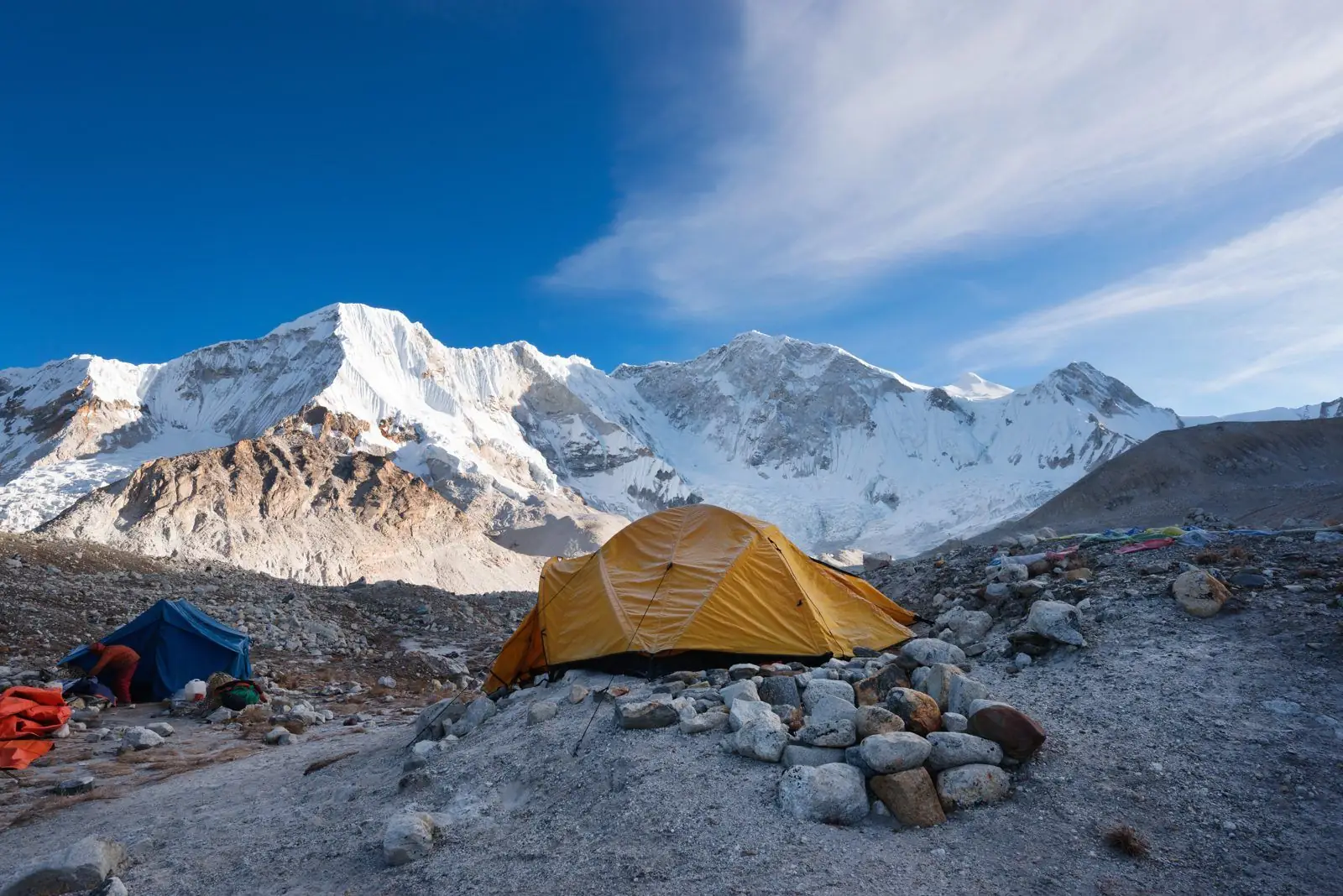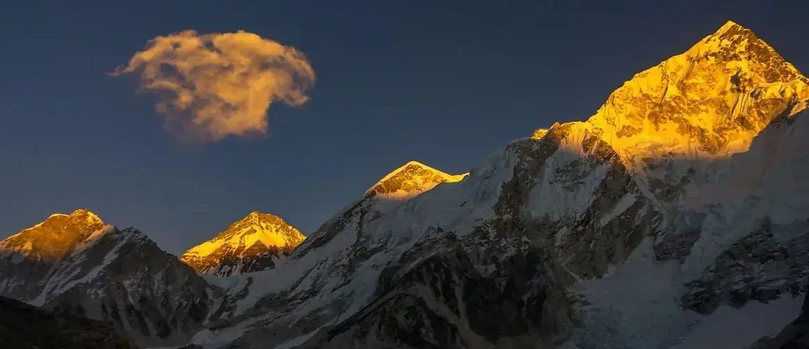
Lhotse is the fourth highest mountain in the world at about 8,516 m. It stands directly south of Everest, joined to it by the South Col, and is visible from many points on the Everest trek.
The fourth highest mountain on Earth
Lhotse stands at 8,516 m on the border of Nepal and Tibet, a few kilometres south of Everest and joined to it by the high saddle of the South Col. The name means South Peak in Tibetan, which reflects how closely the two mountains have always been linked in local geography. For trekkers on the Everest route it is the great wall of rock and ice that fills the sky above Chhukung and Dingboche, and from Kala Patthar it rises directly beside Everest.
Three summits, one massif
The massif has three named summits. The main summit is 8,516 m, Lhotse Middle is about 8,410 m, and Lhotse Shar is about 8,380 m. Lhotse Middle was one of the last 8,000 m summits to be climbed, with a first ascent by a Russian team in 2001. Lhotse Shar was first climbed in 1970 by an Austrian team. The separate summits are rarely attempted today compared with the main peak.
The first ascent
The main summit was first climbed in May 1956 by the Swiss climbers Ernst Reiss and Fritz Luchsinger, as part of a Swiss expedition that also made the second ascent of Everest. They followed the Everest route through the Khumbu Icefall and the Western Cwm, then climbed the steep Lhotse Face and a narrow gully near the top.
The standard route today
Most modern expeditions climb the same line, sharing the lower route with Everest through the icefall to Camp 3 on the Lhotse Face, then branching off toward the Reiss couloir and the summit. Climbers share fixed ropes with Everest teams until the split, and the final section is steep and exposed.
Why it matters to trekkers
You do not need to climb Lhotse to appreciate it. Seen from the trail, its south face is one of the largest rock and ice walls in the Himalaya, and the scale helps put the Everest region in perspective. See the viewpoint guide for the best places to look.