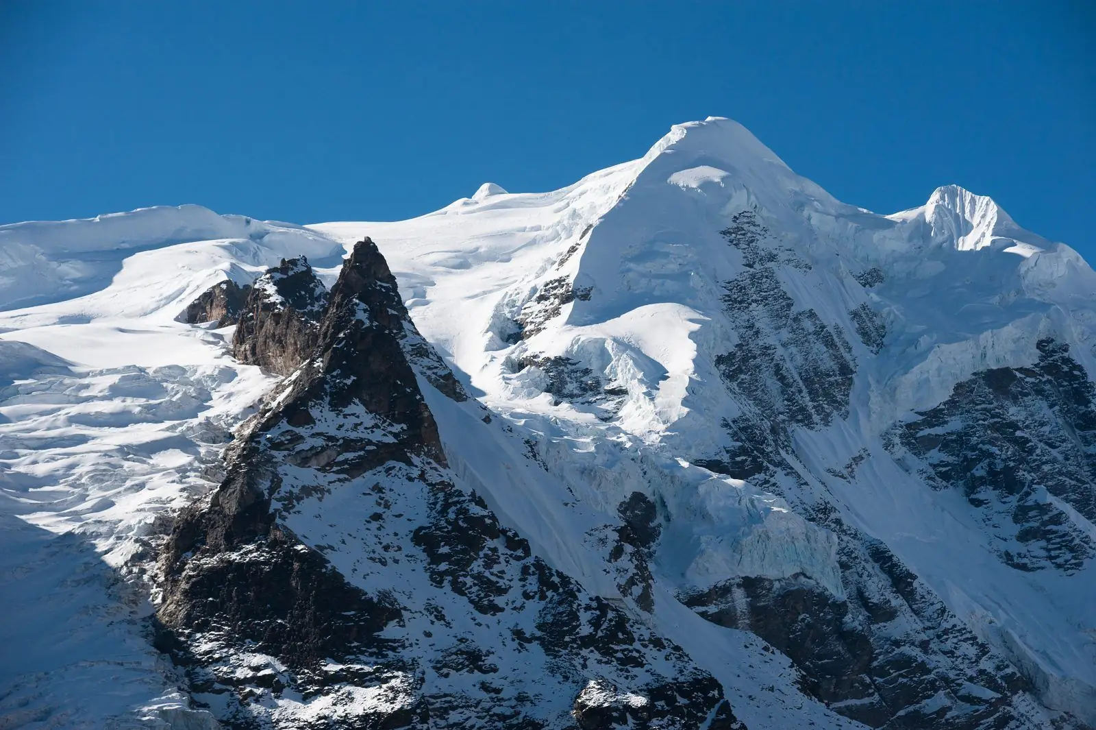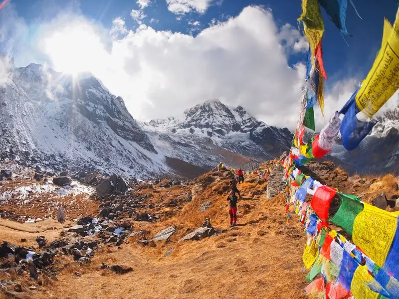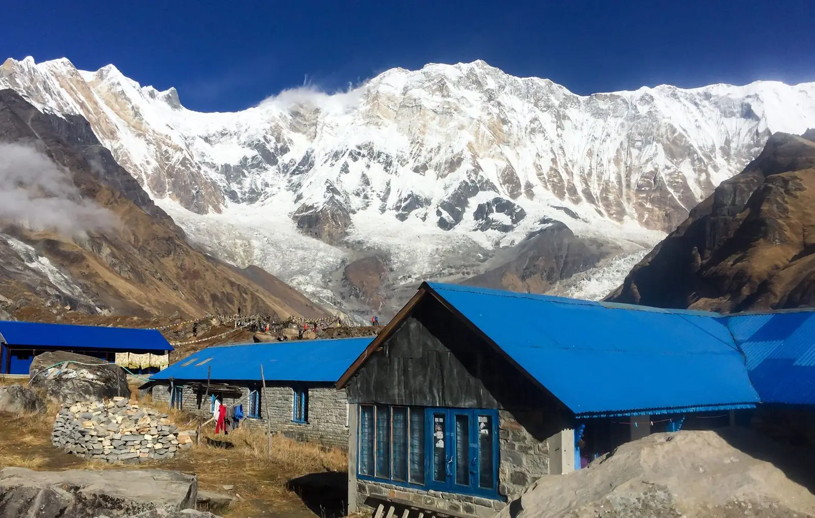
This route profile shows how high you sleep each night on our 21-day Annapurna Circuit and Annapurna Base Camp Trek. You cross Thorong La, drop down the Kali Gandaki to Tatopani, then climb again through Ghorepani and Tadapani to Annapurna Base Camp. The highest overnight stops are Thorong Phedi (about 4,450 m) and Annapurna Base Camp (about 4,130 m). All heights are approximate.
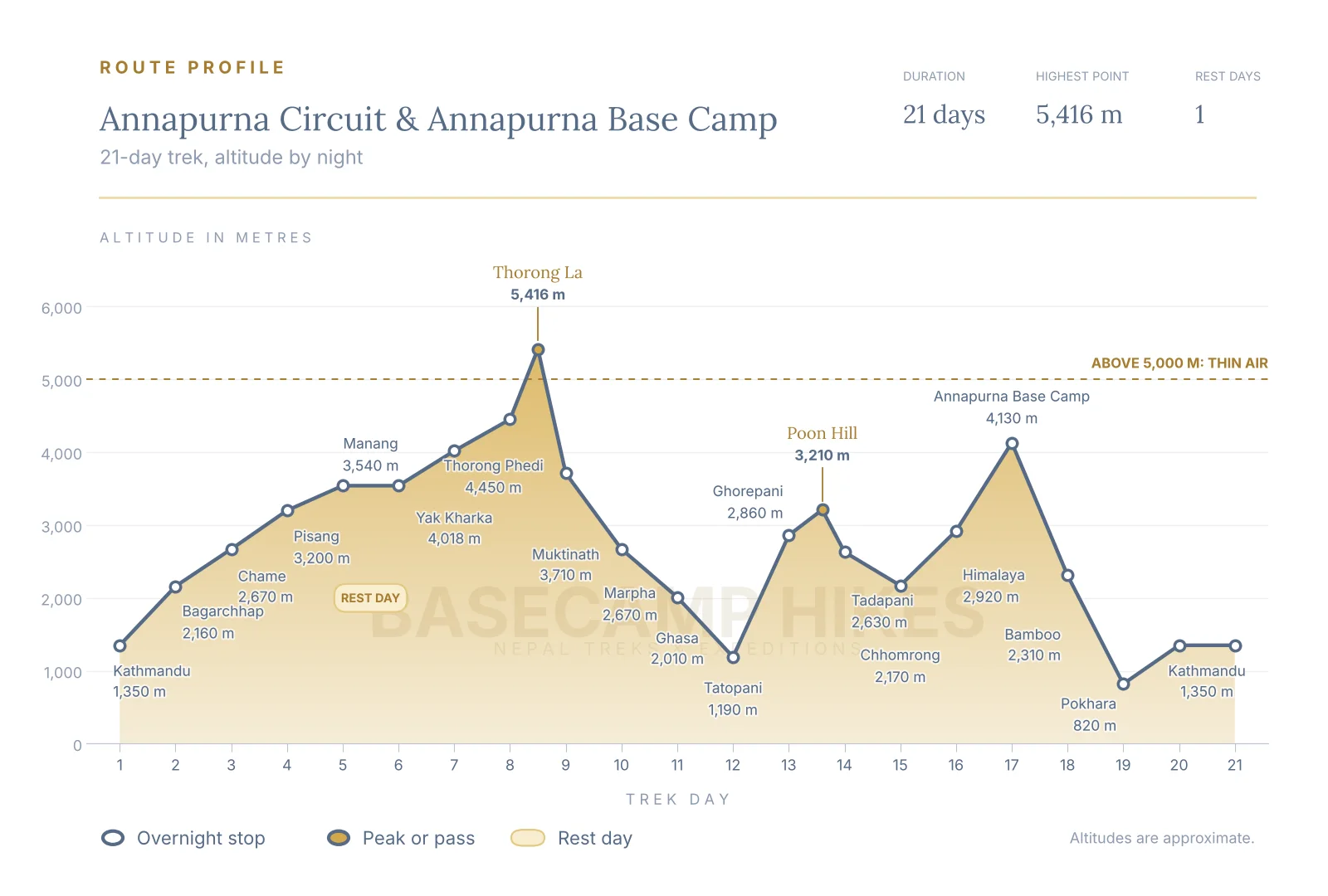
Altitude by night, day by day
Here is where you sleep on each of the 21 days. Heights vary a little between maps and guidebooks, so treat them as a guide to the shape of the route, not a survey.
- Day 1: Kathmandu, about 1,350 m
- Day 2: Bagarchhap, about 2,160 m
- Day 3: Chame, about 2,670 m
- Day 4: Pisang, about 3,200 m
- Day 5: Manang, about 3,540 m
- Day 6: Manang, about 3,540 m (rest and acclimatisation day)
- Day 7: Yak Kharka, about 4,018 m
- Day 8: Thorong Phedi, about 4,450 m
- Day 9: Muktinath, about 3,710 m (after crossing Thorong La, about 5,416 m)
- Day 10: Marpha, about 2,670 m
- Day 11: Ghasa, about 2,010 m
- Day 12: Tatopani, about 1,190 m
- Day 13: Ghorepani, about 2,860 m
- Day 14: Tadapani, about 2,630 m (after Poon Hill at dawn, about 3,210 m)
- Day 15: Chhomrong, about 2,170 m
- Day 16: Himalaya, about 2,920 m
- Day 17: Annapurna Base Camp, about 4,130 m
- Day 18: Bamboo, about 2,310 m
- Day 19: Pokhara, about 820 m
- Day 20: Kathmandu, about 1,350 m
- Day 21: Kathmandu, about 1,350 m (departure day)
Where the height is gained
The route has two separate climbs. The first runs from Bagarchhap at about 2,160 m to Thorong Phedi at about 4,450 m over six nights, with a rest day at Manang to settle in. After Thorong La you lose about 3,260 m to Tatopani at about 1,190 m. The biggest single overnight gain on the trek is then Tatopani to Ghorepani, about 1,670 m, followed by Himalaya to Annapurna Base Camp, about 1,210 m. Pace yourself on both, drink well and eat even when appetite is low. This is general information, not medical advice.
Viewpoints and passes above the night stops
Two of the high points are not places where you sleep. Thorong La (about 5,416 m) is crossed on day 9 between Thorong Phedi and Muktinath, and Poon Hill (about 3,210 m) is a dawn climb from Ghorepani on day 14 before you walk on to Tadapani. Because you sleep lower than both, they add effort but do not raise your sleeping altitude.
Rest days built into the route
There is one planned rest day, at Manang on day 6, where you sleep at the same height two nights in a row. A short walk higher and back down to sleep is the classic way to help the body adjust before Yak Kharka and Thorong Phedi. If you feel unwell on a rest day, say so early, because it is the cheapest day to add an extra stop. Thorong La can be affected by snow and wind, so many trekkers add a spare day around the crossing.
How to use this profile when planning
Compare the shape with the Annapurna Circuit and Annapurna Base Camp routes on their own. The circuit climbs gradually to Thorong Phedi and then falls away, while the sanctuary climb comes later, after you have dropped to Tatopani, so the profile has two humps rather than one. Pair the chart with the day by day itinerary on the trek page for walking times and lodges. Dates, rules and conditions change, so confirm the current plan with us before you book.
Common questions
How high is the highest night on the Annapurna Circuit and Annapurna Base Camp trek?
The highest overnight stop is Thorong Phedi, at about 4,450 m, on day 8. Annapurna Base Camp, at about 4,130 m, is the second highest night, on day 17. Thorong La, at about 5,416 m, is higher but you cross it in a day and sleep lower at Muktinath. Figures are approximate and differ slightly between sources.
Why is there only one rest day on this 21-day route?
The rest day at Manang, at about 3,540 m, comes before the high section and is the key acclimatisation stop. After Thorong La the route drops to about 1,190 m at Tatopani, so you sleep low for several nights before the second climb to Annapurna Base Camp. Slow pace, plenty of water and honest reporting of symptoms matter more than extra days. This is general information, not medical advice.
Are the altitudes on this route profile exact?
No. Villages and camps are quoted at slightly different heights by different maps and guidebooks, so we show approximate figures. They are accurate enough to judge the shape of the route and the pace of the climb.