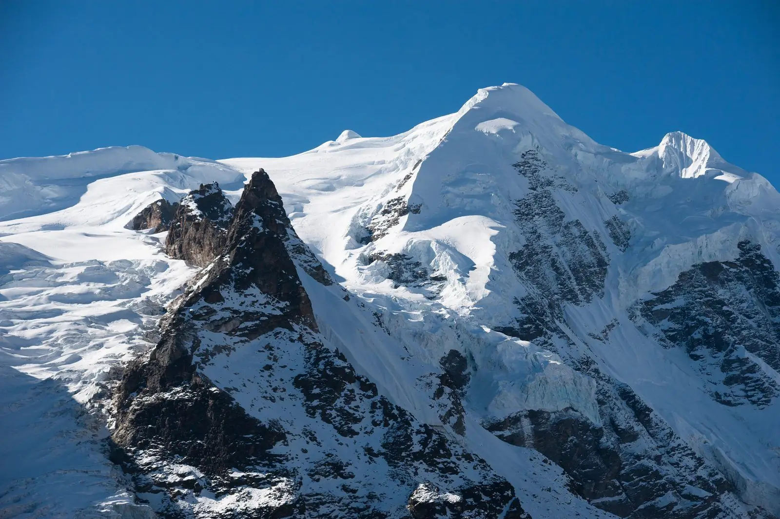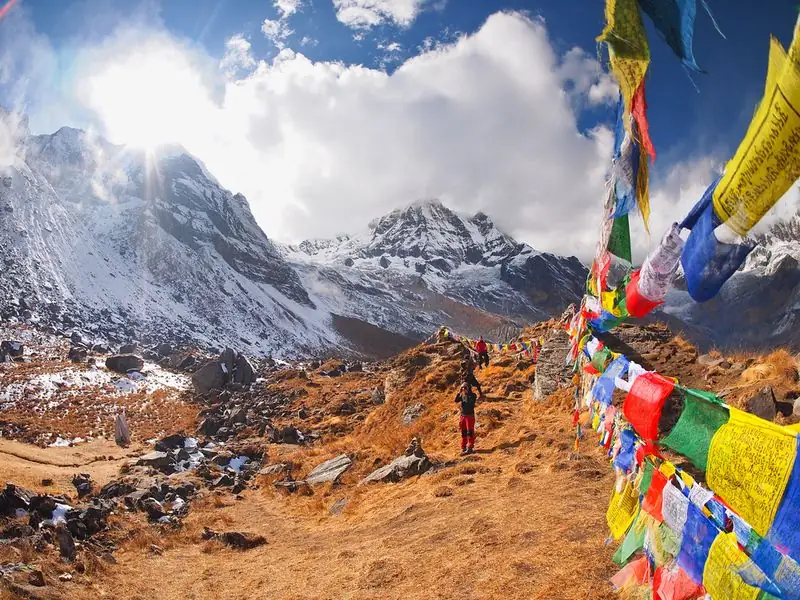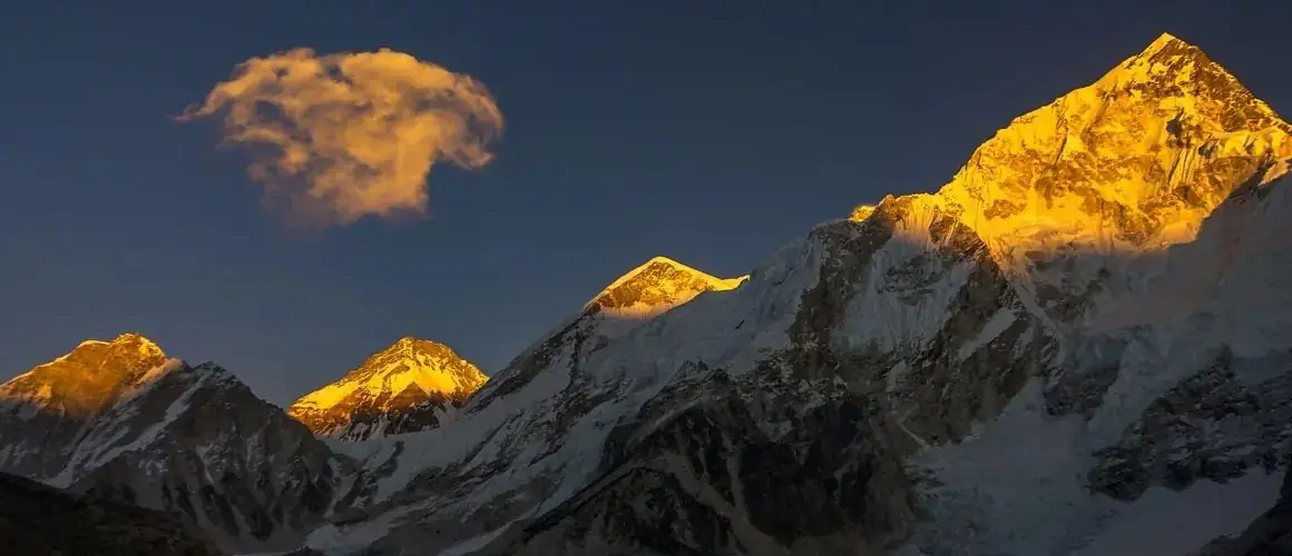
This route profile shows how high you sleep each night on our 17-day Gokyo First, Cho La and Everest Base Camp Trek. You climb to the Gokyo Lakes first, cross the Cho La and finish at Everest Base Camp and Kala Patthar. The highest nights are at Gokyo (about 4,790 m) and Gorak Shep (about 5,164 m). All heights are approximate.
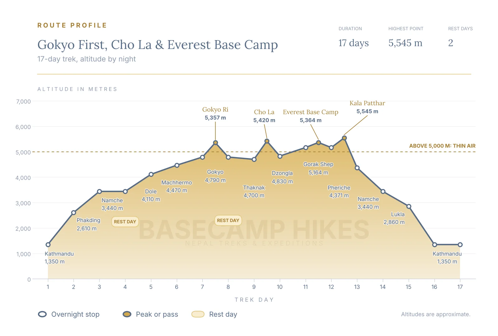
Altitude by night, day by day
Here is where you sleep on each of the 17 days. Heights vary a little between maps and guidebooks, so treat them as a guide to the shape of the route, not a survey.
- Day 1: Kathmandu, about 1,350 m
- Day 2: Phakding, about 2,610 m
- Day 3: Namche Bazaar, about 3,440 m
- Day 4: Namche Bazaar, about 3,440 m (rest day)
- Day 5: Dole, about 4,110 m
- Day 6: Machhermo, about 4,470 m
- Day 7: Gokyo, about 4,790 m
- Day 8: Gokyo, about 4,790 m (rest day, Gokyo Ri)
- Day 9: Thaknak, about 4,700 m
- Day 10: Dzongla, about 4,830 m
- Day 11: Gorak Shep, about 5,164 m
- Day 12: Gorak Shep, about 5,164 m (Everest Base Camp day)
- Day 13: Pheriche, about 4,371 m
- Day 14: Namche Bazaar, about 3,440 m
- Day 15: Lukla, about 2,860 m
- Day 16: Kathmandu, about 1,350 m
- Day 17: Kathmandu, about 1,350 m (departure day)
Where the height is gained
On the trail itself, the biggest overnight gain is from Phakding to Namche Bazaar, about 830 m, followed by Namche to Dole, which adds roughly 670 m but only after a rest day in Namche. After Dole the climbing is gentler: about 360 m to Machhermo, then about 320 m to Gokyo. Going to the lakes first means you reach nearly 4,800 m by day 7 and stay in that band until Gorak Shep, so the middle of this trek is a long stretch at altitude. Drink well, eat even when your appetite is low and walk slowly. This is general information, not medical advice.
Viewpoints and passes above the night stops
Several of the highest points are not places where you sleep: Gokyo Ri (about 5,357 m) is a morning climb from Gokyo; the Cho La (about 5,420 m) is crossed between Thaknak and Dzongla; Everest Base Camp (about 5,364 m) is a day walk from Gorak Shep; and Kala Patthar (about 5,545 m) is the high point of the trip, climbed at dawn before the long descent. Because you sleep lower than each of these, they add effort but do not raise your sleeping altitude.
Rest days built into the route
There are two planned rest days: day 4 at Namche Bazaar and day 8 at Gokyo, where you sleep at the same height two nights running and use the daylight for Gokyo Ri. You also spend two nights at Gorak Shep, which makes the Everest Base Camp day easier to manage. If you feel unwell on a rest day, say so early, because it is the cheapest day to add an extra stop. The Cho La day is long and the pass can be affected by snow and ice, so many trekkers add a spare day around it.
How to use this profile when planning
Compare the shape with the standard Everest Base Camp route. That route climbs in a steady staircase and ends at Gorak Shep. This one reaches high early, holds near 4,700 to 4,800 m for several nights and then goes over a pass, so it suits trekkers who have walked at altitude before or who have time for a slower pace. Pair the chart with the day by day itinerary on the trek page for walking times and lodges. Dates, rules and conditions change, so confirm the current plan with us before you book.
Common questions
How high is the highest night on the Gokyo first trek?
The highest overnight stop is Gorak Shep, at about 5,164 m, on days 11 and 12. Kala Patthar, at about 5,545 m, is higher but is a dawn climb, and you sleep lower. Figures are approximate and differ slightly between sources.
Why go to Gokyo before Everest Base Camp?
Reaching Gokyo first lets you see the lakes and Gokyo Ri while you are still fresh, and crosses the Cho La in a direction where the steeper climb comes early in the day. The trade-off is that you spend several nights near 4,700 to 4,800 m before Gorak Shep, so a rest day at Namche and a slow pace matter.
Are the altitudes on this route profile exact?
No. Villages and camps are quoted at slightly different heights by different maps and guidebooks, so we show approximate figures. They are accurate enough to judge the shape of the route and the pace of the climb.