




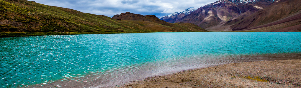
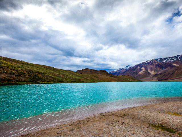
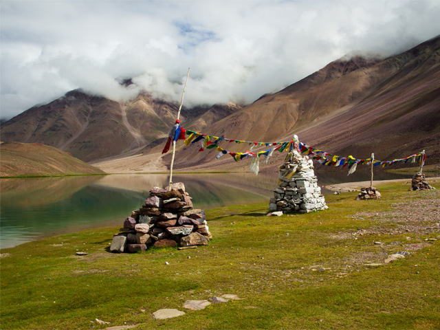
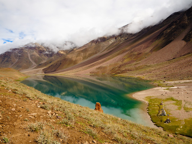
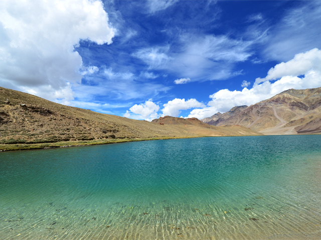
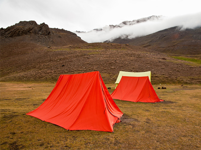
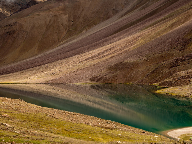
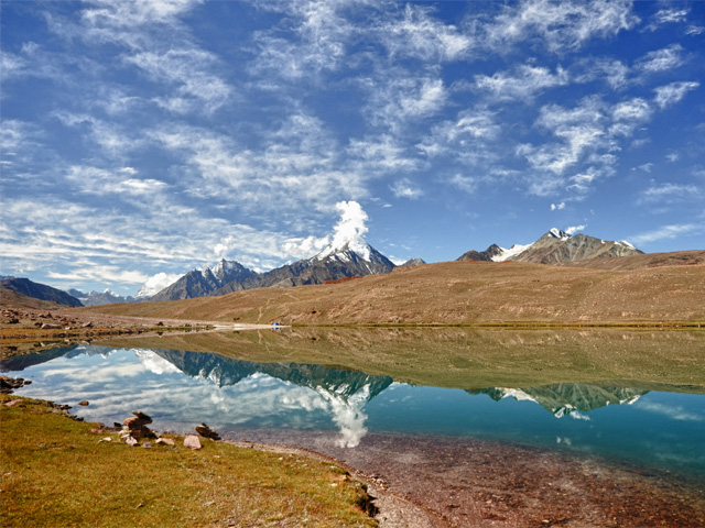
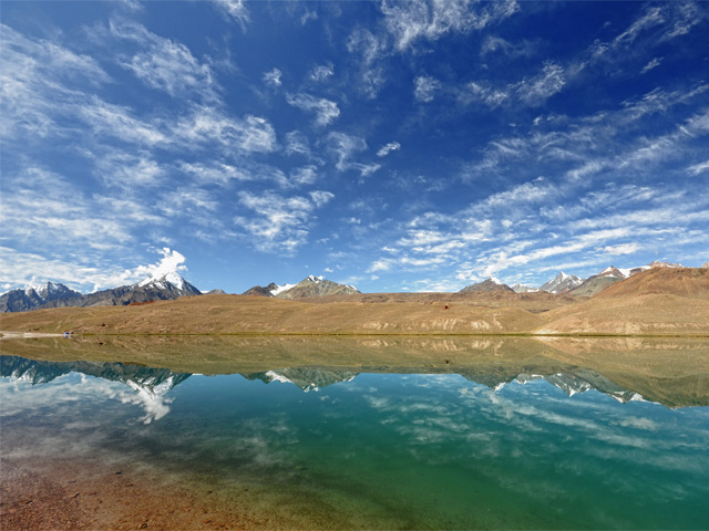
Chandra Taal, "the Lake of the Moon", lies at about 4,300 m (14,100 ft) in the Spiti part of Lahaul and Spiti district in Himachal Pradesh. Its name comes from its crescent shape. Steep mountains of scree rise on one side, while a magnificent cirque curves around the other, and the water itself is a clear, intense blue that changes with the weather. Camping beside the lake, under a sky full of stars, is the main reason trekkers and overlanders come.
The lake is accessible on foot from Batal or from the Kunzum Pass between late May and early October. There is also a motor road from Batal, 14 km away, though before August its condition can be poor. The most unusual thing about Chandra Taal is that there is no visible stream flowing in, but there is a visible outlet, which suggests that the water arrives from underground. Local legends associate the lake with the god Indra, whose chariot is said to have landed on the meadow nearby.
Camps are set up on the grassy plateau a short distance from the shore, and visitors are asked to stay away from the water's edge to protect it from pollution. At this altitude, nights are very cold even in summer, and altitude sickness is possible, so spend a night at Kaza or Batal first. The best months are June to September, and the road may close with snow at any time outside that period.
Featured Adventure

Quick Answers about Chandra Taal
What is the elevation of Chandra Taal?
Chandra Taal is at an elevation of 4,300 m.
Where is Chandra Taal located?
Chandra Taal is in India, at latitude 32.483377, longitude 77.615726.
What is Chandra Taal also known as?
Chandra Taal is also known as Chandra Tal.

