




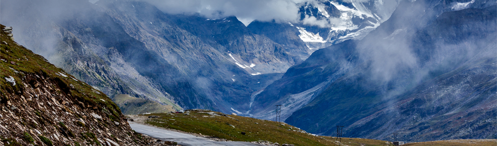
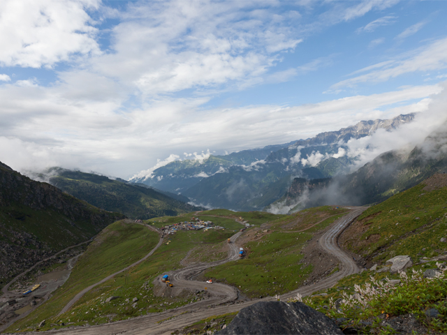
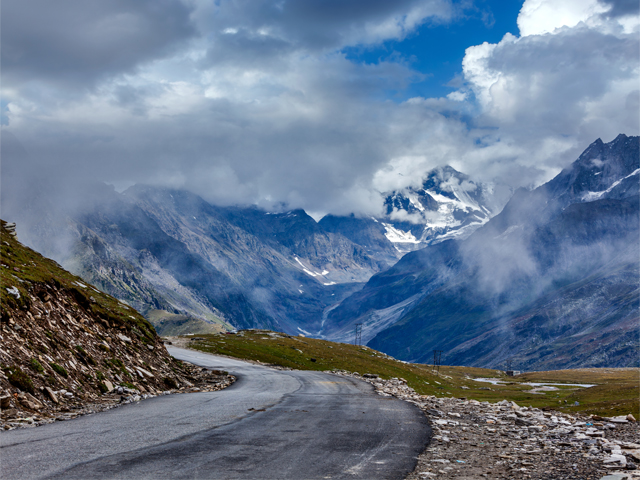
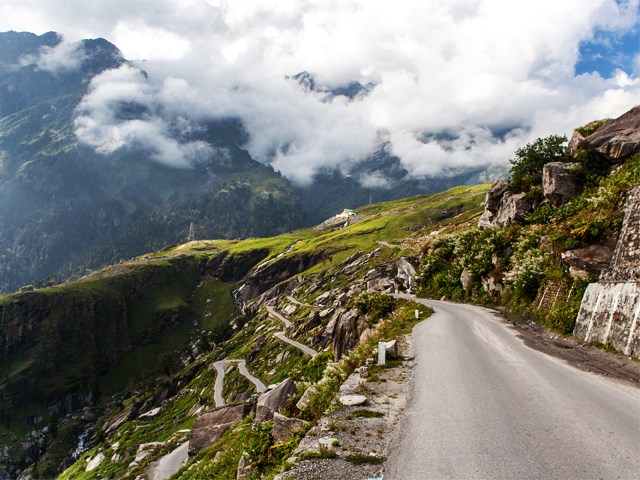
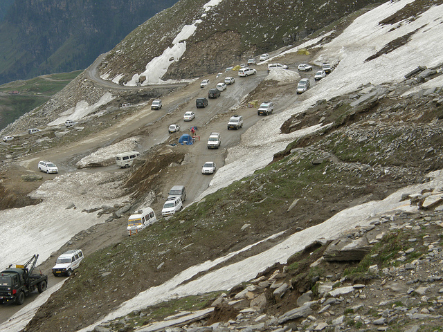
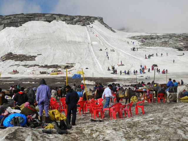
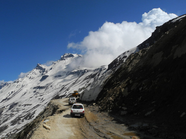
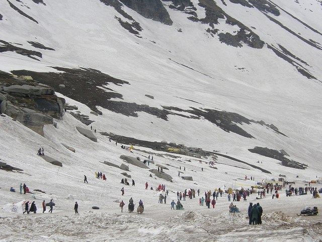
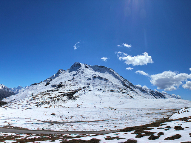
Rohtang Pass is a high mountain pass on the eastern Pir Panjal range of the Himalaya, around 51 km from Manali. It connects the Kullu Valley with the Lahaul and Spiti Valleys of Himachal Pradesh, and the Manali-Leh Highway, part of NH 21, crosses it. For centuries it has been the main gateway for traders and travellers heading north, and its reputation for danger is old: the name is sometimes translated as "pile of corpses", a reminder of the many lives lost in storms.
The pass forms a natural divide between two worlds. On the southern side lies the humid Kullu Valley, with a primarily Hindu culture, forests and orchards. To the north are the arid, high-altitude valleys of Lahaul and Spiti, with a Buddhist culture and almost no trees. The pass also lies on the watershed between the Chenab and Beas basins: on the southern side, the Beas emerges from underground and flows south, while on the northern side the Chandra River, a source stream of the Chenab, flows west.
The pass is open from May to November. By Himalayan standards it is not particularly high or difficult to cross on foot, but it has a well-deserved reputation for being dangerous because of unpredictable snowstorms and blizzards. A permit system limits the number of vehicles on the road in the season, and road conditions can change daily, so check locally. With the Atal Tunnel now carrying much of the traffic to Lahaul, many travellers bypass the pass entirely, but a day trip for the snow and views is still popular in summer. Balaji Photography Axel Drainville Vikramdeep Sidhu Axel Drainville Balaji Photography
Featured Adventure

Quick Answers about Rohtang Pass
What is the elevation of Rohtang Pass?
Rohtang Pass is at an elevation of 3,978 m.
Where is Rohtang Pass located?
Rohtang Pass is in Himachal Pradesh, India, at latitude 32.372844, longitude 77.246450.

