




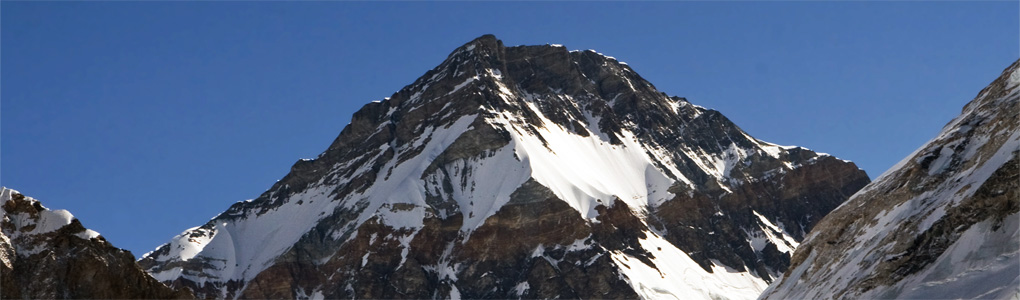
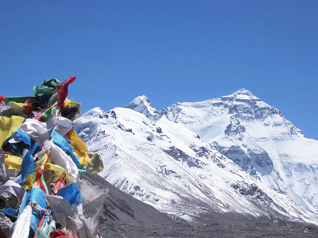
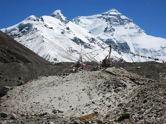
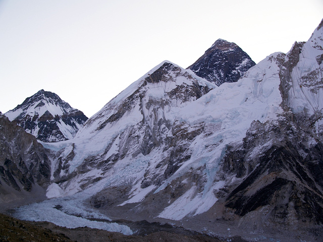
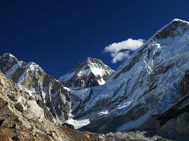
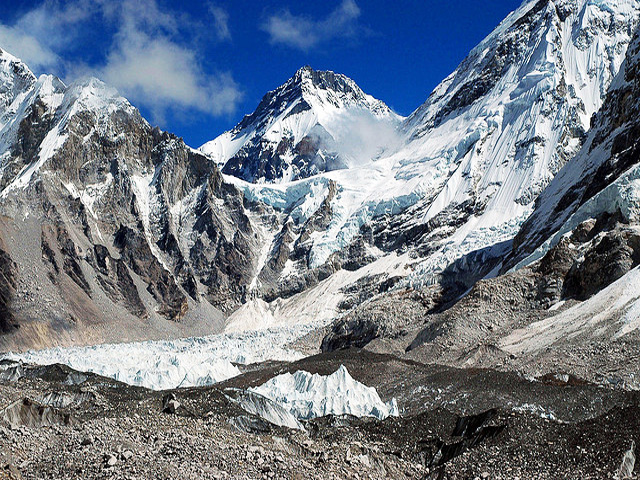
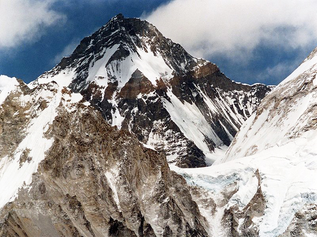
Changtse stands between the Main Rongbuk and East Rongbuk glaciers in Tibet, immediately north of Mount Everest, and is linked to Everest by the North Col. The 7,543 m figure comes from modern Chinese mapping, while some authorities give 7,583 m. The name means "north peak" in Tibetan, which describes its position relative to Everest exactly. Climbers heading for Everest from the north pass beneath it on their way to Advanced Base Camp.
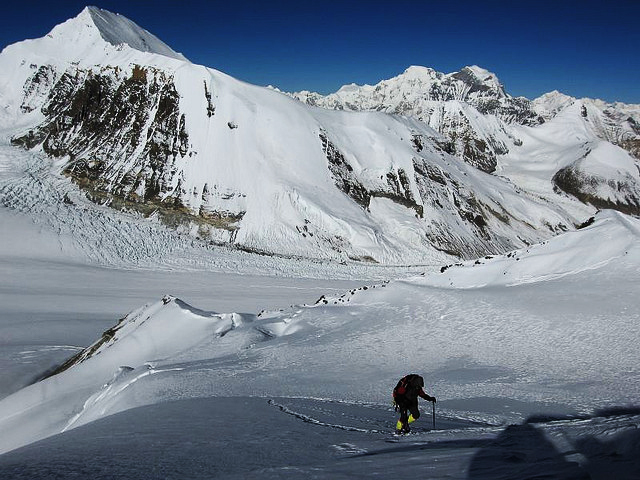
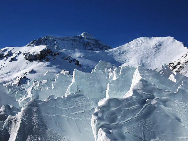
The Changtse Glacier flows north into the East Rongbuk Glacier, and it may hold the third highest lake in the world, at 6,216 m. Two Australians, Rob Turner and Glen Nash, reached the summit on 29 September 1987 by the north face ice wall (the 1986 Japanese route), despite high winds. Although it is often treated as a satellite of Everest, Changtse is a major mountain in its own right and has seen a number of ascents from the Tibetan side.
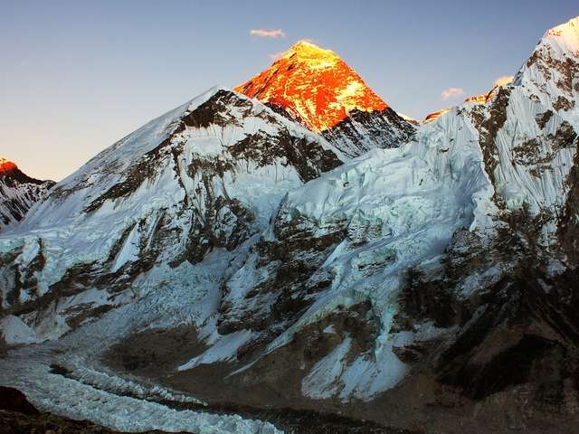
Visitors to the Tibetan side of Everest see it clearly from the Rongbuk Monastery area and from the base camp road, and the views of its snow slopes alongside the north face of Everest are among the grandest in Tibet. Travel to this region requires Tibet and Everest region permits, and access is controlled by Chinese authorities. The best season for clear views is spring and autumn.
Image From Flickr: Steynard, Robert Nunn, Ben Tubby, Volvatella, Philip Hassell, Steynard
Featured Adventure
Quick Answers about Changtse
What is the elevation of Changtse?
Changtse is at an elevation of 7,543 / 24,747 ft.
Where is Changtse located?
Changtse is located at latitude 28.025278, longitude 86.914167.

