




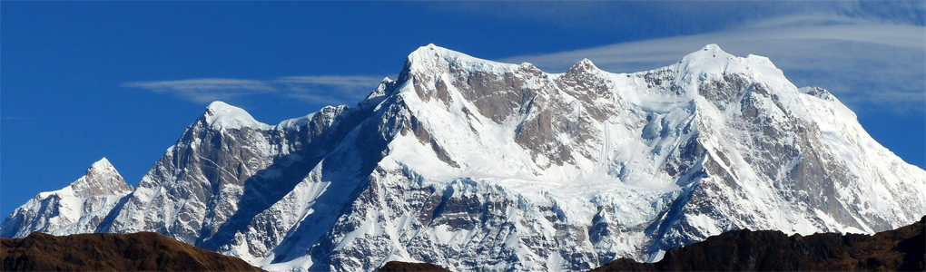
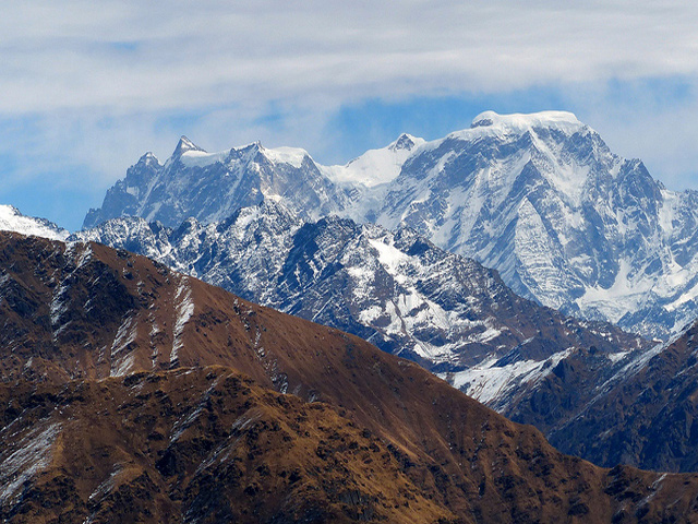
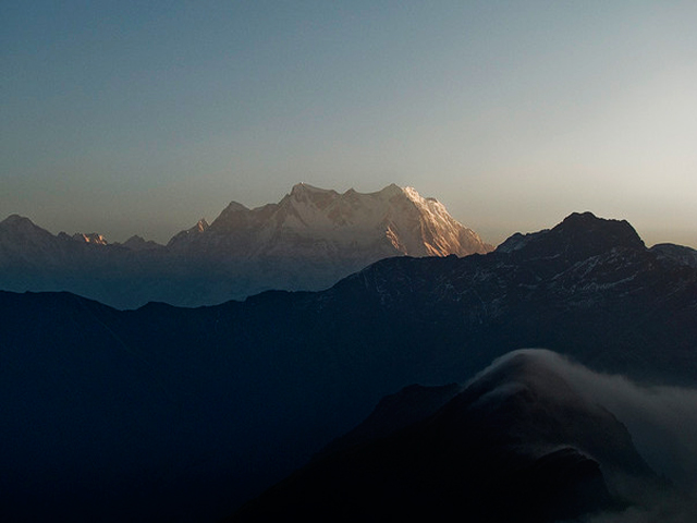
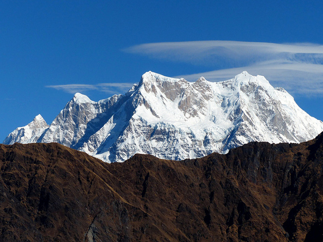
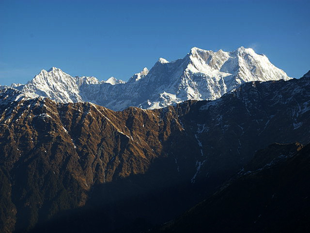
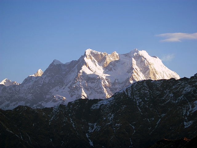
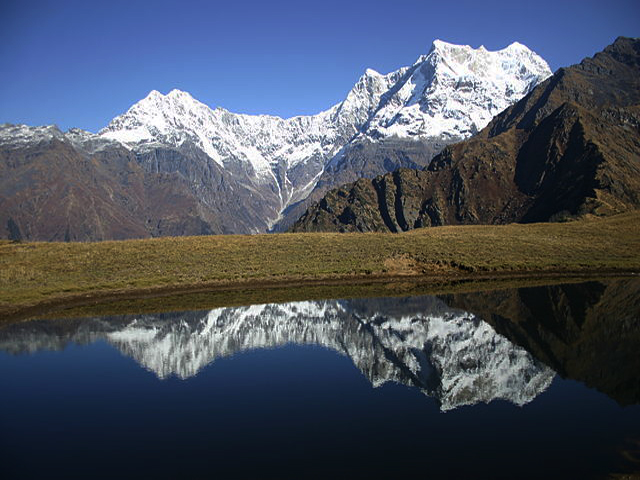
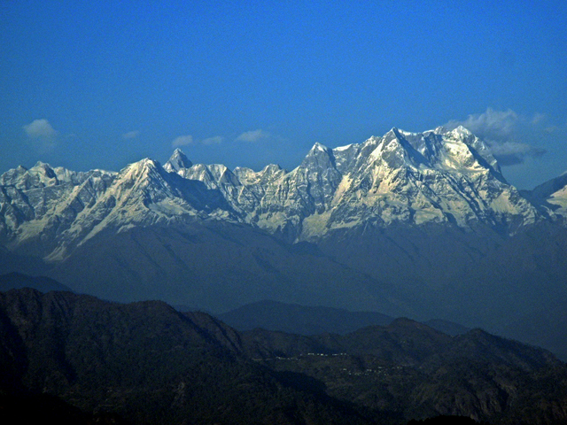
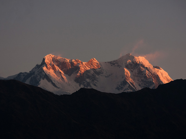
Chaukhamba is a mountain massif in the Gangotri group of the Garhwal Himalaya, in Uttarakhand, west of the Hindu town of Badrinath. Its highest point, Chaukhamba I, is the highest peak of the group and the eastern anchor of the range, at the head of the Gangotri Glacier. The name means "four pillars", and the massif has four summits along a north-east to south-west ridge, between 6,854 m and 7,138 m, with an average height of 7,014 m; the main summit is at the north-east end.
After failed attempts in 1938 and 1939, Chaukhamba I was first climbed on 13 June 1952 by Lucien George and Victor Russenberger, Swiss members of an otherwise French expedition, by the north-east face from the Bhagirathi-Kharak Glacier. Since then, the peak has seen very few ascents, because of its steep faces and unstable snow. The neighbouring Satopanth and Swargarohini peaks are also climbed rarely, and the area is known for its beauty and remoteness.
Pilgrims see the massif from Badrinath and Mana village, where it forms a white backdrop to the temple. The trek to the Satopanth Tal and Vasudhara Falls gives close views. Permits from the Indian Mountaineering Foundation are needed for climbing, and the best seasons are May to June and September to October. The region receives heavy snow in winter, and the road to Badrinath is closed from November to April.
Image From Flickr: Paul Hamilton , Gaurav Agrawal , Anurag Agnihotri , Draskd
Featured Adventure
Quick Answers about Chaukhamba
What is the elevation of Chaukhamba?
Chaukhamba is at an elevation of 7,138 m / 23,419 ft.
Where is Chaukhamba located?
Chaukhamba is located at latitude 30.749722, longitude 79.291111.

