




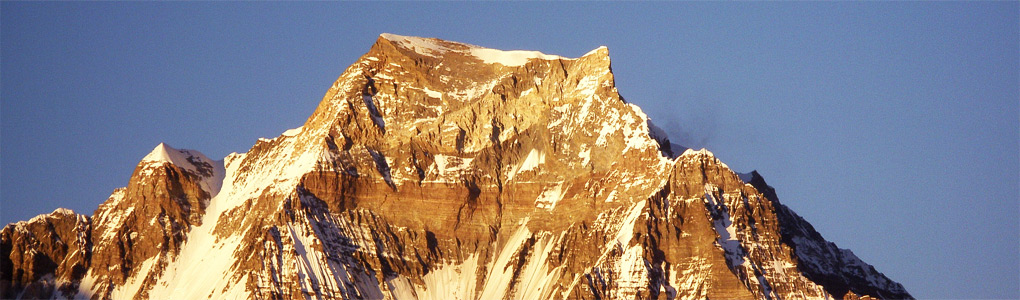
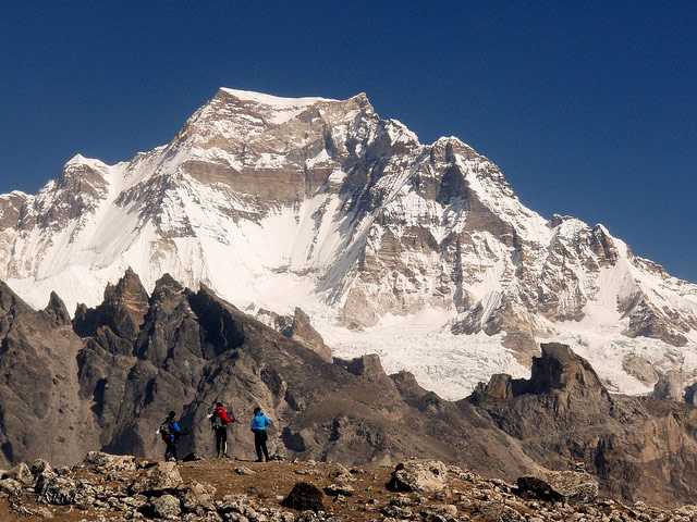
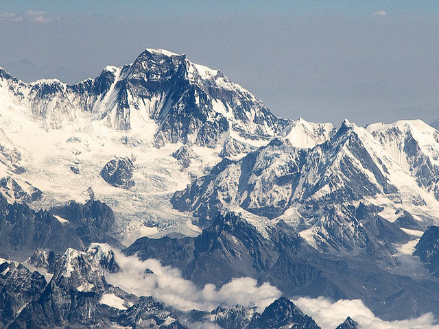
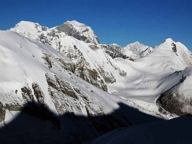
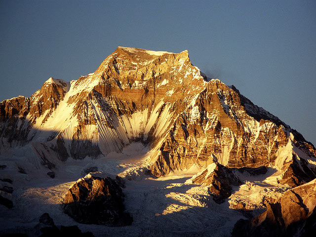
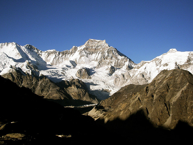
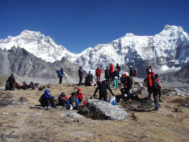
Gyachung Kang is a peak of the Mahalangur Himal in the Himalaya, and the highest between Cho Oyu (8,188 m) and Everest (8,848 m). It lies on the border between Nepal and China. At fifteenth place worldwide, it is the highest mountain that is not an 8,000 m peak, at 7,952 m. It is therefore much less well known than the lowest of the eight-thousanders, only about 100 m higher, and its modest prominence (700 m) adds to its obscurity.
A Japanese expedition made the first ascent in 1964, when Yukihiko Kato, Kiyoto Sakaizawa and Pasang Phutar reached the summit by the south face and the south-west ridge. The mountain has a reputation as a quiet, difficult objective, with a steep summit pyramid and a long approach. It is also spelled Gyachungkang.
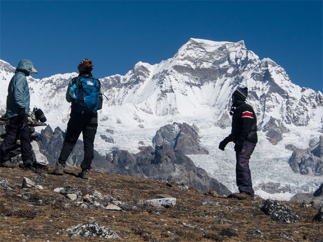
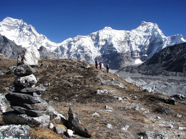
Trekkers on the Gokyo valley route or the Three Passes trek see Gyachung Kang from the Ngozumpa glacier and from Gokyo Ri, where it appears as a dark block between Cho Oyu and Everest. Climbing it needs a full expedition and a permit, and only a few teams have attempted it in recent decades. The best seasons are spring and autumn.
Image From Flickr: Akunamatata , Kiril Rusev , John Town , steynard , Lindsey Nicholson
Featured Adventure

Quick Answers about Gyachung Kang
What is the elevation of Gyachung Kang?
Gyachung Kang is at an elevation of 7,952 m / 26,089 ft.
Where is Gyachung Kang located?
Gyachung Kang is located at latitude 28.098056, longitude 86.742222.

