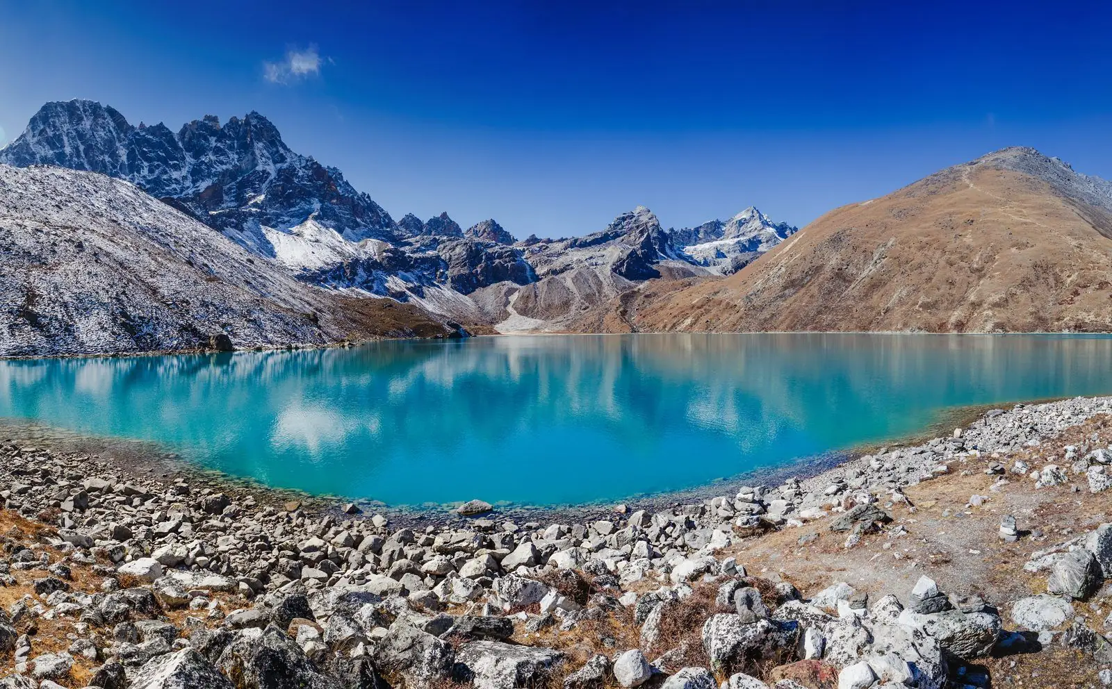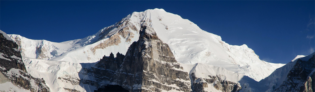
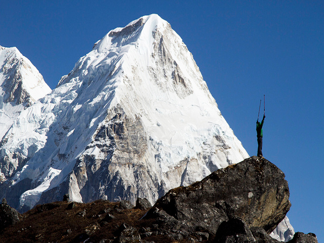
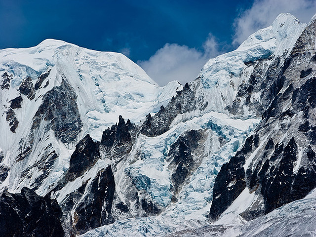
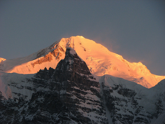
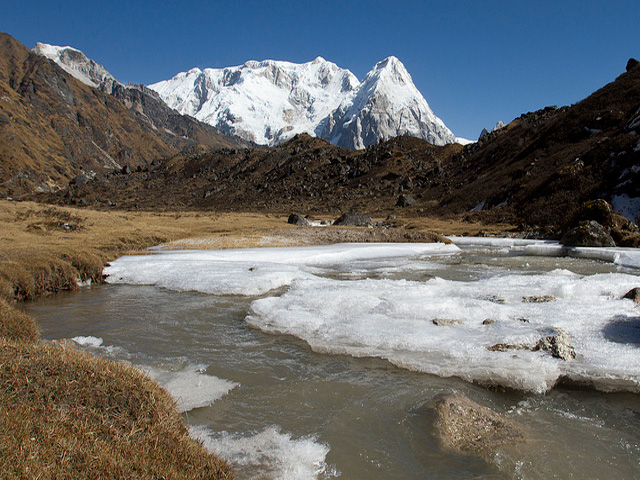
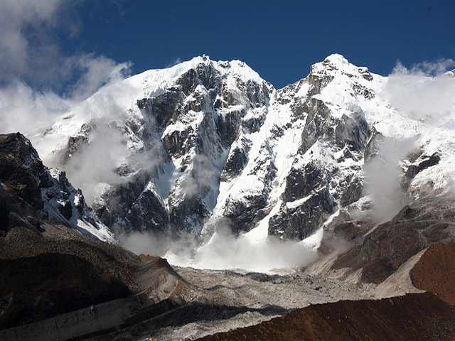
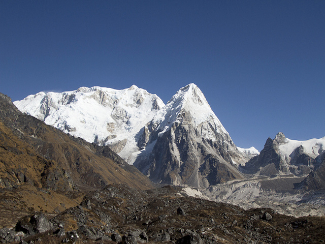
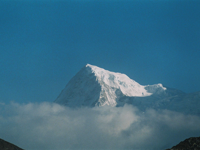
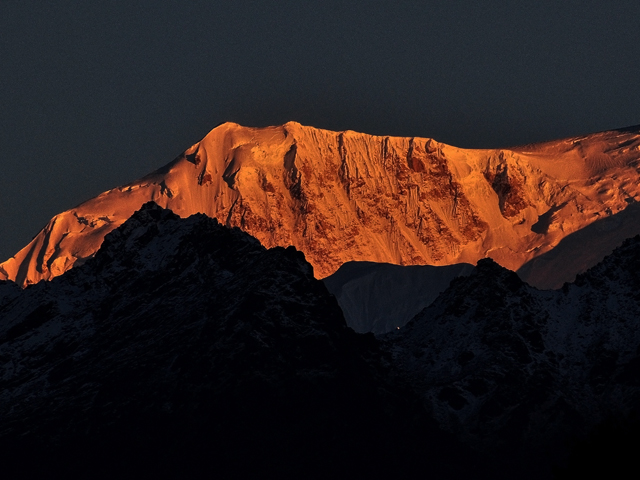
Kabru is a mountain in the Himalayas on the border of eastern Nepal and India. It is part of a ridge that extends south from Kangchenjunga and is the southernmost 7,000 metres (23,000 ft) peak in the world. To the south west of Kabru south, there is a 6400 m saddle and a 6682 m summit known as Rathong. To its south east is the 6600 m Kabru Dome."Kabru" name is correctly applied to this summit. According to the 1996 version of the Himalayan Journal (pp. 29 - 36), members of an Indian Army expedition reached this summit in May 1994.The 7338 m summit of Kabru is the site of a mountaineering altitude record, either in 1883 or in 1905. The English barrister William Graham, the Swiss hotelier Emil Boss and the Swiss mountain guide Ulrich Kauffmann reported to have reached a point 30-40 feet below this summit, which Graham described as "little more than a pillar of ice", at 2pm on October 8, 1883.
Image From Flickr: Amar Chandra , Franck Zecchin , Shillika , Great Himalaya Trail , Mike Kember , Francis Bacon , Amar Chandra , Abhijit Kar Gupta
Featured Adventure

Quick Answers about Kabru
What is the elevation of Kabru?
Kabru is at an elevation of 7,412 m / 24,318 ft.
Where is Kabru located?
Kabru is located at latitude 28.014722, longitude 86.828056.