




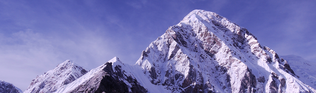
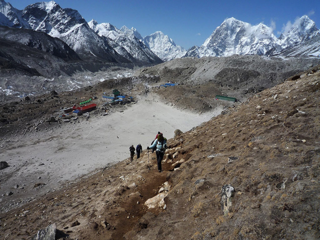
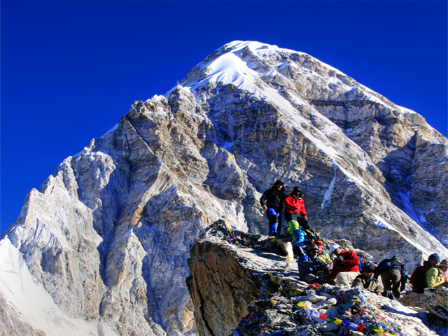
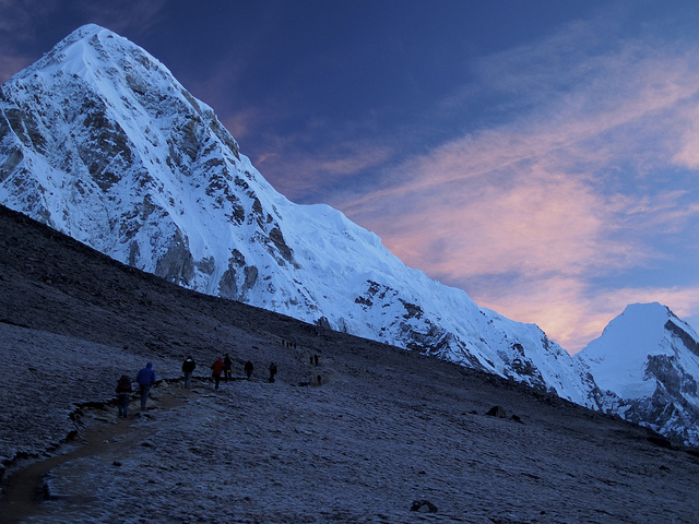
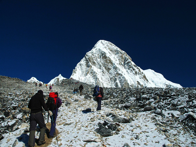
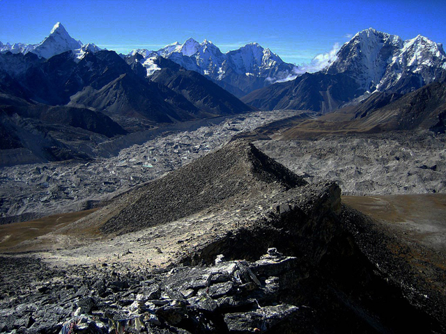
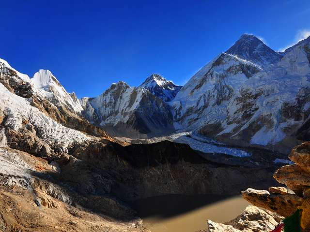
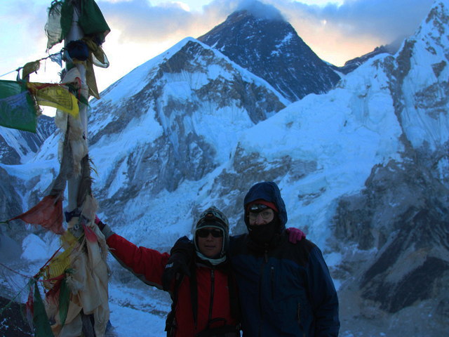
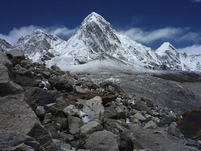
Kala Patthar means "black rock" in Nepali and Hindi. It is a ridge on the southern flank of Pumori (7,161 m), not a true mountain, with a prominence of only about 10 m. Yet it is a hugely popular objective for trekkers in the Everest region because it is the most accessible place to see Everest from the base to the summit; from Base Camp itself the top is hidden by the shape of the mountain.
The views from the summit, at about 5,545 m, are superb. Everest, Nuptse, Changtse and Pumori fill the horizon, and there are glimpses of the north face and summit of Lhotse. The world's highest webcam, the Mount Everest webcam, is installed here. The climb starts from Gorak Shep, the last settlement of the Everest Base Camp trail, and takes about two hours up a steep, rocky path, with a descent in one to one and a half hours.
Most trekkers go up at sunrise, when the light turns Everest golden but the temperature is very low, or in the late afternoon, when the crowds are thinner and the winds can be less severe. Prepare for temperatures well below freezing, strong winds and altitude headaches. Warm layers, gloves, a hat and a headlamp are essential for the pre-dawn climb. The best seasons are spring (April to May) and autumn (October to November), with clear mornings and stable weather.
Image From Flickr: Stephen Wolfe, Volvatella, Quique Cardona, Nucksfan604, strudelt, Dave, Grant Eaton, Smallufo
Featured Adventure

Quick Answers about Kala Patthar
What is the elevation of Kala Patthar?
Kala Patthar is at an elevation of 5,545 m / 18,192 ft.
Where is Kala Patthar located?
Kala Patthar is located at latitude 27.995833, longitude 86.828417.

