




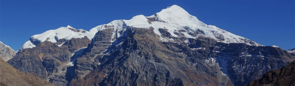
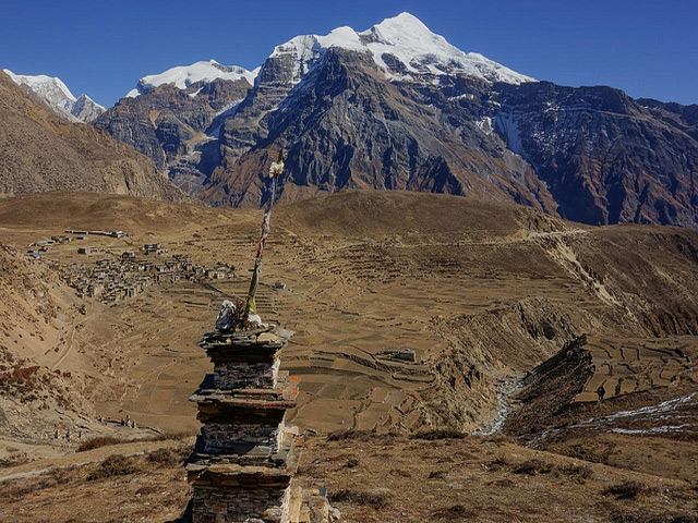
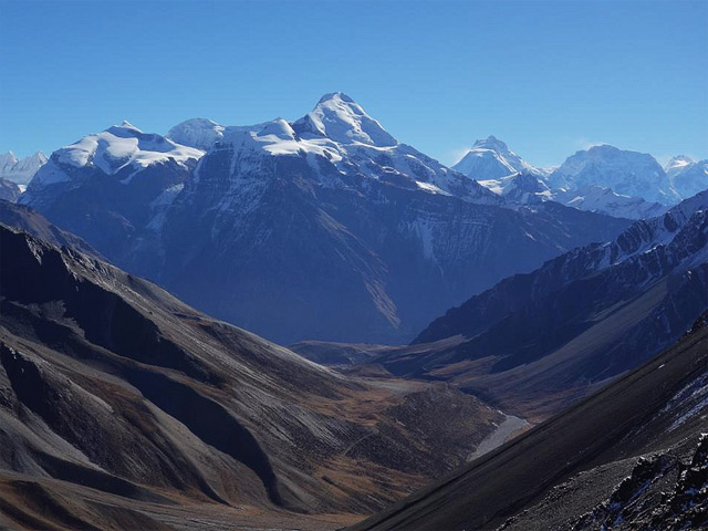
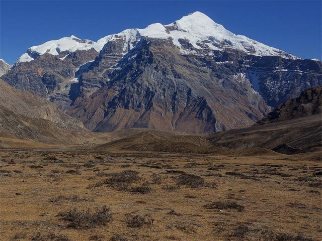
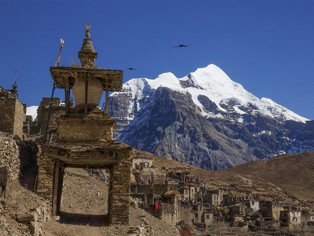
Kang Guru is a mountain in the Manang region of Nepal and the highest peak of the Larkya sub-range of the Nepalese Himalaya, at 6,981 m. The Larkya range lies north-west of the Mansiri Himal (which includes Manaslu) and north-east of the Annapurnas, and the peak rises above the Nar-Phu valley and the Marsyangdi valley, two of the most remote parts of the Annapurna Conservation Area.
The mountain is rarely climbed, and its high, glaciated flanks are seen mainly from afar. Trekkers on the Annapurna Circuit pass beneath its southern slopes near Manang and Ngawal, and the view of its summit from the viewpoint above Braga village is memorable. The Nar-Phu trek, a side route from Koto, passes along its northern side and offers a very different experience from the busy main trail, with Tibetan-style villages, deep gorges and few trekkers.
A climb of Kang Guru is a serious expedition, and permits must be arranged through a registered agency. The approach goes through Nar village, and the route involves glacier travel and technical snow slopes. The best seasons are spring and autumn, and winter is very cold and snowy. Anyone planning to trek in the area should plan acclimatisation days at Manang, where the Himalayan Rescue Association post gives daily talks on altitude sickness.
Image From Flickr: steynard
Featured Adventure

Quick Answers about Kang Guru
What is the elevation of Kang Guru?
Kang Guru is at an elevation of 6,981 m / 22,904 ft.
Where is Kang Guru located?
Kang Guru is located at latitude 28.657500, longitude 84.301389.

