




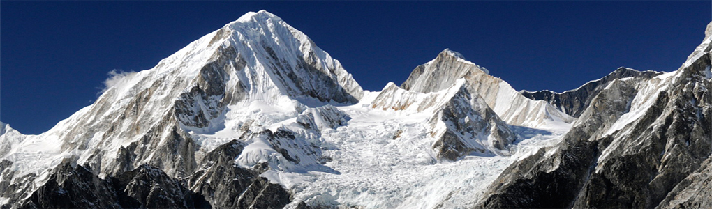
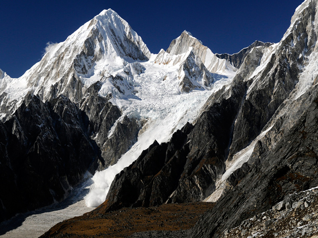
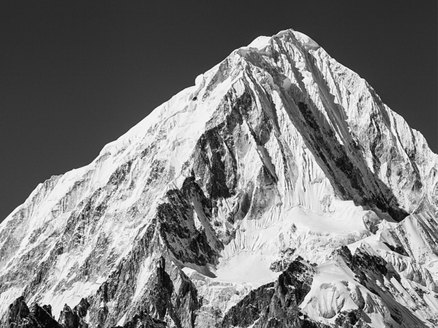
Nemjung is a mountain in the Nepal Himalaya, about 150 km north-west of Kathmandu and some 25 km north-west of the 8,000 m peak Manaslu. Its summit is at 7,140 m (23,425 ft). A Japanese team made the first ascent in 1983. A British expedition attempted it in 1994 and a French team in 2009. On 30 October 2009 a Japanese team led by Osamu Tanabe reached the top by a previously unclimbed route up the west face and west ridge.
The mountain stands in the Nar-Phu area, part of the restricted Manaslu and Annapurna region near the Tibetan border. The remote Nar-Phu valley, reached from Koto on the Annapurna Circuit, gives trekkers views of Nemjung and its neighbours, with old Tibetan villages and gompas along the route. The trek takes about 10 days and requires a special permit, because the area is a restricted zone.
Climbers seldom visit the mountain, and few details are available about conditions, so it is a candidate for experienced teams seeking quiet objectives. The best seasons are spring and autumn, and the weather in the Nar-Phu is cold and dry. Altitude is a concern even on the trek, as the passes (Kang La, 5,320 m) are high, so build in extra days for acclimatisation.
Featured Adventure

Quick Answers about Nemjung
What is the elevation of Nemjung?
Nemjung is at an elevation of 7,140 m / 23,430 ft.
Where is Nemjung located?
Nemjung is located at latitude 28.735000, longitude 84.416667.

