




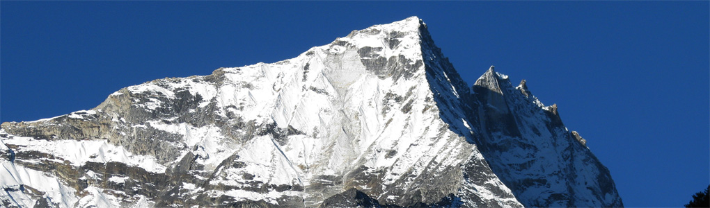
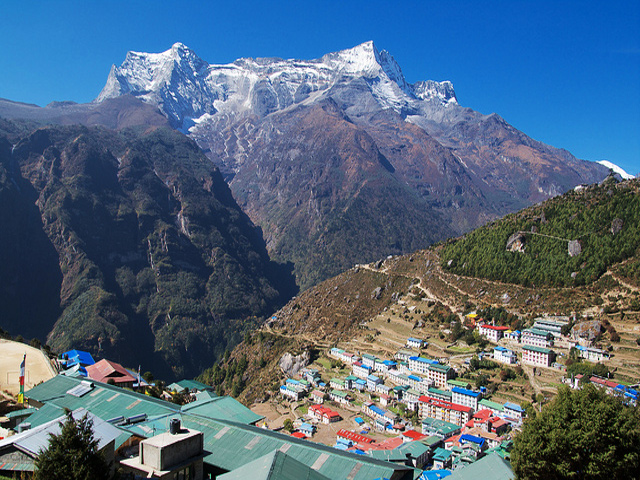
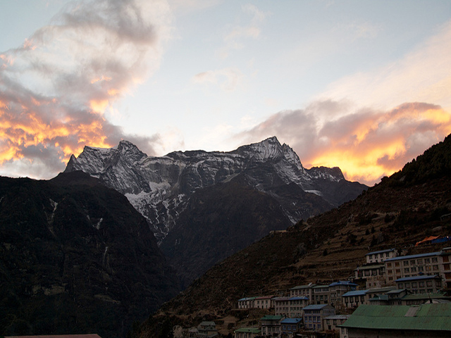
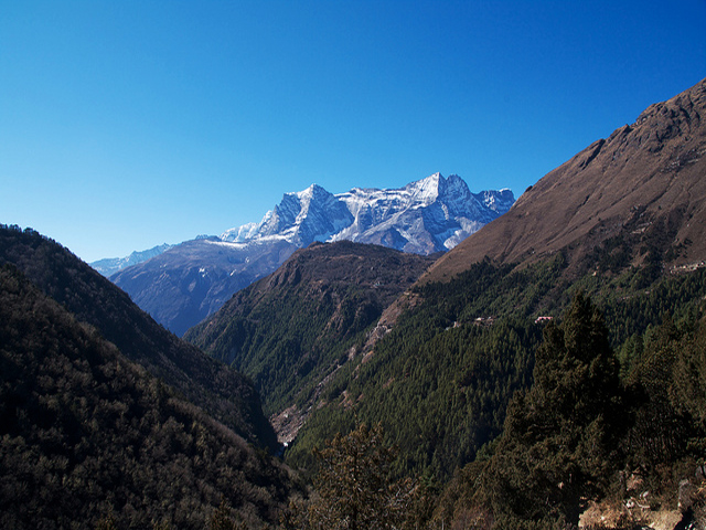
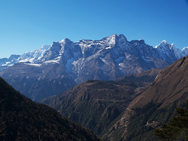
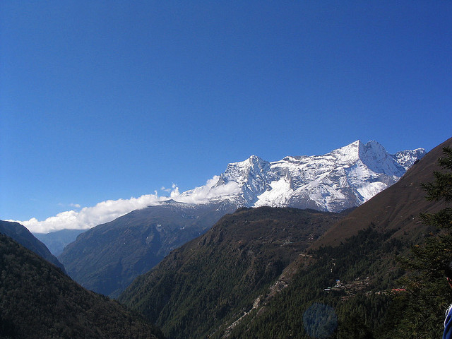
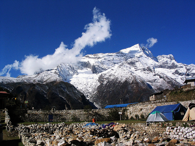
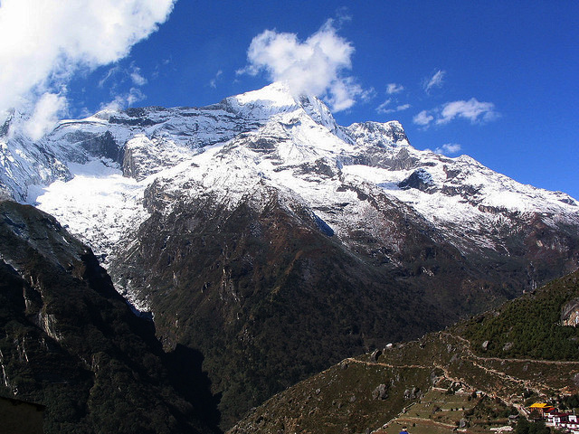
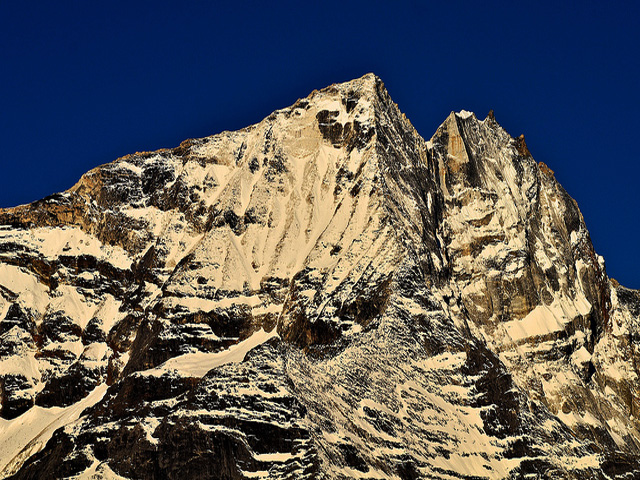
Kongde Ri, sometimes spelt Kwangde Ri, rises in eastern Nepal 4 km west of Namche Bazaar. The peak, at about 6,187 m, forms part of the Kongde Himal and dominates the western skyline of the Namche area. Officially it is a trekking peak, yet it counts among the harder ones to climb, with steep snow and ice on the final section.
For most Everest trekkers, Kongde Ri is a familiar sight on the walk to Namche, standing above the Dudh Kosi on the western side. The Kongde valley, with the village of Thame, is reached by a path from Namche Bazaar that leads to quiet Sherpa settlements and the village where Tenzing Norgay grew up. Thame has a monastery and a museum, and the walk there is a good acclimatisation excursion.
Climbers need a permit from the Nepal Mountaineering Association and should have experience of glacier travel and steep snow. The approach goes through the Thame valley, with a high camp on the glacier. The best seasons are spring and autumn. Even if you do not climb it, the peak makes a spectacular backdrop for a day trip from Namche, particularly in the early morning when the sun lights its summit.
Image From Flickr: Robert Nunn , Sam Judson , Erikjohansson , Arjayempee
Featured Adventure

Quick Answers about Kongde Ri
What is the elevation of Kongde Ri?
Kongde Ri is at an elevation of 6,187 m / 20,299 ft.
Where is Kongde Ri located?
Kongde Ri is located at latitude 27.800000, longitude 86.616667.
What is Kongde Ri also known as?
Kongde Ri is also known as Kwangde.

