




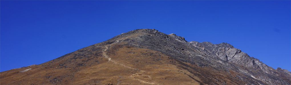
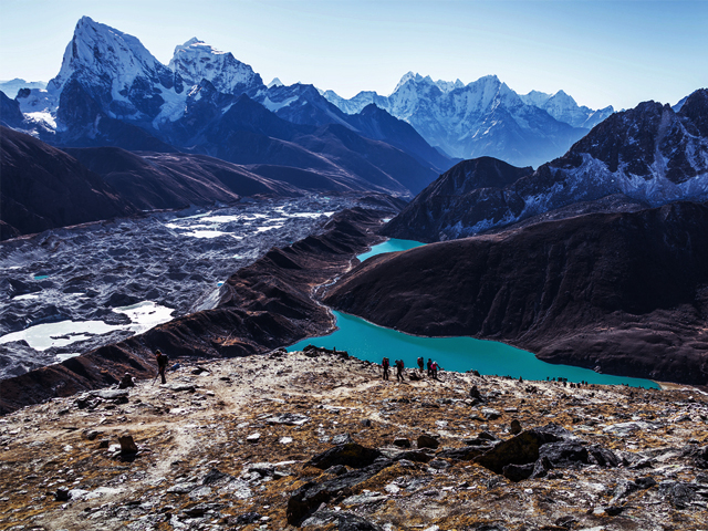
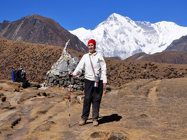
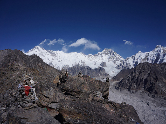
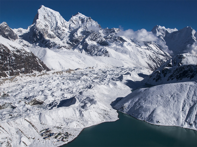
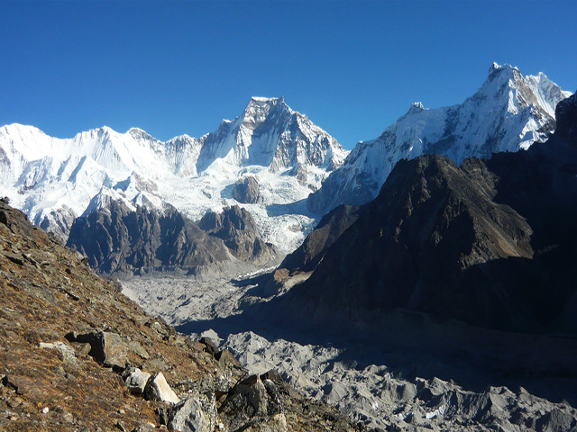
Gokyo Ri, also called Gokyo Peak (5,357 m, 17,575 ft), is a viewpoint peak in the Khumbu region of the Nepal Himalaya, on the west side of the Ngozumpa glacier, the largest in Nepal and reputed to be the largest in the entire Himalaya. At its foot lies Gokyo (4,750 m), a hamlet of a few stone houses and one of the highest settlements in the world, beside the third of the Gokyo Lakes, a chain of turquoise lakes fed by glacial meltwater.
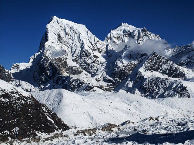
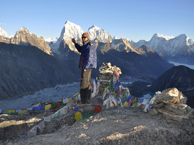
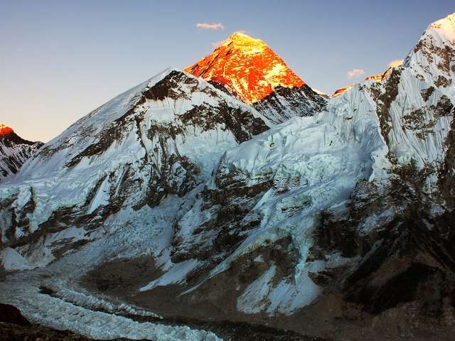
From the top you can see four 8,000 m peaks: Everest, Lhotse, Makalu and Cho Oyu. The panorama stretches across the Ngozumpa glacier, with Cho Oyu close at hand and Everest rising beyond the ridge of Nuptse. Many trekkers consider the view better than that from Kala Patthar, because it includes more peaks and fewer crowds. The climb takes about two to three hours from Gokyo, a steady uphill walk on a clear path, best done at sunrise.
The Gokyo trek is a fairly popular route, which ends at Gokyo Ri; trekkers usually turn round there and retrace their steps, or cross the Cho La pass to join the Everest Base Camp trail. The standard trek takes about 12 to 14 days from Lukla. The best seasons are October to November and March to May. Warm layers are essential, as temperatures at Gokyo drop below freezing at night, even in the main seasons.
Image From Flickr: Hendrik Terbeck, NepalGateway Trekking, Kasia Trapszo, nelicia
Featured Adventure
Quick Answers about Gokyo Ri
What is the elevation of Gokyo Ri?
Gokyo Ri is at an elevation of 5,357 m / 17,575 ft.
Where is Gokyo Ri located?
Gokyo Ri is located at latitude 27.961111, longitude 86.683333.
What is Gokyo Ri also known as?
Gokyo Ri is also known as Gokyo Peak.

