




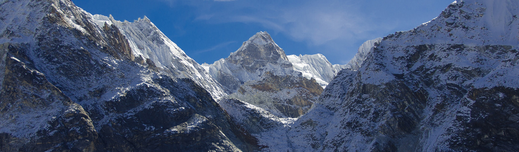
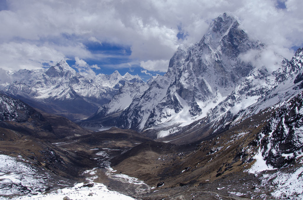
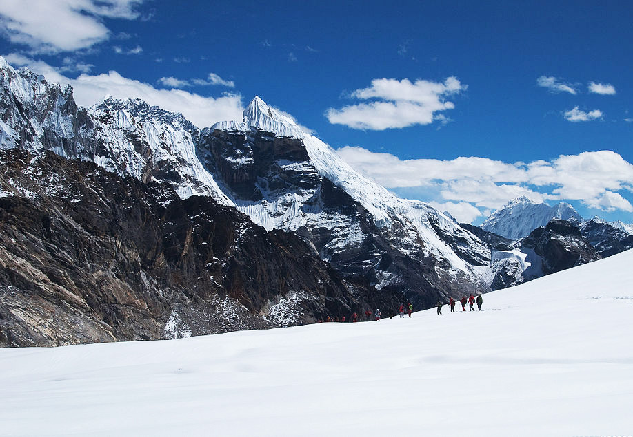
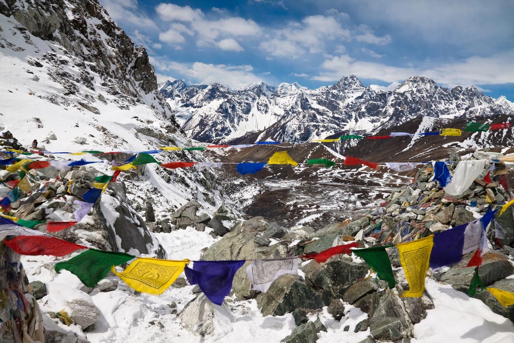
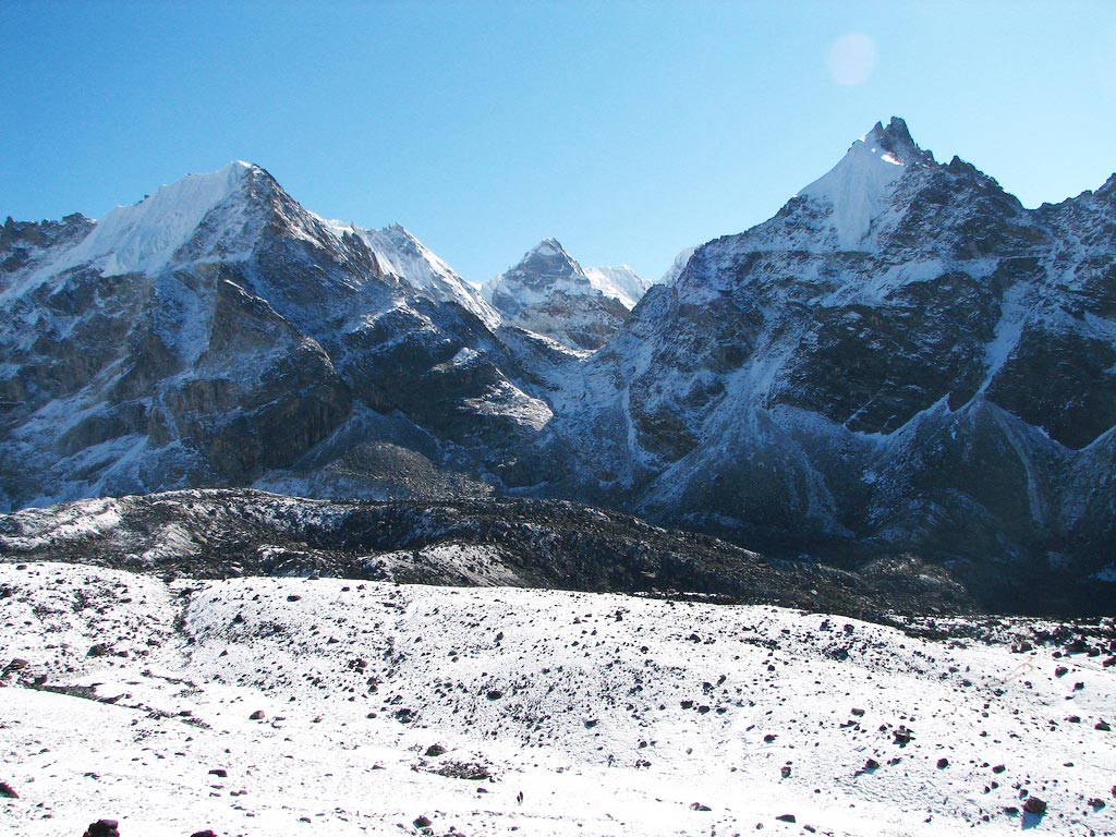
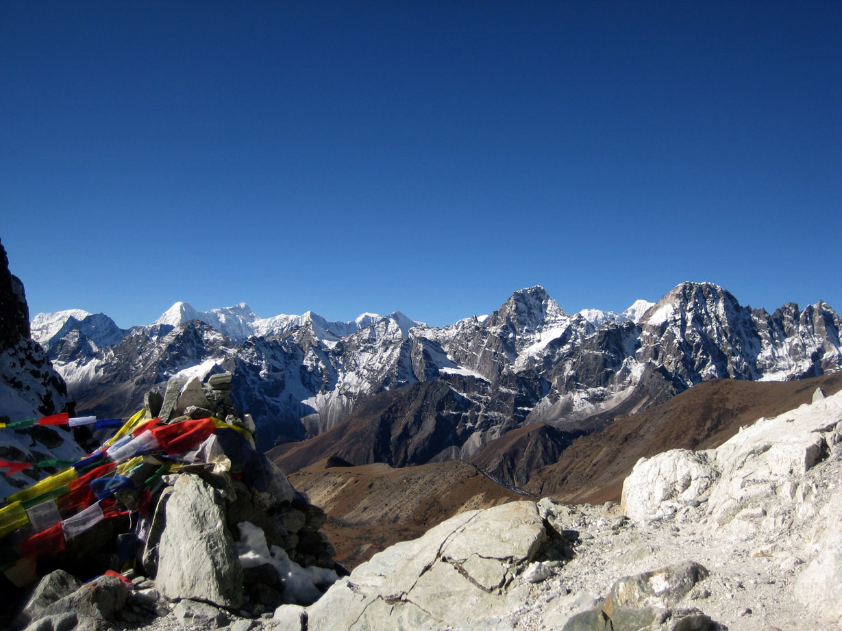
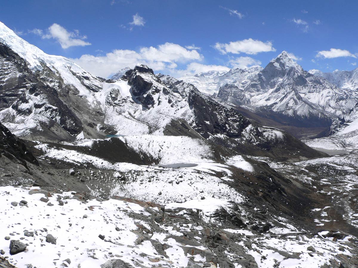
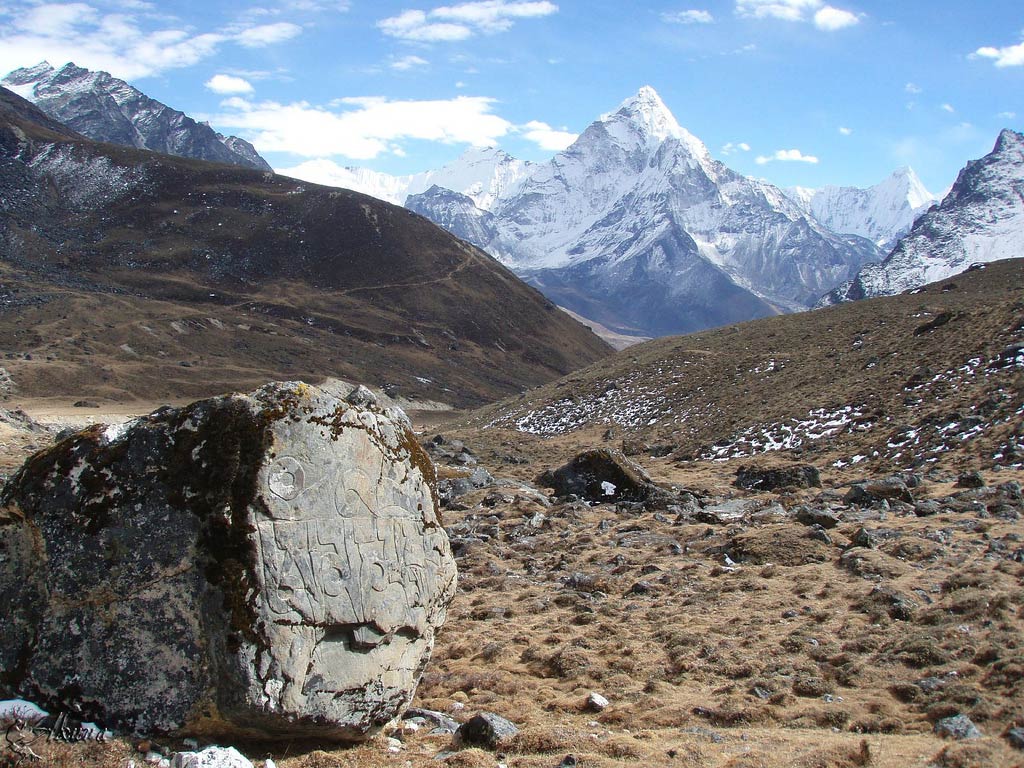
Cho La is a high pass at 5,420 m (17,782 ft) in the Solukhumbu district of north-east Nepal. It joins Dzongla (4,830 m) on the east side with Thagnak (4,700 m) on the west, and forms a link on the Gokyo trail, one of the more demanding trekking routes of the Everest region. On the western side the route runs on to the Gokyo Lakes by way of the Ngozumpa glacier, and on the eastern side it joins the Everest Base Camp trek.
The crossing is tiring and can need crampons on a slippery glacier, whose edge is unstable. The ascent from Dzongla is a steep scramble over boulders, followed by a short stretch across a glacier. The descent on the Thagnak side involves loose rock and a rough stretch across the glacier edge, and hikers should take care with each step. Most guides advise starting early, before the afternoon wind and cloud.
Cho La is one of the three passes of the Three Passes trek, along with Kongma La and Renjo La. Crossing it gives a circuit around the Everest region without retracing steps, combining Gokyo with Everest Base Camp. The pass can be dangerous after fresh snow or in poor visibility, and the right equipment includes microspikes or crampons, a trekking pole and warm layers. The best seasons are spring and autumn.
Image From Flickr: Detlef Rook, McKay Savage, Franck Zecchin, Mahatma4711, Akunamatata
Featured Adventure

Quick Answers about Cho La Pass
What is the elevation of Cho La Pass?
Cho La Pass is at an elevation of 5,420 m / 17,782 ft.
Where is Cho La Pass located?
Cho La Pass is located at latitude 27.961546917113, longitude 86.751492251562.

