




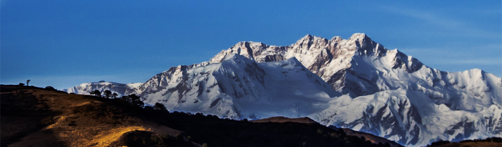
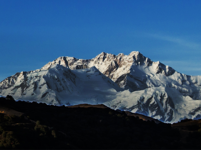
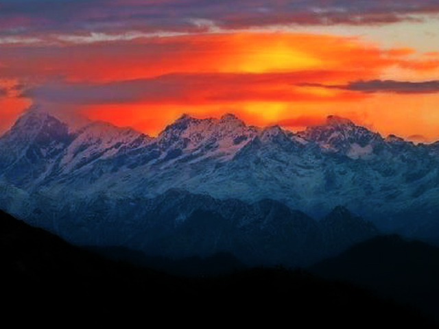
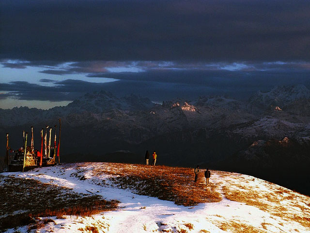
Phalut, also spelled Falut (3,600 m), is the second highest peak in West Bengal, India. It belongs to the Singalila Ridge of the Himalaya, on the border of the Indian states of West Bengal and Sikkim and of Nepal, inside Singalila National Park. A small bunkhouse run by the Indian army stands near the top, and Singalila Pass is 17 km away.
The ridge trek from Manebhanjan through Sandakphu to Phalut is one of the best-known walks in eastern India, and it offers views of four of the five highest mountains in the world: Everest, Kangchenjunga, Lhotse and Makalu. The walk follows the Nepal-India border, with the trail passing through rhododendron and magnolia forest, with red pandas and Himalayan black bears in the park. In April and May the rhododendrons bloom in shades of red, pink and white.
A typical trek takes five to six days, and stays are in simple trekkers' huts and village lodges. Because the route is a border area, foreign visitors need a permit and must be accompanied by a registered guide, according to park rules. The best seasons for clear mountain views are October to December and March to May, and the monsoon months bring heavy rain and fog.
Image From Flickr : Bappaditya Dasgupta : - Image 1 , Image 2 , Mahmud Farooque
Featured Adventure

Quick Answers about Phalut
What is the elevation of Phalut?
Phalut is at an elevation of 3,600 m / 11,811 ft.
Where is Phalut located?
Phalut is located at latitude 27.171111, longitude 88.02.
What is Phalut also known as?
Phalut is also known as Falut.

