Almost every trekker walks the Annapurna Circuit anticlockwise, from Besisahar through Manang over Thorong La to Muktinath. There are good reasons for that, and they are not just tradition. This page explains them, and when the reverse direction makes sense.
Altitude gain is gradual
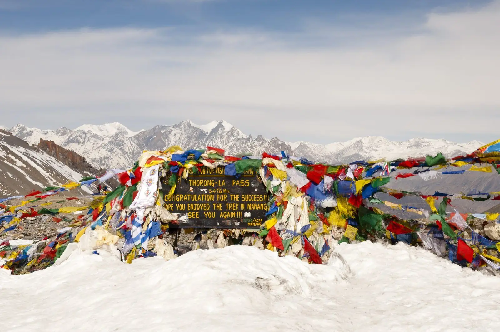
Anticlockwise, you gain altitude over a week or more before the pass: Besisahar at about 760 m, Manang at about 3,540 m, then High Camp at about 4,880 m. That is a slow, steady climb that gives your body time to adapt. Clockwise, you start at Nayapul or Jomsom side, climb to Muktinath in a few days, then face a steep climb to Thorong La from the east. The pass is reached with less acclimatisation, and most of the ascent happens in one hard day.
The Thorong La climb is shorter from the west
From Thorong Phedi or High Camp, the ascent to the pass is around 600 to 1,000 m. From Muktinath, the ascent is about 1,700 m. That is a much longer, harder uphill, particularly in cold, windy morning conditions. The descent from the pass to Muktinath, about 1,700 m, is steep but shorter in time than the equivalent climb.
Weather and wind
The Kali Gandaki valley is famous for strong afternoon winds that blow up the valley from the south. Anticlockwise, you walk down the valley, often with the wind behind you in the afternoon. Clockwise, you walk into it. Starting early reduces the effect, but the standard direction is easier.
Services, lodges and flow of trekkers
Lodges are set up to support the anticlockwise flow: most trekkers arrive at Manang, rest, then go to Yak Kharka, Thorong Phedi and the pass. That means meals, beds and information are well organised in that direction. Going clockwise, you will meet trekkers heading toward you on narrow trails, and some lodges may not expect arrivals in your order.
When clockwise might make sense
- If you are already acclimatised from another trek or from living high, and want to use Muktinath as a pilgrimage focus.
- If you plan to finish at Manang or Besisahar and want a particular flight or road connection.
- If seasonal road conditions or landslides force a change.
Even then, discuss it with a guide. The altitude arithmetic still applies.
Half circuits and partial routes
Many trekkers do not walk the full loop. Common options include starting at Chame or Manang by jeep and walking to Jomsom; or starting at Jomsom and going up to Muktinath and back. These all follow the logic of gradual altitude. For a plan that fits your time, see how many days to allow.
A quick decision table
- First time, average fitness: anticlockwise.
- Experienced high-altitude trekker with limited time: anticlockwise, with a jeep to Chame.
- Pilgrim focused on Muktinath: fly to Jomsom, visit Muktinath and return the same way, no pass.
- Short on time, no pass: Kali Gandaki valley walk or Poon Hill instead.
Reversing for local reasons
Occasionally guides recommend a partial reverse route in post-monsoon years when landslides have affected the Marsyangdi side. Treat such decisions as route-specific, and ask the guide to explain the acclimatisation plan before agreeing.
Common questions
Which direction is safer on the Annapurna Circuit?
Anticlockwise is safer for most trekkers, because altitude gain is gradual and the pass climb is shorter from the west side.
Can I go clockwise?
It is possible but not recommended unless you are well acclimatised and have a good reason. The climb to Thorong La from Muktinath is long and steep.
Does direction affect the weather?
Yes, mainly through the afternoon wind in the Kali Gandaki valley, which is easier with the wind at your back in the standard direction.
What our guests say
Excerpts from trekker reviews on our reviews page.
“Our guide, Mr. Garba Rai, was incredibly helpful, fun, and supportive throughout the journey.”