The Circuit is easiest to understand as a sequence of landscapes. This guide walks through the main stages in order, from the lowland start to the final descent, with approximate altitudes and a few things worth noticing in each. Use it alongside our shorter itinerary page when you plan. Altitudes are approximate and can differ between maps.
Besisahar to Jagat (about 760 m to 1,300 m)
Timings depend on your pace and the weather, and heights vary a little by source, so treat them as a guide.
The classic start is Besisahar, the district headquarters of Lamjung. The first days follow the Marsyangdi river through rice terraces, subtropical forest and Gurung and Brahmin villages. Waterfalls and suspension bridges punctuate the trail. This section is warm, humid and green, and the road runs alongside it, so many trekkers drive part of it.
Jagat to Dharapani (about 1,300 m to 1,960 m)
Past Jagat the valley narrows and the forest changes. You pass the Tal area, a flat river plain, and Dharapani, a junction where the Manaslu Circuit comes in from the east. Hindu influences begin to give way to Buddhist ones: chorten and mani walls appear.
Dharapani to Chame (about 1,960 m to 2,710 m)
Pine forest and apple orchards mark this stage. Views of Manaslu and Annapurna II appear on clear days. Chame, the headquarters of Manang district, has a hot spring, shops and a bakery or two, and is the point from which many trekkers begin if they drive the lower section.
Chame to Pisang (about 2,710 m to 3,200 m)
The valley deepens, and the vegetation thins. A large curved rock face called the Paungda Danda rises above the trail, a famous landmark. Pisang is divided into lower and upper villages; upper Pisang has a higher position, better views and a monastery.
Pisang to Manang (about 3,200 m to 3,540 m)
There are two routes: the lower road through Humde and Mugje, or the higher trail through Ghyaru and Ngawal. The higher trail offers views of Annapurna II, III and IV and Gangapurna, and is better for acclimatisation. Manang itself has shops, bakeries, a health post and a rest-day culture. See our Manang guides for details.
Manang to Thorong Phedi or High Camp (about 3,540 m to 4,450 or 4,880 m)
From Manang the trail climbs through Yak Kharka (about 4,000 m) and Letdar to Thorong Phedi, and then on to High Camp. Lodges here are basic, nights are cold, and appetite often drops. Many trekkers sleep at High Camp to shorten the pass day, but the extra altitude raises the risk. Keep the ascent gradual.
Thorong La and Muktinath (about 5,416 m and 3,710 m)
The pass day is long: up to 5,416 m, then a steep descent of over 1,600 m to Muktinath. This is the highlight and the hardest day. For a full guide, see crossing Thorong La. Muktinath is a pilgrimage site sacred to Hindus and Buddhists; see Muktinath on the Annapurna route.
Kagbeni, Jomsom and Marpha (about 2,800 m to 2,670 m)
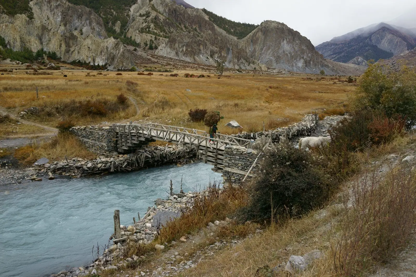
The Kali Gandaki valley is dry, windy and dramatic. Kagbeni is a medieval-looking village at the gateway to Upper Mustang. Jomsom has the airport and administrative offices. Marpha is famous for apple orchards and apple brandy and is one of the most pleasant stops. See Lower Mustang guides for more.
Kalopani to Tatopani and beyond (about 2,500 m to 1,190 m)
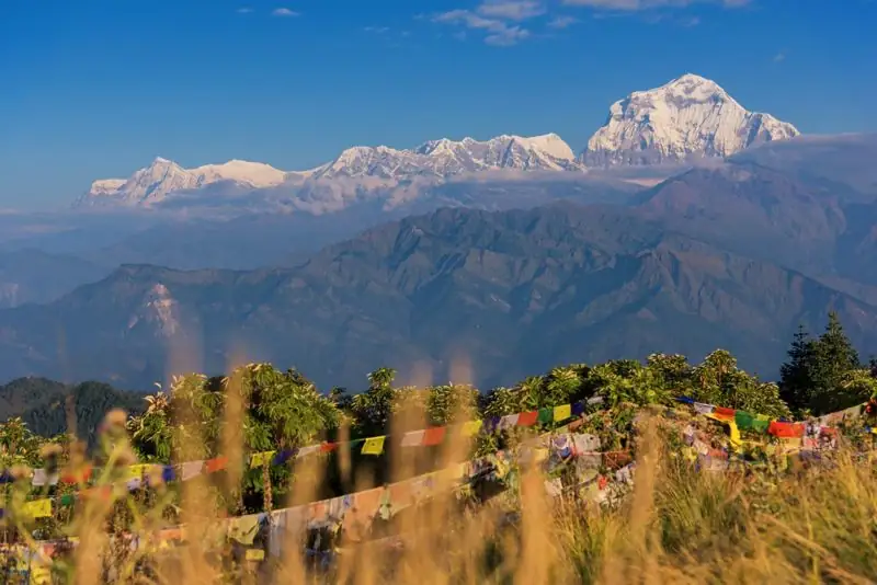
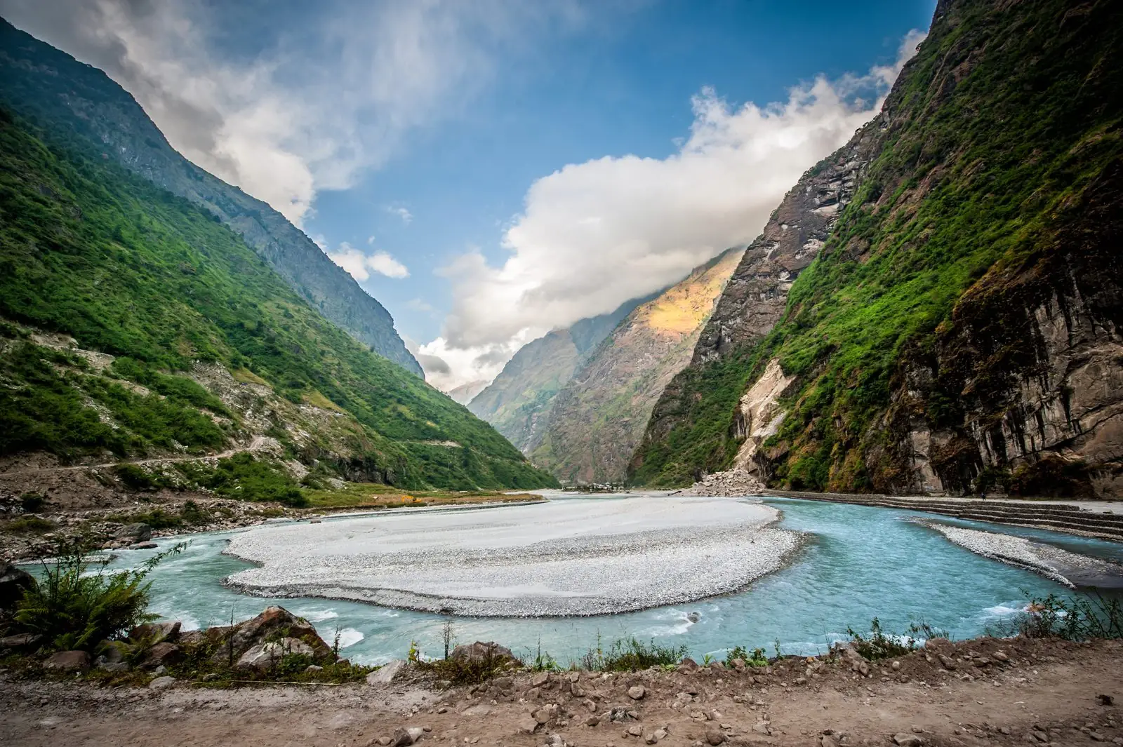
Below Kalopani the valley turns green again. Tatopani has hot springs that soothe tired legs. From there, most trekkers either drive to Pokhara or continue to Ghorepani and Poon Hill on foot. The Poon Hill option adds a day or two but gives a classic sunrise view of Dhaulagiri and Annapurna.
Common questions
Where does the Annapurna Circuit start and end?
The classic route starts at Besisahar and ends at Nayapul or Pokhara, but road access means many itineraries start at Chame or Manang and finish at Jomsom or Tatopani.
Where should I stay in Manang?
Most trekkers stay one or two nights for acclimatisation. Choose a lodge with a heated dining room and book through your guide in peak weeks.
Is Tatopani worth visiting?
Yes. The hot springs are a welcome reward after the pass, and it is an easy base for onward travel to Pokhara or Ghorepani.
What our guests say
Excerpts from trekker reviews on our reviews page.
“One of the greatest experiences of my life was made so much enjoyable by this team!”