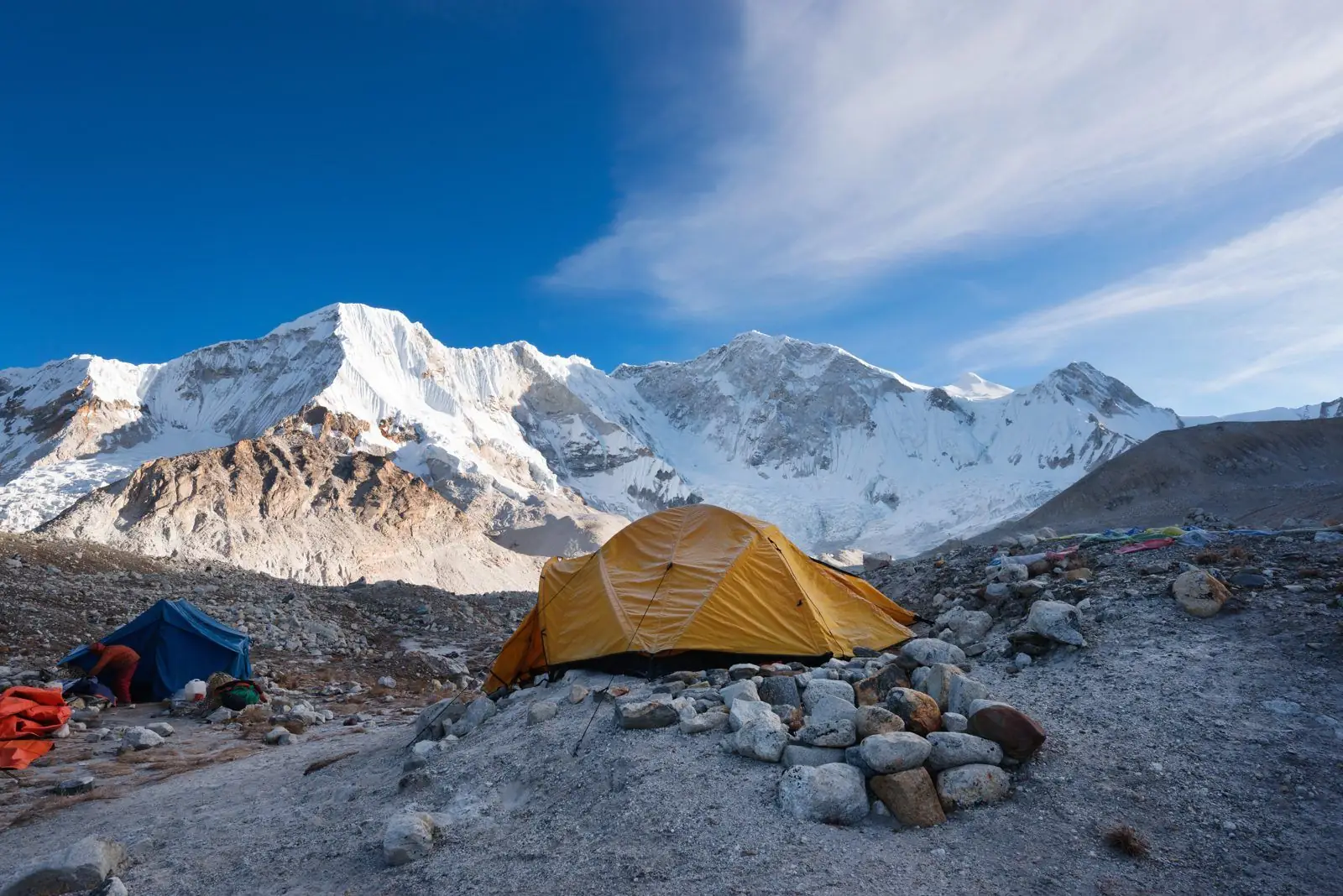
A typical Kanchenjunga north base camp trek takes about 20 days: two travel days east, around 14 days of walking up and down the Ghunsa valley, and spare days for weather and rest. Pangpema, at about 5,140 m, is the high point.
Getting started
Fly from Kathmandu to Bhadrapur in the south-east, then drive to Taplejung, often with a night on the way. Some trips use a flight to the small airstrip at Suketar near Taplejung when weather and schedules allow. Roads here are rough, so plan a full day for the drive.
Into the valley
From Taplejung the trail drops to the river and follows it north. A usual pattern is Sekathum, Amjilosa and Gyabla, with nights between about 1,200 m and 2,700 m. These first days are warm, humid and full of ups and downs. They are good for getting fit, but they are longer than they look on the map.
Ghunsa and rest
Ghunsa village, at about 3,595 m, is the main stop before the high section. Most itineraries spend two nights here, with a short acclimatisation walk on the rest day. This is the last proper village on the north route.
Up to Pangpema
From Ghunsa the route climbs through Khambachen, around 4,050 m, and then Lhonak, around 4,780 m, before the final day to Pangpema at about 5,140 m. Many groups spend a night at Lhonak and walk to Pangpema and back in a long day, because the sleeping altitude stays lower.
The return
The return follows the same valley, and it is faster than the way up because you are walking downhill with a warm body and good acclimatisation. You can go back in about six to seven days, depending on weather and how hard you push.
Spare days and why they matter
Build in at least two spare days. Flights east can be delayed, rivers can rise, and a day of poor weather near Lhonak can make a summit-side walk unsafe. Spare days cost little compared with missing the view.
Typical walking times
Expect five to eight hours of walking on most days, with the longest on the way up from Ghunsa and on the final day to Pangpema if you do it as a day trip from Lhonak. Starting early keeps you ahead of afternoon cloud and wind.
Plan it
Read permits and how to get there, the best time to go and how hard it is.