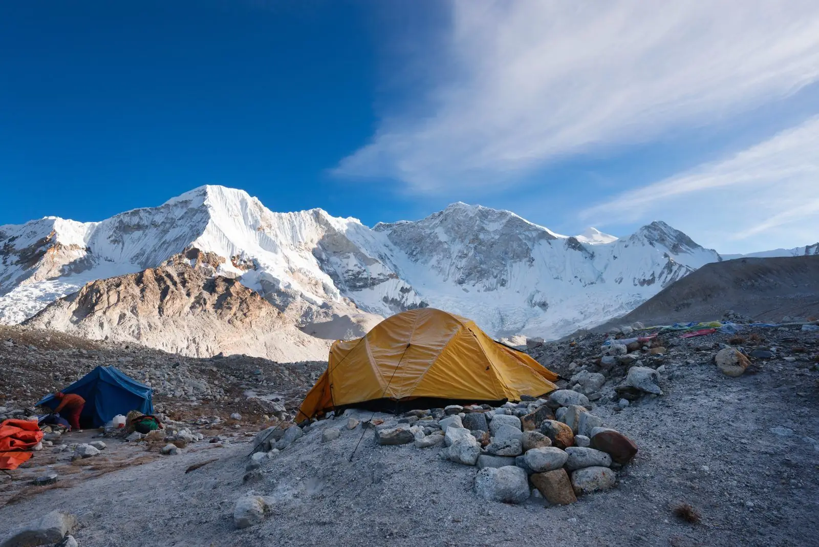
Choose the north side if you want the classic Kanchenjunga trek, with the huge north face from Pangpema at about 5,140 m. Choose the south side if you want a shorter, steeper route with views from a ridge at about 4,700 m. Doing both is a four-week journey.
North base camp
The north route follows the Ghunsa valley through Ghunsa village and Khambachen to Lhonak and then Pangpema. It is the more popular side, because the approach is gradual and the north face of the mountain is directly in front of you at the end. Pangpema is about 5,140 m, so this side also takes you higher.
South base camp
The south route runs through the Yalung valley and ends near Oktang, a viewpoint at about 4,700 m above the Yalung Glacier. From there you look across at the southwest face of the mountain. The trail crosses a series of ridges, so the route goes up and down a lot, and that adds up to a hard trip.
Views compared
The north face is wider, higher and more dramatic. The south side shows the mountain over a glacier and often with clearer light early in the day. If you can only do one, most guides recommend the north, because it feels closer and is easier to plan around weather.
Crowds and lodges
Both sides are quiet. Lodges have been opening on parts of the lower route in recent years, but the high sections are still mostly camping. Plan for tents in the upper valleys and check the current lodge situation when you book.
Doing both sides
A full circuit uses a high pass between the two valleys, with options at about 4,660 m and about 5,160 m. This is a serious route for fit, experienced trekkers with four weeks to spare, extra food and a guide who knows the passes.
A simple way to decide
If you can only choose one side, choose north for the bigger view and the higher destination. Choose south if you have less time, like steep ridge walking and want a different angle on the mountain. If you are unsure, tell us your dates and fitness and we will suggest a side.
What changes the plan
Weather, rest days and group speed all change the schedule. The south route has more ups and downs, so it feels longer than its map distance. The north route has fewer ups and downs, but the final days are higher, so acclimatisation matters more there.
Plan it
See the north base camp itinerary, the best time to go and how hard the trek is.