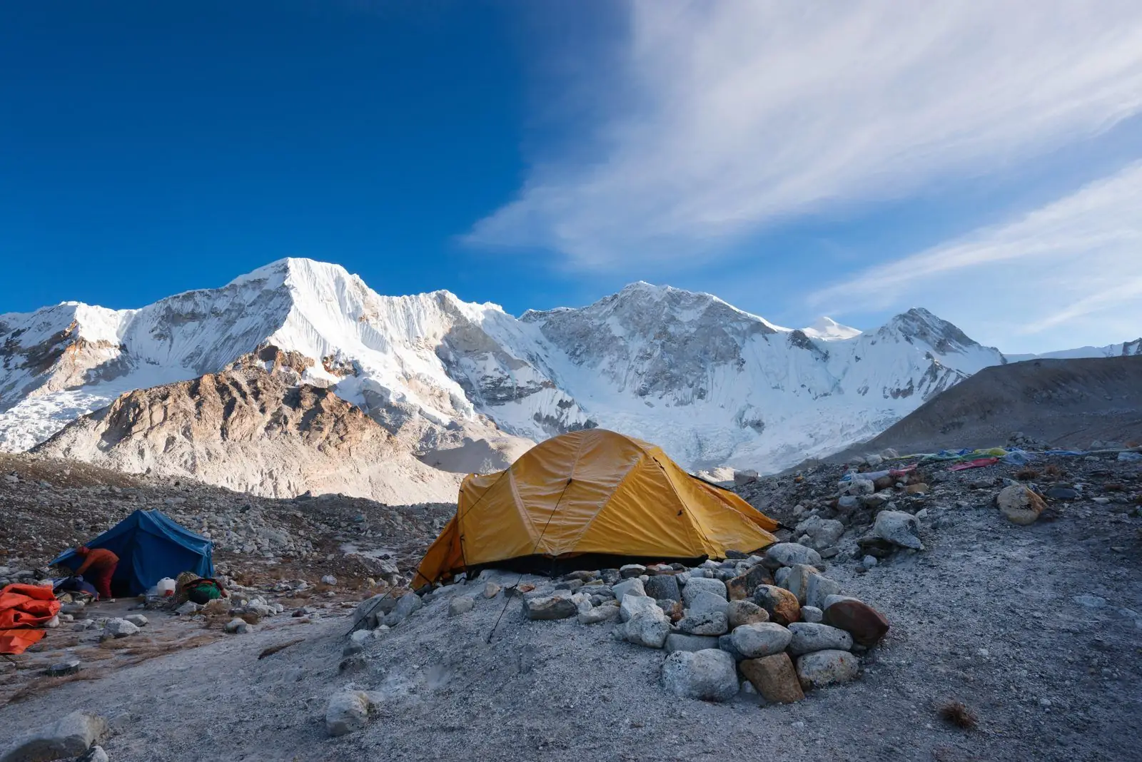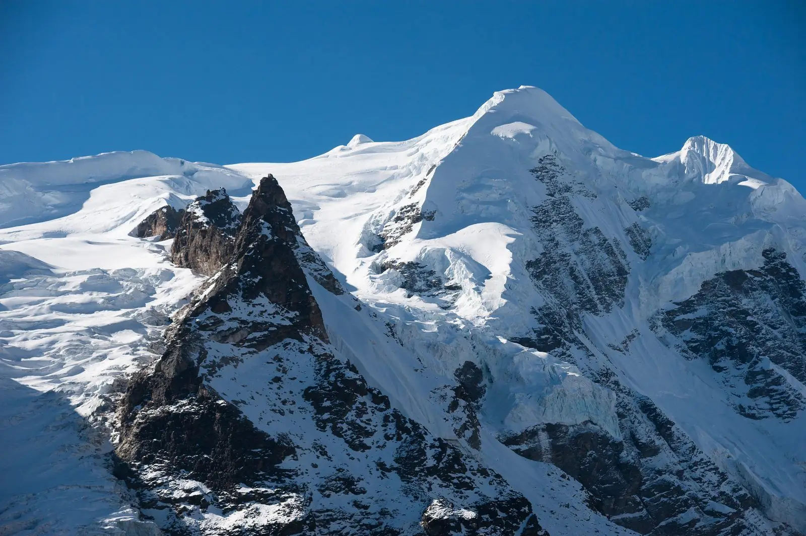
Kanchenjunga, also spelled Kangchenjunga, stands on the border between the Indian state of Sikkim and Taplejung district in eastern Nepal. It is 8,586 m high, the third highest mountain in the world and the highest in India. The nearest large towns are Gangtok and Darjeeling in India and Taplejung in Nepal.
The answer in one line
Country: India and Nepal, on the border. Indian state: Sikkim. Nepali district: Taplejung, in Koshi Province. Range: the eastern Himalaya, in the section called the Kanchenjunga Himal. Height: 8,586 m (28,169 ft).
Kanchenjunga kahan hai? (in Hindi)
Many people search for this in Hindi, so here is the short answer.
कंचनजंगा भारत के सिक्किम राज्य और नेपाल के ताप्लेजुंग ज़िले की सीमा पर स्थित है। इसकी ऊँचाई 8,586 मीटर है। यह दुनिया की तीसरी सबसे ऊँची चोटी है और भारत की सबसे ऊँची चोटी है। यह पूर्वी हिमालय में है, और दार्जिलिंग तथा गंगटोक से साफ़ दिखाई देती है।
In Roman letters: Kanchenjunga Bharat ke Sikkim rajya aur Nepal ke Taplejung zile ki seema par sthit hai. Iski unchai 8,586 metre hai.
Which state is Kanchenjunga in?
On the Indian side the mountain is in Sikkim. Its eastern slopes and glaciers lie inside Khangchendzonga National Park, a World Heritage Site that covers a large part of the state. The mountain is not in West Bengal, though it is famously seen from Darjeeling, which is in West Bengal, about 75 km to the south.
Which district of Nepal?
On the Nepali side it is in Taplejung district, in the far north-east corner of the country, inside the Kanchenjunga Conservation Area. The trekking routes to both the north base camp (Pangpema) and the south base camp (Oktang) are in Nepal. See the Kanchenjunga Base Camp trek.
Where on the map
The summit is at about 27.70 degrees north and 88.15 degrees east. It lies about 125 km east-south-east of Mount Everest as the crow flies. The border between India and Nepal runs along the main ridge, and the border with Tibet (China) is a short distance to the north, so three countries meet close to the mountain. Three of the five summits stand on the India and Nepal border, and the other two are in Nepal.
Is it the highest peak in India?
Yes. At 8,586 m Kanchenjunga is the highest mountain on Indian soil. K2 is higher, but it stands in territory that India claims and Pakistan administers. The highest mountain lying wholly inside India is Nanda Devi (7,816 m) in Uttarakhand. Until 1852 Kanchenjunga was thought to be the highest mountain in the world. See Kanchenjunga height and rank.
Where to see it from
- Darjeeling (West Bengal): the classic view, from Tiger Hill at sunrise and from the Mall.
- Gangtok, Pelling and Yuksom (Sikkim): closer views. The Goecha La trek from Yuksom reaches a viewpoint facing the south-east face.
- Sandakphu, on the India and Nepal border ridge: the whole massif, with Everest in the distance.
- Nepal: Pangpema, at about 5,140 m, and the Oktang viewpoint, at about 4,700 m, are the closest a walker can get. See how to see Kanchenjunga from Nepal.
How to reach the Kanchenjunga area
From India, travel to Bagdogra airport or New Jalpaiguri station near Siliguri, then go by road to Darjeeling (about three hours) or Gangtok (about four hours). For Nepal's base camps, fly from Kathmandu to Bhadrapur, drive to Taplejung and trek from there. The Kakarbhitta border crossing near Siliguri links the two sides by road. Foreign visitors need permits for Sikkim's restricted areas and a special permit for the Nepal trek; Indian citizens need the Nepal trek permits too.
Spellings you will see
Kanchenjunga, Kangchenjunga, Kanchanjunga, Kanchanjangha, Khangchendzonga and Kinchinjunga all refer to the same mountain. Kangchenjunga is the spelling used by many mapmakers, Khangchendzonga is the official form in Sikkim, and Kanchenjunga is the most common in everyday writing. The name comes from Tibetan and means "five treasures of the great snow". See the five summits and the name.
Rivers and glaciers of the mountain
Four main glaciers flow from the massif: the Zemu and Talung on the Sikkim side and the Yalung and Kanchenjunga glaciers on the Nepal side. The Zemu, about 26 km long, is the largest glacier in the eastern Himalaya. Meltwater on the Indian side feeds the Teesta river, which runs the length of Sikkim, and on the Nepal side it feeds the Tamor, a tributary of the Kosi.
Best time to see it
October and November give the clearest views from Darjeeling, Sikkim and Nepal alike. March to May is the second season, with rhododendrons in flower and a little more haze. From June to September the monsoon is heavy in the eastern Himalaya, and the mountain is hidden in cloud for days at a time.
Common questions
Kanchenjunga is located in which state?
Sikkim, in India, on the border with Nepal.
Kanchenjunga is in which country?
Both India and Nepal. The main summit is on the border between Sikkim and Nepal's Taplejung district.
Is Kanchenjunga in Darjeeling?
No. It can be seen clearly from Darjeeling, but the mountain is about 75 km north of the town, on the Sikkim and Nepal border.
What is the height of Kanchenjunga?
8,586 m (28,169 ft). It is the third highest mountain in the world after Everest and K2.
Heights, dates, fees and rules are approximate and can change, so confirm the current details with us before you book.