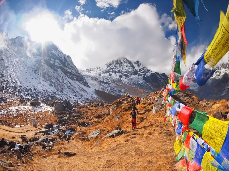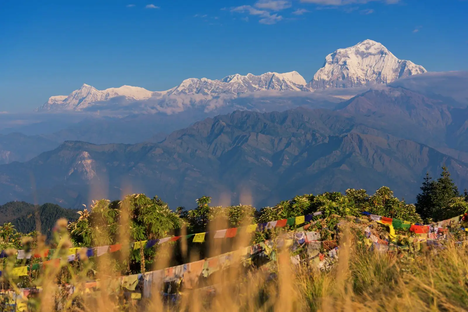
Boghara is a village at about 2,080 m on the lower Dhaulagiri Circuit. It lies between Muri, at about 1,800 m, and Dobang, at about 2,520 m, so it is a middle step in the lower valley as the route climbs toward the forest and the high camps.
Altitude: about 2,080 m. Heights quoted for villages and camps vary by source, so treat this as a guide.
Where Boghara is and why trekkers stop
Boghara is one of the lower valley stages listed in our Dhaulagiri plan, which runs from Beni through Babiyachaur, Dharapani, Muri, Boghara and Dobang. It follows the demanding climb to Muri, and for many groups it is where the trail finally eases into steady forest walking.
Trekkers stop here to break up the climb and keep sleeping altitude rising gradually. It is not a destination so much as a well placed night on a long approach.
What to expect at Boghara
Expect a small settlement or camping area with fields and forest nearby, and fewer houses than you saw lower down. The air feels cooler and fresher, and the sounds are mostly river and birds. Views of the surrounding ridges open up as you gain height.
Trails around here run through forest and along steep slopes, sometimes with landslide-prone sections. Mud and leeches can appear in the wet season. Timings vary with pace, season and trail conditions, so ask your guide about the day ahead each evening.
Altitude and how you may feel
At about 2,080 m the altitude is still modest and most people feel well. A slight shortness of breath on climbs can appear, but real symptoms of altitude illness are unusual. Sleeping altitude rises only slightly from Muri, which is helpful for adaptation.
Take it as a chance to build a good routine of water, food and rest. The Dhaulagiri Circuit gets much higher, and altitude illness can strike on later days. If symptoms worsen at any stage, descend and tell your guide immediately.
Lodging, food and practical tips
Lodging is basic and varies with the operator, often a simple lodge or tented camp, with hot meals prepared by the crew or local hosts. Bring a sleeping bag, rain jacket, insect protection and a headtorch, since power is limited and evenings come early in the forest.
Supplies are limited and facilities thin out as you climb, so carry cash and snacks. A licensed guide is wise for this remote route, and your operator will handle logistics such as permits and porters, as well as any changes to the plan.
Common questions
How high is Boghara?
Boghara is about 2,080 m, between Muri at about 1,800 m and Dobang at about 2,520 m. The sleeping altitude rises only a little from the previous stop, which is gentle on the body.
Is Boghara a hard day?
The day to Boghara is easier than the climb to Muri. The trail runs through forest with steady climbing, though mud, heat or rain can slow you. Timings vary with pace and trail conditions.
Will I see mountains from Boghara?
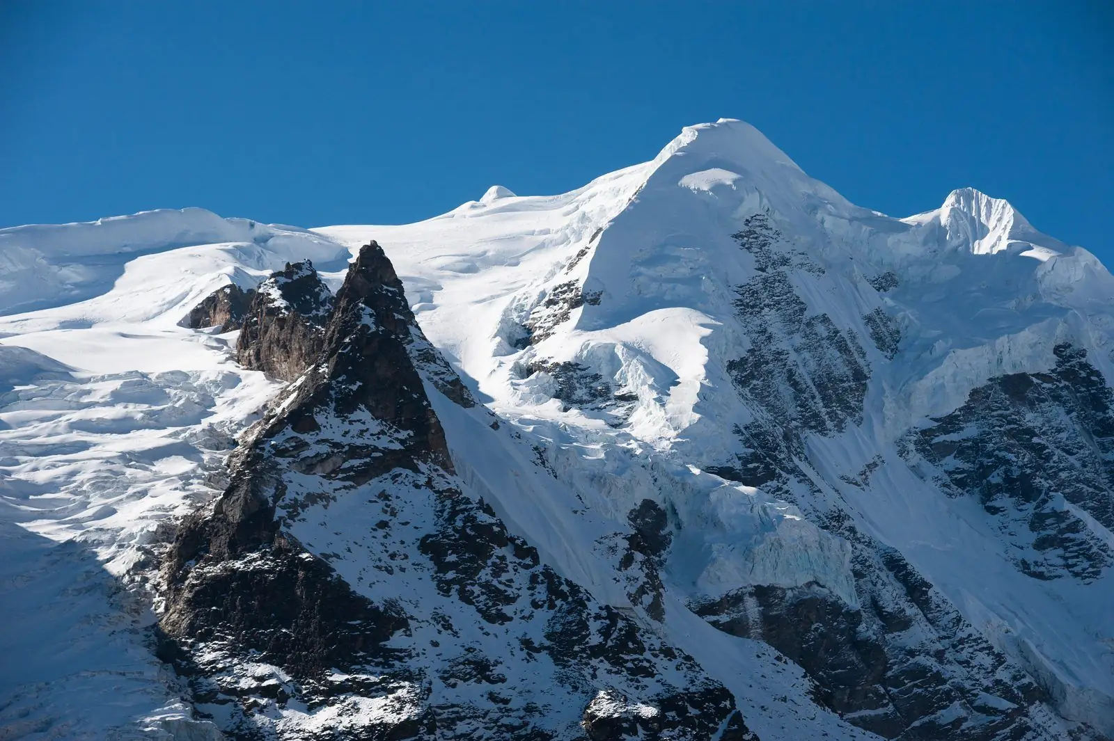
Mostly forested ridges and valley views. The big Dhaulagiri peaks come later as you gain height and leave the trees behind, so do not expect the full mountain panorama at this stop.