Pangpema is the north base camp of Kanchenjunga in far east Nepal, at about 5,140 m. It is the high point of the north trek and the goal that most groups walk toward for more than a week, usually from Lhonak in one long day.
Altitude: about 5,140 m. Heights quoted for villages and camps vary by source, so treat this as a guide.
Where Pangpema is and why trekkers come
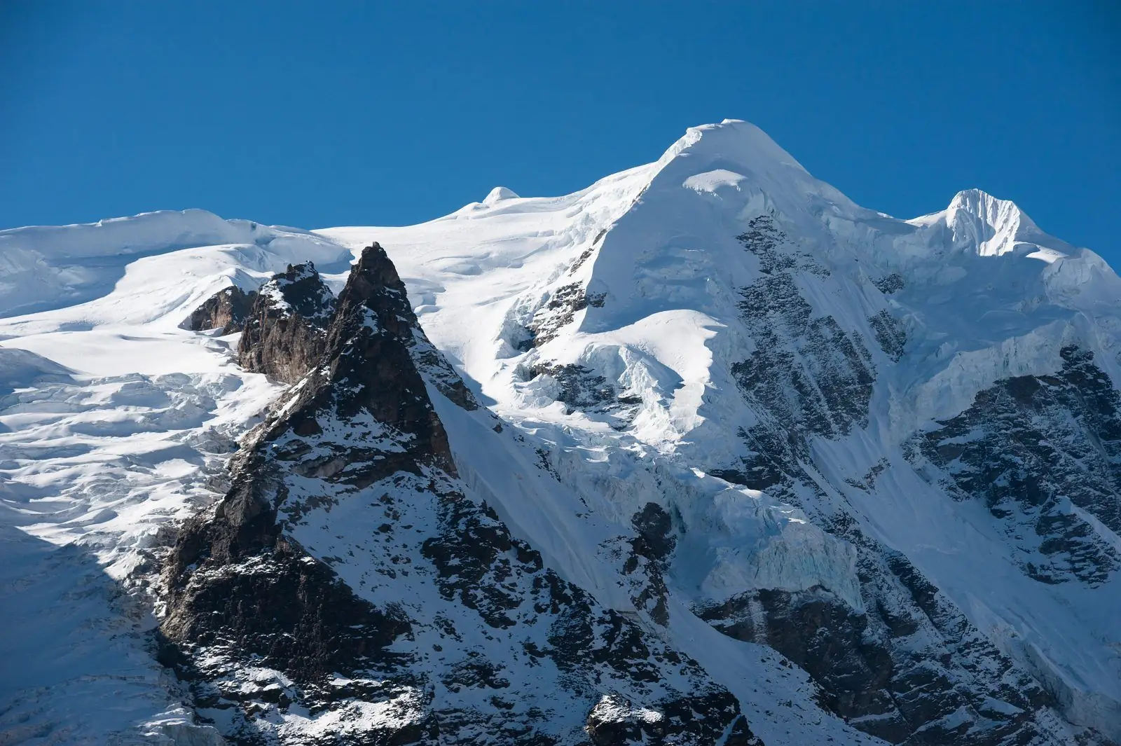
Pangpema lies at the head of the Ghunsa valley, beyond Khambachen and Lhonak, in front of the massive north face of Kanchenjunga. Our guides call it the high point of the north route. Many groups sleep at Lhonak and walk to Pangpema and back in a long day, because the sleeping altitude stays lower, though itineraries differ.
Kanchenjunga needs a restricted area permit and a licensed guide arranged through a registered agency.
What the arrival is like
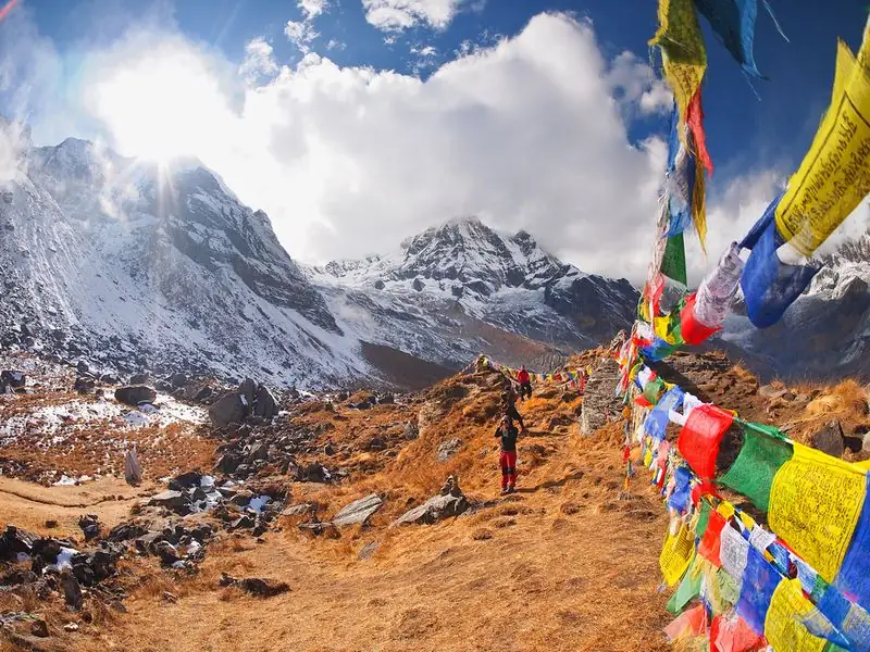
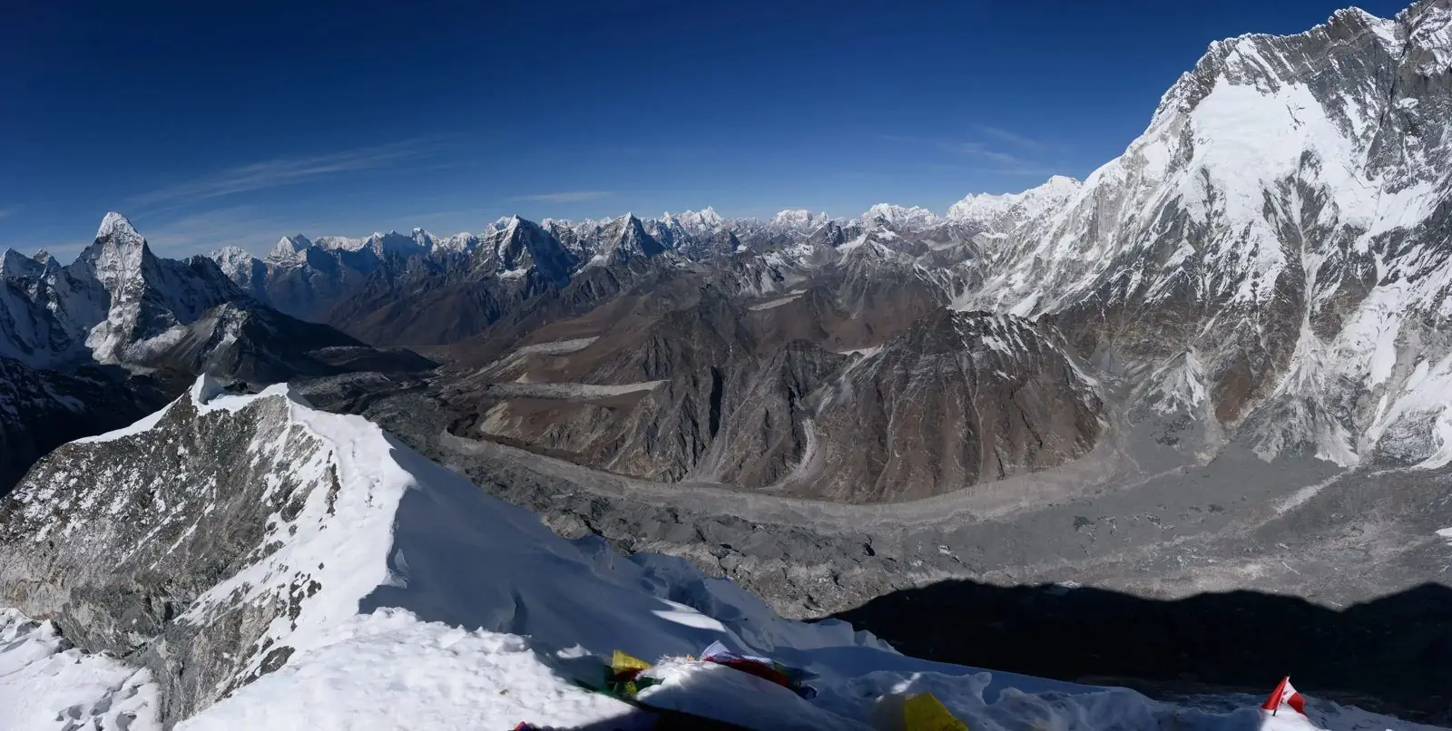
Expect a cold, open moraine plateau with huge mountains rising on all sides, rock, ice and wind. There is little vegetation, and cloud can wipe out the view within minutes. Most visitors stay for a short time, take photos, eat a packed lunch and head back. Our notes suggest five to eight hours of walking on most days, with the final day the longest if done as a day trip. Weather decides everything.
Altitude and how you may feel
At about 5,140 m, this is the highest point of the north trek, and the effects are strong. Many people feel breathless, tired and lightheaded, and some get headaches or nausea. Move slowly, drink often and keep your stay short. Altitude illness can become serious here, so tell your guide at once if you feel worse. If symptoms increase, descend immediately, because that is the main treatment and it should never be delayed.
Lodging, food and practical tips
Most visitors do not stay overnight at Pangpema, and facilities are minimal, so sleep at Lhonak and carry a packed lunch, plenty of water and snacks. Bring a warm insulated jacket, hat, gloves, sunglasses, sun cream and a headlamp for the early start. Nights at Lhonak and Pangpema can drop well below freezing. Keep a spare day in the plan, since a day of poor weather can make the walk unsafe.
Common questions
How high is Pangpema?
Our guides give Pangpema at about 5,140 m, the high point of the north Kanchenjunga route. It is higher than Lhonak at about 4,780 m and the south side's Oktang at about 4,700 m.
Can I sleep at Pangpema?
Most groups sleep at Lhonak and walk up and back in a long day, because the sleeping altitude is lower there. Overnight stays at Pangpema are not typical and depend on the itinerary.
Do I need a permit and guide for Pangpema?
Yes. Kanchenjunga is a restricted area, so you need a restricted area permit and must travel with a licensed guide through a registered agency. Independent trekking is not permitted.