Renjo La is a high pass at about 5,360 m in the Everest Region. It lies between the Thame valley and the Gokyo Lakes, and it is the first crossing on the usual Three Passes route, which is normally walked from Namche through Thame before turning toward Gokyo.
Altitude: about 5,360 m. Heights quoted for villages and camps vary by source, so treat this as a guide.
Where Renjo La is and why trekkers cross it
Renjo La stands on the ridge that separates the Thame valley from the Gokyo valley. The most common Three Passes plan goes from Namche to Thame, crosses Renjo La to Gokyo, then Cho La to Dzongla and Lobuche, before finishing with Kongma La. Crossing here gives access to the lakes from the west and avoids walking the same valley twice, which many trekkers like for the variety. Ask at your lodge about recent conditions before you commit to the next stage.
What the crossing is like
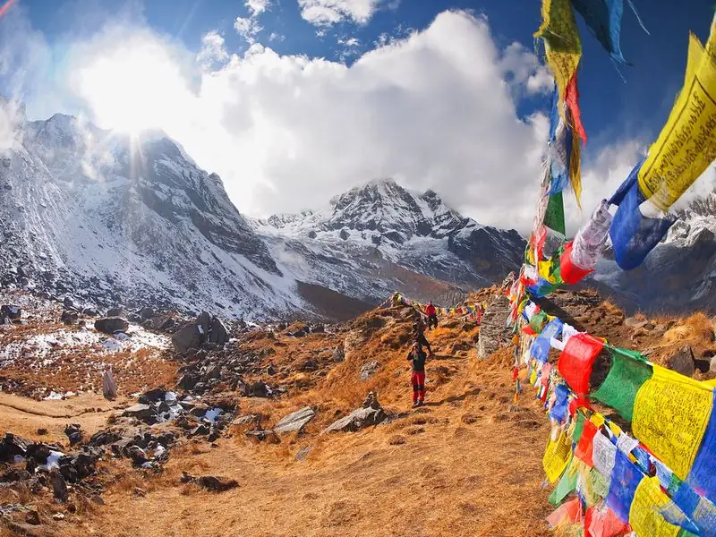
The path climbs steadily on stony ground to the crest, which is marked with prayer flags. From the top, views stretch over the Gokyo lakes below and toward the high peaks of the Khumbu. The descent toward Gokyo is long and can be slippery after snow. Timing varies with pace and trail conditions, but it is a full day, so start early. Early or late in the season, ice and snow on the approach are common.
Altitude and how you may feel
Renjo La is about 5,360 m, which is high enough to slow almost everyone down. Shortness of breath and a dull headache are normal, but worsening symptoms are not. If you feel confused, very unsteady or severely unwell, descend and tell your guide. Good acclimatisation before the pass, with steady nights in the Thame area and slow progress, matters more than strength on the day.
Gear, food and practical tips
Microspikes or crampons are recommended for Renjo La, especially early or late in the season, along with warm layers, gloves, sun protection and boots with good grip. There are no shops on the pass, so carry lunch, snacks and water from your lodge. A guide who knows the route helps with route finding after fresh snow. Keep a spare day in the plan in case wind or weather makes the crossing unsafe.
Common questions
How high is Renjo La?
Renjo La is about 5,360 m, the lowest of the three Three Passes crossings. Cho La is about 5,420 m and Kongma La about 5,535 m, though all three need good acclimatisation.
Which way do I cross Renjo La?
The most common plan is from Thame over Renjo La to Gokyo, then onward to Cho La. The route can be reversed, but starting with Renjo La is popular for gradual acclimatisation.
Do I need crampons for Renjo La?
Microspikes or crampons are recommended, especially early or late in the season when ice and snow are more likely. In dry mid season conditions the trail can be clear, but carrying them is sensible.