




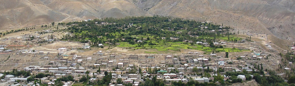
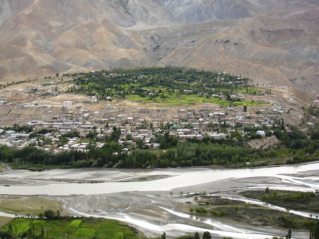
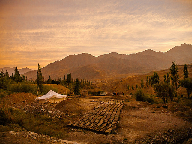
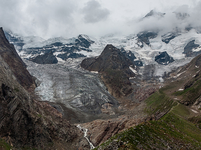
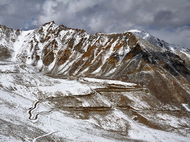
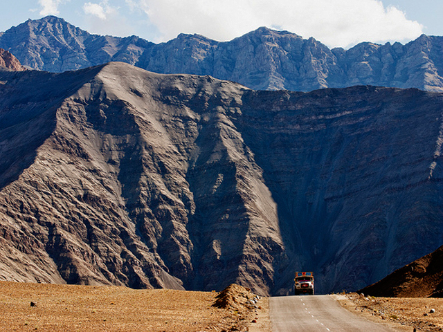
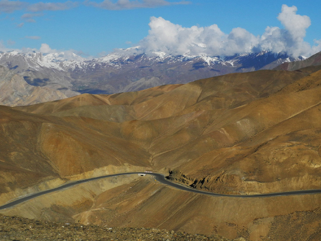
Kargil is the second largest town in Ladakh after Leh, and it is where most overland travellers from Kashmir first meet the Buddhist and Muslim cultures of the high Himalaya side by side. It stands at about 2,676 m (8,780 ft) on the banks of the Suru River, noticeably lower and greener than Leh, in a landscape of apricot trees, poplars and stony hills. The climate is temperate, with real winters and warm, dry summers.
The town sits at a crossroads. By road it lies 204 km from Srinagar, 60 km from Drass, 234 km from Leh, 240 km from Padum in Zanskar and 1,047 km from Delhi, and it has long served as the overnight stop for those driving the Srinagar-Leh highway. It is also the starting point for the road into Zanskar over the Pensi La, and for treks into the Suru valley and toward Nun Kun, the highest massif in this part of the range. Drass, close by, is famous as one of the coldest inhabited places in India.
A well-known all-weather road once connected Kargil with Skardu in Gilgit-Baltistan, but it has been closed since the 1948 Kashmir war. India has said it is ready to reopen the road as a humanitarian gesture, while Pakistan has so far declined. Travellers heading to Kargil should check security and road conditions locally, because the region lies close to the Line of Control, and plan to spend a night so as to break up the long drive between Srinagar and Leh.
Image From Flickr: Rajesh, Sandeepachetan, Amit Rawat, Prabhu B Doss, Sandeepachetan, Axel Drainville, Sandeepachetan, Preshit Deorukhkar
Featured Adventure

Quick Answers about Kargil
What is the elevation of Kargil?
Kargil is at an elevation of 2,676 m.
Where is Kargil located?
Kargil is in Jammu and Kashmir, Asia, at latitude 34.145397, longitude 77.567614.

