




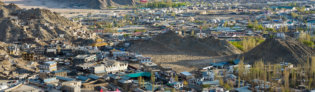
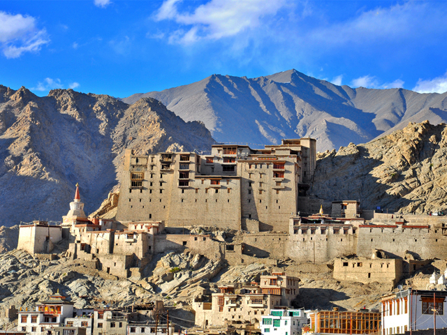
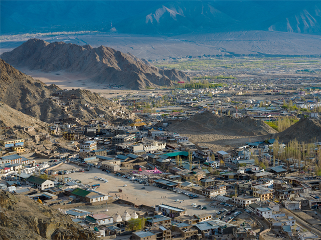
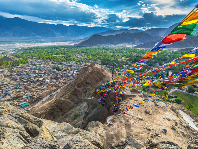
Leh, once the capital of the Himalayan kingdom of Ladakh, is now the main town of Leh district and the gateway to almost every journey in the region. The district covers 45,110 sq km, making it the second largest in India after Kutch in Gujarat, and it ranges from the Indus valley around the town to the Nubra, Pangong and Changthang. Above the old bazaar rise the ruins of Leh Palace, the former home of the Ladakhi royal family, built in the same style and about the same time as the Potala in Lhasa.
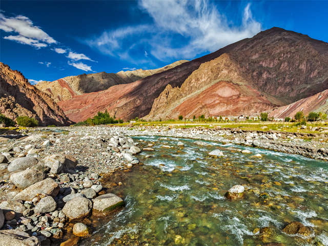
At 3,524 m (11,562 ft), Leh is high enough that acclimatisation is the first rule of a visit: spend at least two days resting, drinking water and walking gently before going higher. The town connects by National Highway 1D to Srinagar in the south-west and by the Leh-Manali Highway to Manali in the south, and both roads are open only for part of the year. A cloudburst in 2010 caused sudden and devastating floods in the area, a reminder of how fragile the landscape is.
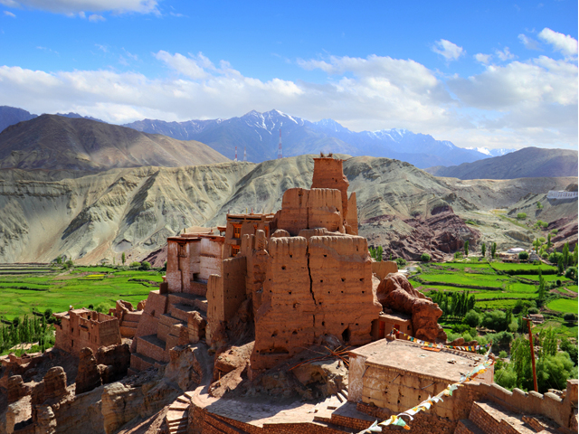
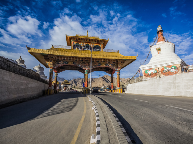
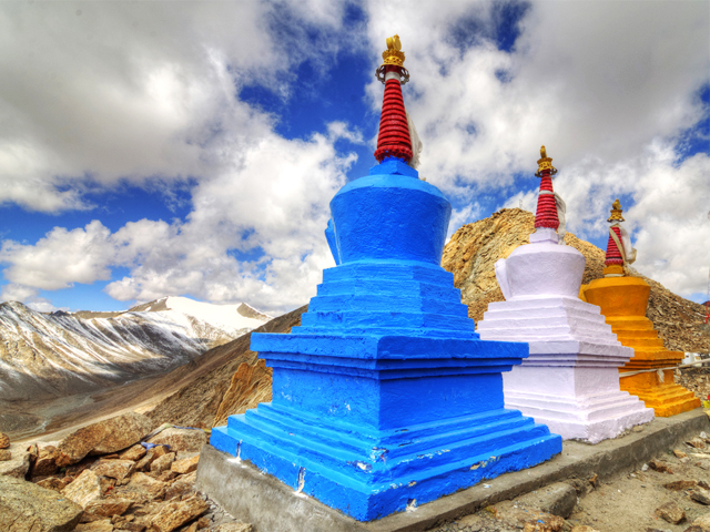
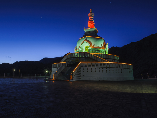
For centuries Leh was a major stopover on the trade routes through the Indus valley, linking Tibet in the east, Kashmir in the west and, further afield, India and China. Caravans carried salt, grain, pashm or cashmere wool, cannabis resin from the Tarim Basin, indigo, silk yarn and Banaras brocade. That history still shows in the mix of faces and flavours on Main Bazaar, and in the monasteries, stupas and old houses that surround the town.
Featured Adventure

Quick Answers about Leh
What is the elevation of Leh?
Leh is at an elevation of 3,500 m.
Where is Leh located?
Leh is in Jammu and Kashmir, Asia, at latitude 34.145397, longitude 77.567614.

