


Small deposit in India. Balance in Nepal.

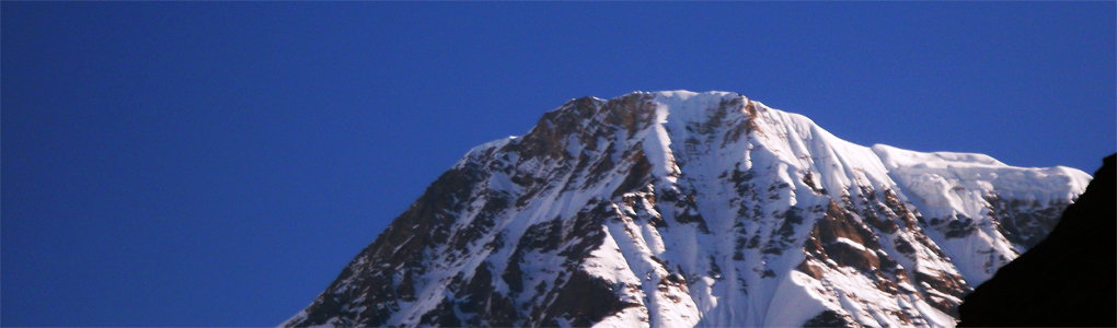
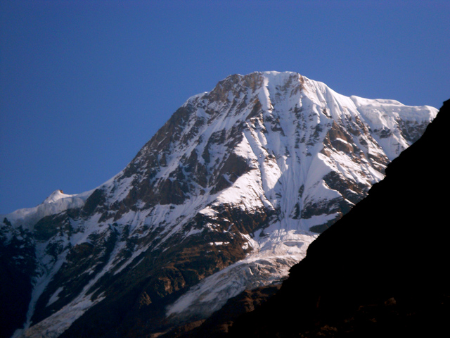
Changuch (6,322 m)
Peak Climbing Guide

Changuch (6,322 m)

Elevation: 6,322 m / 20,741 ft · Latitude: 30.290000 · Longitude: 80.040000

Changuch is a Himalayan mountain peak situated at the boundary of Pithoragarh and Bageshwar district of the Uttarakhand state of India. This peak is situated above the Pindari Glacier. This peak offers a ridge leading to Nanda Kot. On its massif Traill's pass is situated, which connects Pindari valley to Goriganga valley. The first successful ascent to the peak was made by an Indo-British team on June 9, 2009 at 9 am.

Featured Adventure
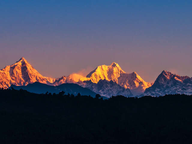
Kanchenjunga North and South 28 Day Trek
Rs. 280,000all-in

Quick Answers about Changuch

What is the elevation of Changuch?

Changuch is at an elevation of 6,322 m / 20,741 ft.

Where is Changuch located?

Changuch is located at latitude 30.290000, longitude 80.040000.
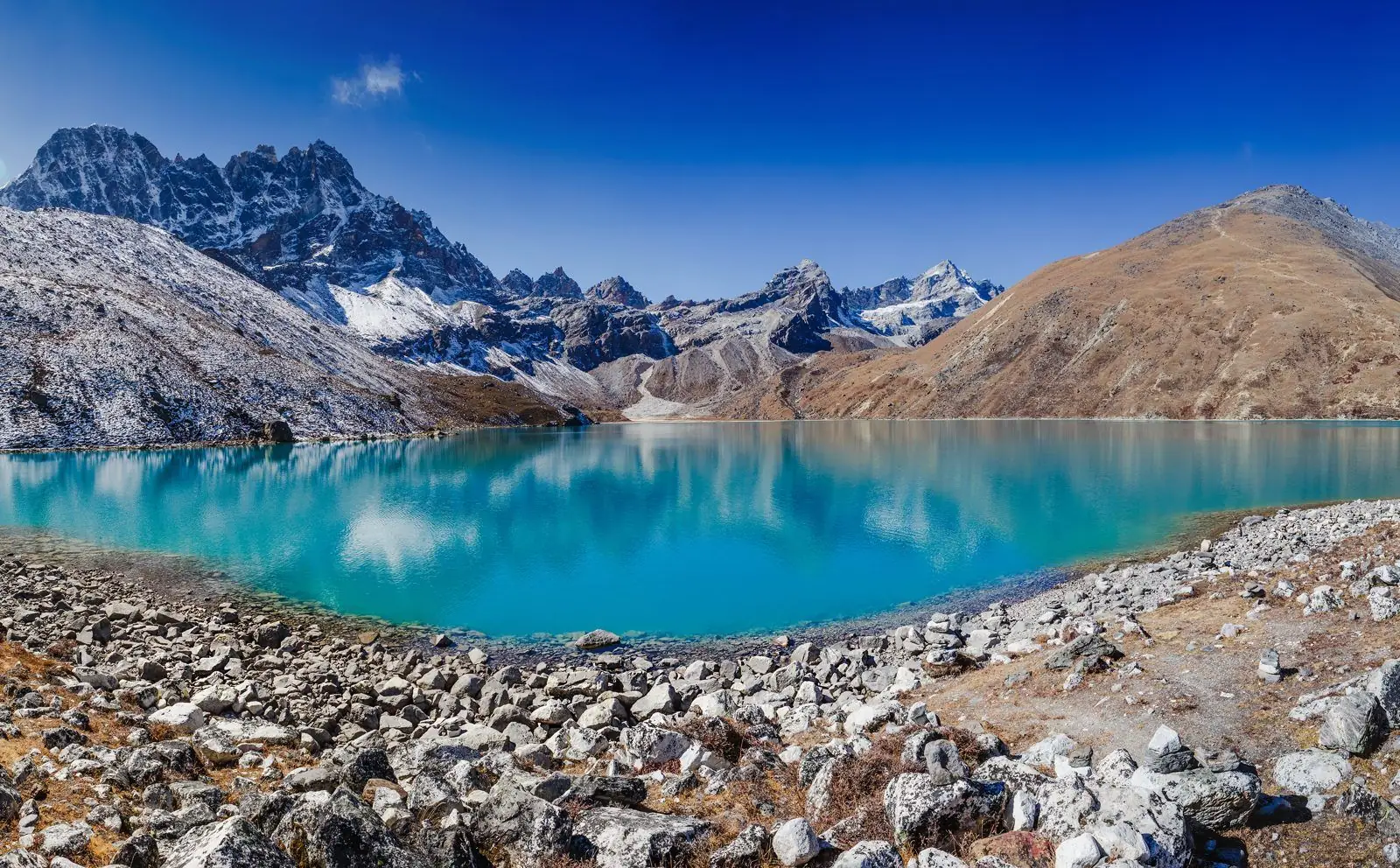
Trekkers above a turquoise glacial lake with snow peaks beyond
Free, no-obligation advice

Plan your trip with a trek expert

Talk to our team about Changuch (6,322 m). We handle permits, guides, lodging and logistics, and plan around your dates and fitness level.

  • Licensed guides and agency-issued TIMS
  • Permits and paperwork handled for you
  • Flexible dates and private departures

Get a free itinerary and price WhatsApp us Call +91 932 595 1234

Keep exploring
