






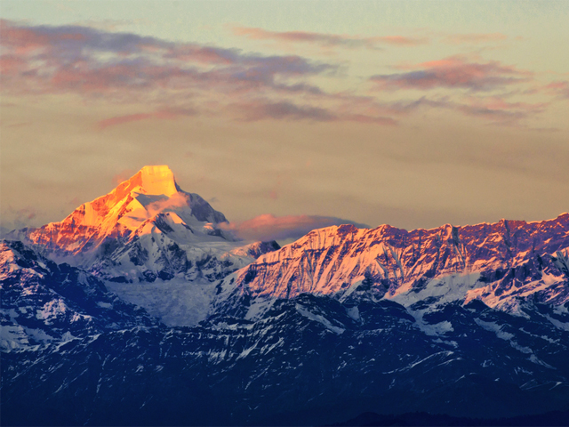

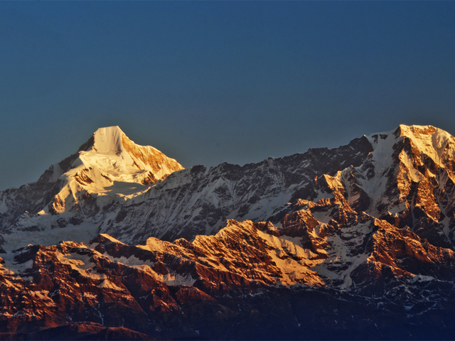
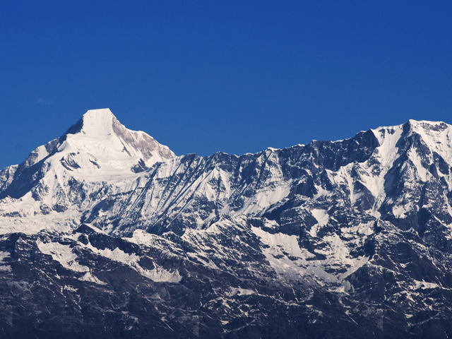
Nanda Kot is a Himalayan peak in the Pithoragarh district of Uttarakhand, India, 15 km south-east of Nanda Devi. It belongs to the Kumaon Himalaya and stands just outside the ring of peaks that encloses the Nanda Devi Sanctuary. The name means "Nanda's Fortress", and refers to the home of one of the sacred forms of the goddess Parvati, who in legend made her sanctuary among the lofty mountains of this region.
At 6,861 m, it is a striking pyramid, and from the Pindari Glacier trail it appears as a dazzling white tower above the valley. A high pass, the Pindari Kanda (5,269 m), links Nanda Kot to the Sanctuary wall. It was first climbed in 1936, and since then the peak has been a popular goal for climbers in Kumaon, though it demands a serious expedition.
Most trekkers experience Nanda Kot from the Pindari Glacier trek, a six-day route that starts at Song and passes through the villages of Khati and Dwali. From Zero Point, the view of Nanda Kot and Nanda Devi East is memorable. The best seasons are April to June and September to October, and the monsoon brings heavy rain to the Kumaon hills.
Featured Adventure
Quick Answers about Nanda Kot
What is the elevation of Nanda Kot?
Nanda Kot is at an elevation of 6,861 m / 22,510 ft.
Where is Nanda Kot located?
Nanda Kot is located at latitude 30.281667, longitude 80.068333.

