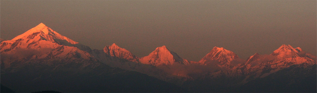
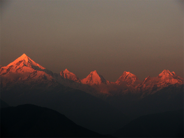
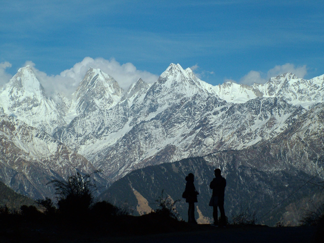
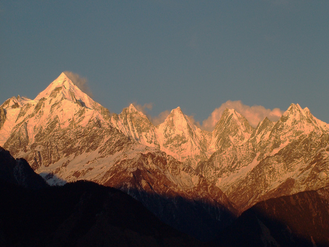
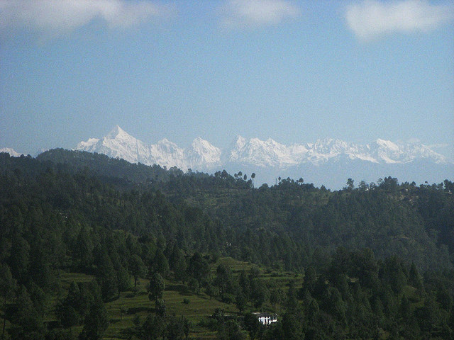
The Panchchuli peaks are a group of five snow-capped Himalayan peaks lying at the end of the eastern Kumaon region, near Munsiyari, in Pithoragarh district, Uttarakhand state, India. The peaks have altitudes ranging from 6,334 metres (20,781 ft) to 6,904 metres (22,651 ft). They form the watershed between the Gori and the Darmaganga valleys. Panchchuli is also located on the Gori Ganga-Lassar Yankti divide. The group lies 138 km (86 mi) from Pithoragarh. The five peaks on the Panchchuli massif are numbered from northwest to southeast. The highest peak is Panchchuli II, which was first scaled by an Indo-Tibetan Border Police expedition, led by Mahendra Singh, on 26 May 1973.
Five Peaks of Panchchuli
Panchchuli-1 (6,355 m)
Panchchuli-2 (6,904 m)
Panchchuli-3 (6,312 m)
Panchchuli-4 (6,334 m)
Panchchuli-5 (6,437 m)
Image From Flickr: Solarshakti , Rick Bradley
Featured Adventure
Quick Answers about Panchchuli
What is the elevation of Panchchuli?
Panchchuli is at an elevation of 6,904 m / 22,651 ft.
Where is Panchchuli located?
Panchchuli is located at latitude 30.214167, longitude 80.427500.