




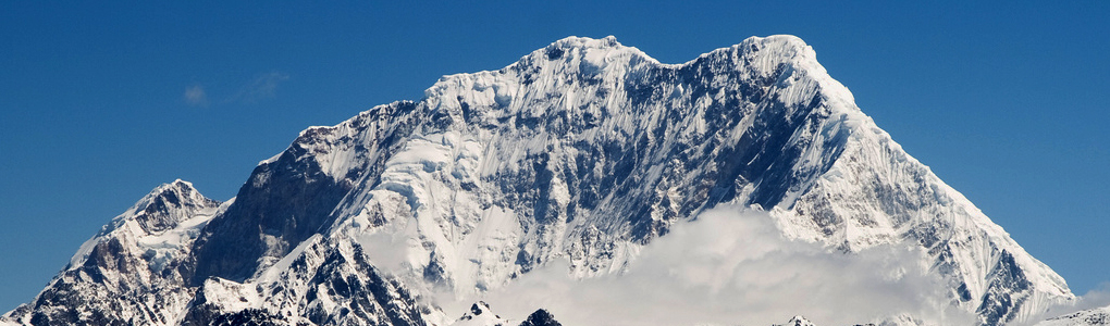
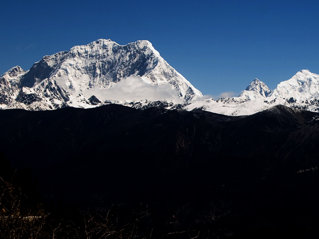
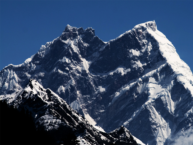
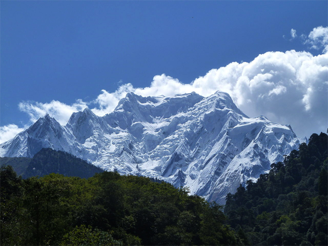
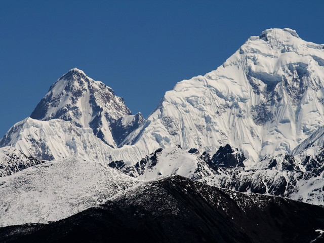
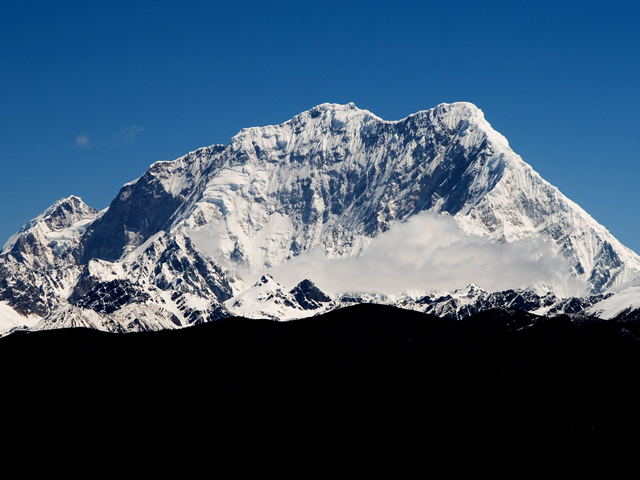
Gyala Peri (7,294 m) lies just beyond the eastern end of the Himalaya, at the entrance to the Tsangpo gorge. It is part of the Nyenchen Tanglha Shan, though it is sometimes counted in the Namcha Barwa Himal. It stands immediately north of the Great Bend of the Yarlung Tsangpo, the main river of south-eastern Tibet, which becomes the Brahmaputra in India, and it is 22 km north-north-west of the taller Namcha Barwa.
This is one of the least-visited corners of the Himalaya. The Tsangpo gorge is the deepest canyon in the world by some measures, and it is cloaked in dense forest and mist for much of the year, which means that Gyala Peri is often hidden. When the cloud lifts, the contrast between the green gorge and the ice summit is striking. Tibetans consider the area sacred, and it is linked to the hidden land of Pemako, a legendary refuge in Buddhist tradition.
Access is strictly controlled: foreign travellers need special permits for this part of Tibet, and travel is possible only with an authorised agency. The region receives heavy monsoon rain, so the best chance of clear views is in the autumn and winter months. Anyone going should be ready for long journeys and basic conditions, and should respect the religious significance of the area.
Image From Flickr: John Town : - Image 1 , Image 2 , Image 3 , Image 4 , Image 5, Mogstar
Quick Answers about Gyala Peri
What is the elevation of Gyala Peri?
Gyala Peri is at an elevation of 7,294 m / 23,930 ft.
Where is Gyala Peri located?
Gyala Peri is located at latitude 29.814167, longitude 94.968333.

