




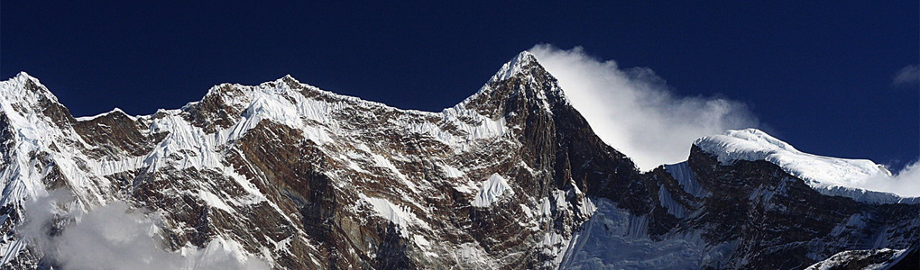
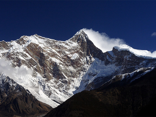
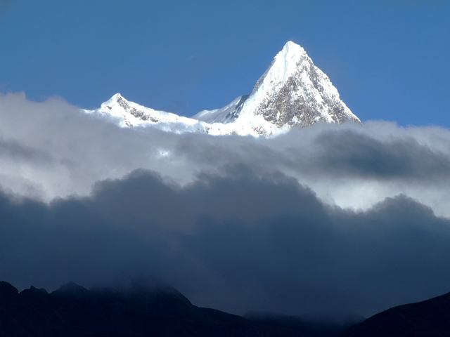
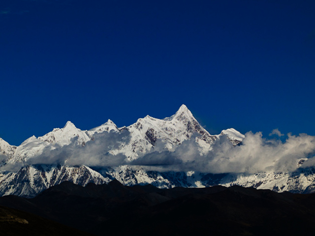
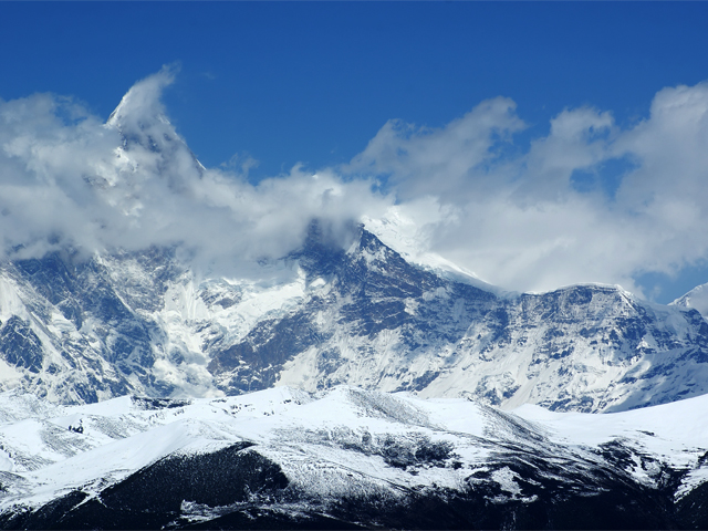
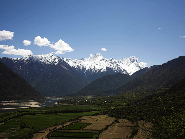
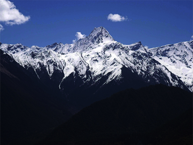
Namcha Barwa (7,782 m) is a Tibetan Himalayan giant, if the Himalaya is taken to run from the Indus to the Brahmaputra, it marks the eastern end of the whole chain. It is also the highest peak of its own section, and the easternmost mountain over 7,600 m. It stands in a seldom-visited part of south-eastern Tibet, inside the Great Bend where the Yarlung Tsangpo turns into its famous gorge through the Himalaya.
The mountain was long hidden by the difficulty of the terrain and by Chinese restrictions on access, and it was only climbed for the first time in 1992, by a Sino-Japanese expedition. Its massif is one of the steepest on Earth, rising from the river at around 3,000 m to the summit, a vertical relief of nearly 5,000 m in a short distance. The cloud and rain of the monsoon often shroud it for months at a time.
Today it is a goal for expedition climbers who have the permits and the resources, but it is also a cultural landmark, because the people of Pemako regard it as a sacred mountain and the entrance to a hidden valley. The surrounding area is a national nature reserve, and the Nyingchi region nearby offers a gentler way to see its forests and rivers. Visitors should plan for permits, a long approach and unpredictable weather.
Image From Flickr : Cherry933 , Andre James, Momo
Featured Adventure

Quick Answers about Namcha Barwa
What is the elevation of Namcha Barwa?
Namcha Barwa is at an elevation of 7,782 m / 25,531 ft.
Where is Namcha Barwa located?
Namcha Barwa is located at latitude 29.629167, longitude 95.055833.

