




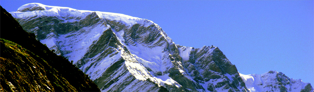
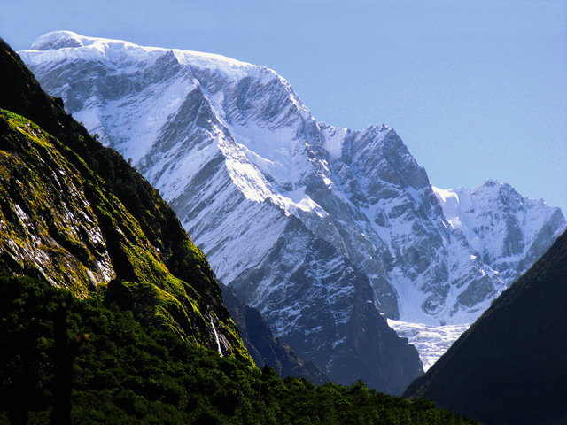
Haathi Parvat, also called Elephant Peak, is a mountain in the Garhwal Himalaya of Uttarakhand, India, in the Chamoli district, with a summit of 6,727 m (22,070 ft). Two huge rocks on a spur of the mountain are said to be a crow (Kaaka) and an eagle (Garuda); locals believe the crow is chatting with Garuda about the affairs of the universe. Another tale says a learned Brahmin of Ayodhya once angered the sage Lomas, who lived here, and was turned into a crow.
Haathi Parvat can be reached from Vishnuprayag or from Ghangaria, near the Valley of Flowers. The approach from Ghangaria is a little easier but longer. From Govind Ghat an 18 km bridle path runs through the Bhiundar valley and Bhiundhar village to Ghangaria. Kagbhusandi Tal and Guari Parvat lie nearby, as do the places Bhiundhar, Jelam, Shyama and Juma, and the Dhauliganga River flows past.
The mountain is part of a region rich in both pilgrimage and natural heritage: Hemkund Sahib, the Sikh shrine, lies a short walk from Ghangaria, and the Valley of Flowers National Park is a UNESCO World Heritage Site. Most visitors come in July and August, when the flowers bloom and the monsoon is active, or in September, when the rains ease. Permits are required for the national park, and the route can be affected by landslides.
Featured Adventure
Quick Answers about Haathi Parvat
What is the elevation of Haathi Parvat?
Haathi Parvat is at an elevation of 6,727 m / 22,070 ft.
Where is Haathi Parvat located?
Haathi Parvat is located at latitude 30.685000, longitude 79.705833.
What is Haathi Parvat also known as?
Haathi Parvat is also known as Elephant Peak.

