




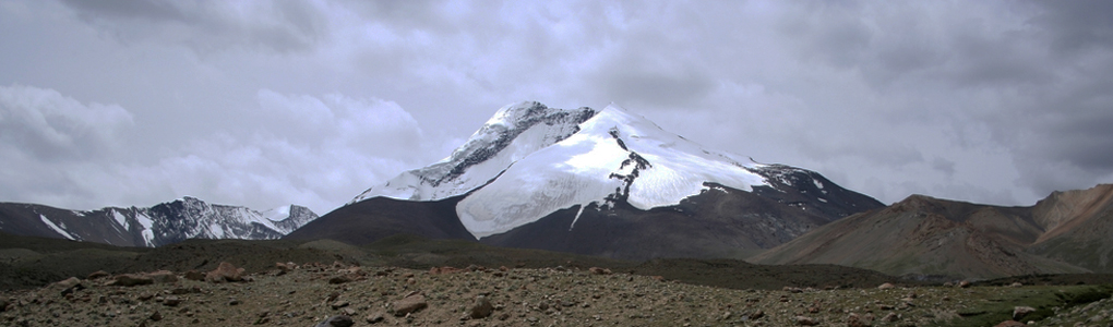
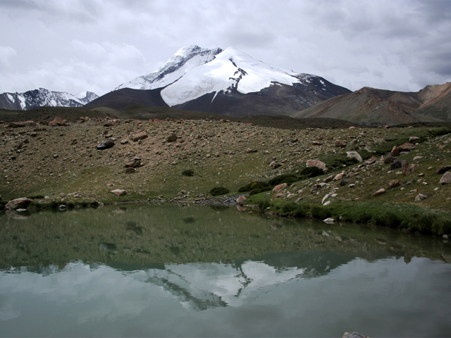
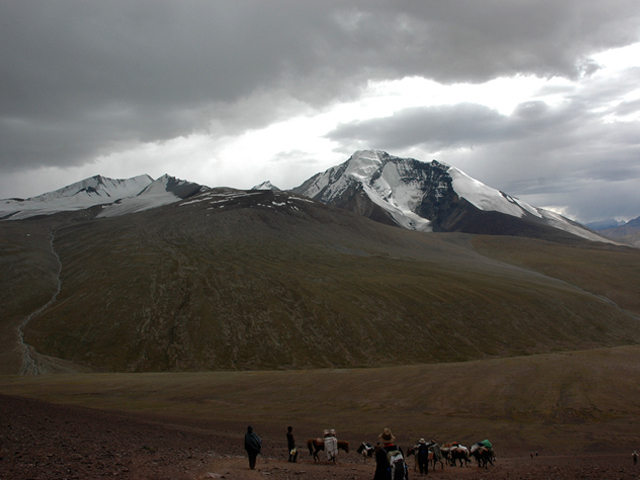
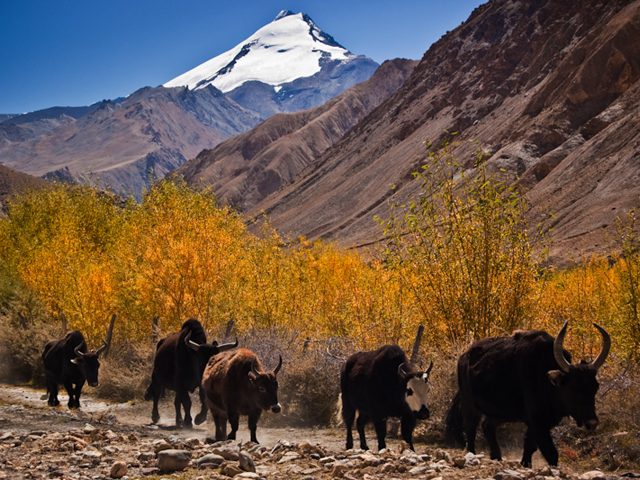
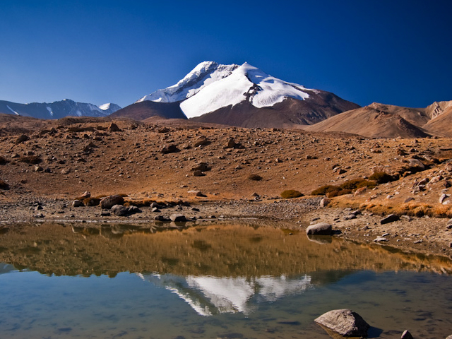
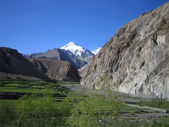
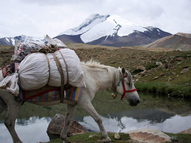
Kang Yatze (about 6,400 m, or 21,000 ft) closes the head of the Markha valley in Ladakh, in the far north-west of India. From the Markha trail, it is the great snow peak that appears at the end of the valley, and many trekkers on the Markha Valley route simply admire it as a backdrop to the campsite at Nimaling, the high pasture where nomads graze their flocks in summer.
The mountain has two main summits. The western peak, Kang Yatze II, is lower (about 6,200 m), is rated Alpine PD and is the one most climbers choose. The eastern peak, Kang Yatze I, is the true summit, but it is reached over a technical knife-edge ridge and sees far fewer ascents. The alternative is the north-east ridge and then a steep snow face, graded Alpine AD+/D-. Climbers usually base themselves at Nimaling, at about 4,800 m, which is a good place to acclimatise.
The standard climb is possible for a fit trekker with basic mountaineering skills and a guide, though summit days are long and start in the early hours of the morning. The best season is July to September, when the Markha valley is free of snow. Permits are required through an agency, and the Indian Mountaineering Foundation may need to give clearance for the peak.
Image From Flickr : M+M Photographers , SlartibErtfass der bertige , Zibaloo_1 , M+M Photographers
Featured Adventure

Quick Answers about Kang Yatze
What is the elevation of Kang Yatze?
Kang Yatze is at an elevation of 6,400 m / 21,000 ft.
Where is Kang Yatze located?
Kang Yatze is located at latitude 33.748215, longitude 77.556825.

