




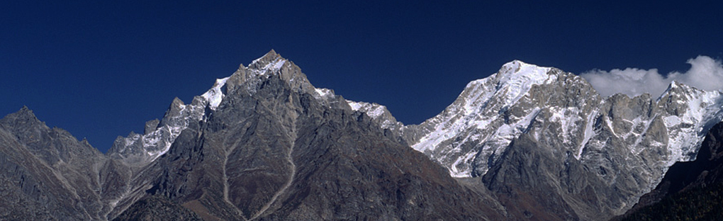
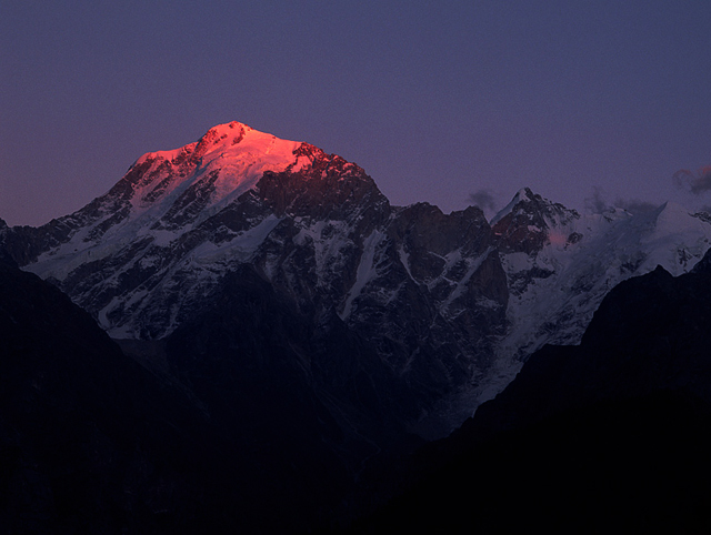
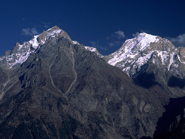
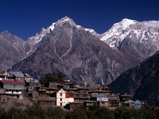
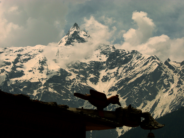
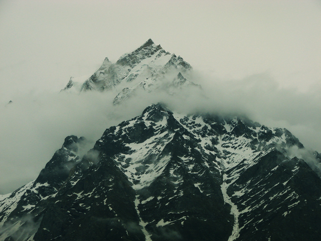
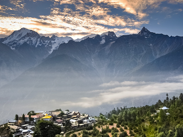
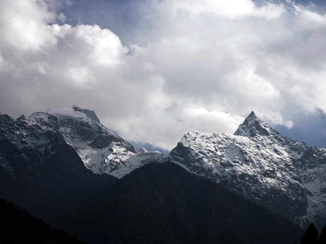
Kinnaur Kailash is a mountain in the Kinnaur district of Himachal Pradesh, India, about 6,050 m high by the usual figure. Both Hindu and Buddhist Kinnauris hold it sacred, and it is sometimes confused with Mount Kailash in Tibet. At the summit of the Kinnaur Kailash range, a natural rock formation, about 79 feet tall, changes colour through the day and is believed to be a Shiva Linga, which is visible from the town of Kalpa and Reckong Peo.
The Kinnaur Kailash range forms the southern boundary of the district and is dominated by Kinnaur Kailash itself and Jorkanden (6,473 m). The pilgrimage, called the Kinner Kailash Parikrama, is a seven-day trek from Kalpa that climbs gradually over the Charang Ghati, at 5,242 m, and descends easily. The route follows the Baspa river in the Sangla Valley and is considered one of the toughest treks in Himachal Pradesh, because of its altitude and unpredictable weather.
Pilgrims make the trip each year in August, when the weather is more settled, and it is a major event in the local religious calendar. Trekkers should check permit requirements for Kinnaur, as inner line permits may be needed in some areas, and should hire local guides who know the route. Altitude sickness is a concern, so acclimatise at Kalpa or Sangla before going higher.
Image From Flickr : Motohiro Sunouchi , Nivedita Ravishankar , Motographer Motohiro Sunouchi , India Untravelled , Mani Babbar Nivedita Ravishankar, Motohiro Sunouchi
Featured Adventure

Quick Answers about Kinnaur Kailash
What is the elevation of Kinnaur Kailash?
Kinnaur Kailash is at an elevation of 6,500 m / 21,300 ft.
Where is Kinnaur Kailash located?
Kinnaur Kailash is located at latitude 31.452094, longitude 78.40127.

