




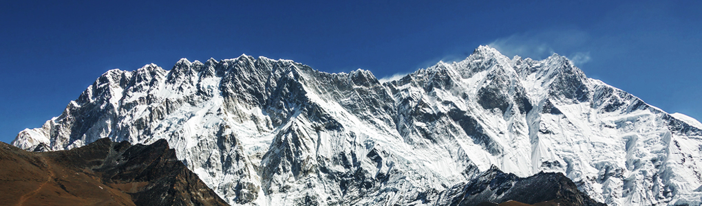
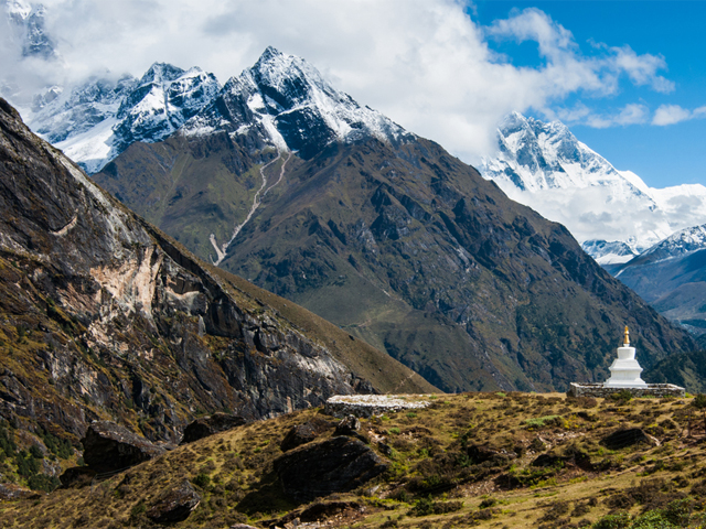
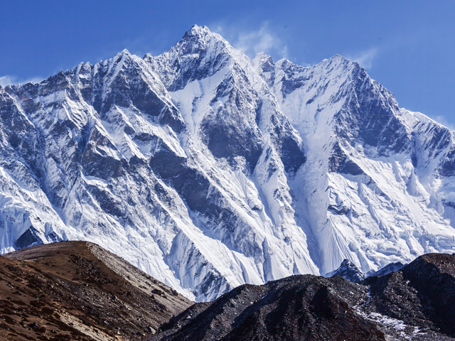
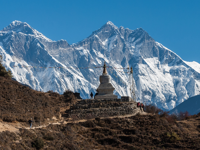
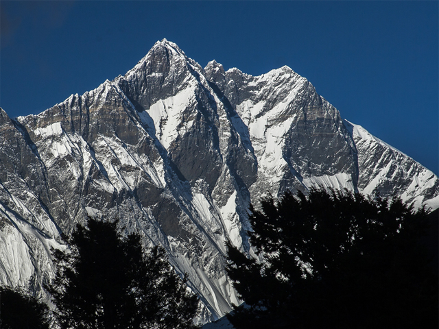
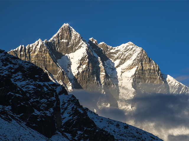
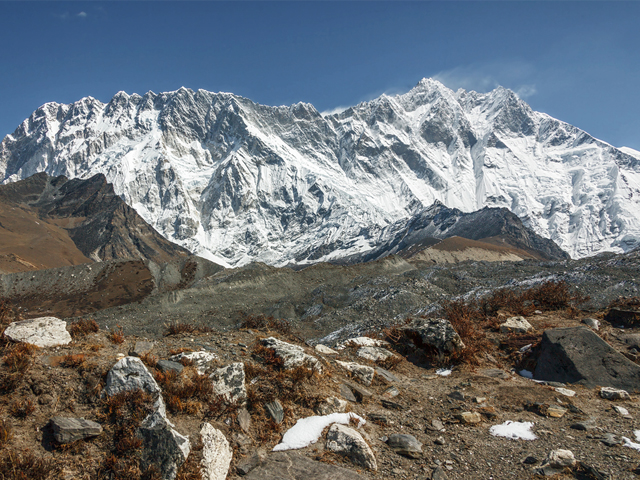
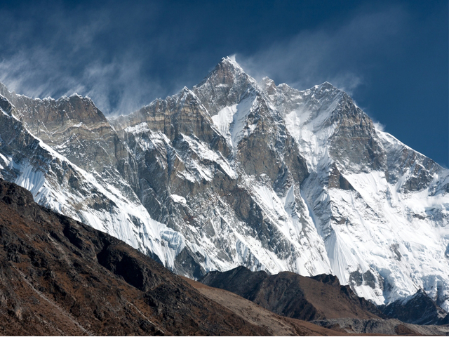
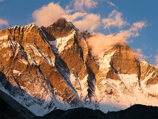
Lhotse is the fourth highest mountain in the world, at 8,516 m (27,940 ft), after Everest, K2 and Kangchenjunga. It is joined to Everest by the South Col, and its name means "South Peak" in Tibetan. Besides the main summit, it has Lhotse Middle (East) at 8,414 m and Lhotse Shar at 8,383 m. It stands on the border between Tibet (China) and Nepal's Khumbu region.
The standard climbing route follows the Everest South Col route up to the Yellow Band beyond Camp 3. There the routes part: Everest climbers go left over the Geneva Spur to the South Col, while Lhotse climbers go right, further up the Lhotse face and through a narrow gully called the Lhotse Couloir. The first ascent was made in 1956 by the Swiss climbers Ernst Reiss and Fritz Luchsinger. The south face, a 3,000 m wall of rock and ice, is one of the great unsolved challenges of the Himalaya, and has defeated many strong teams.
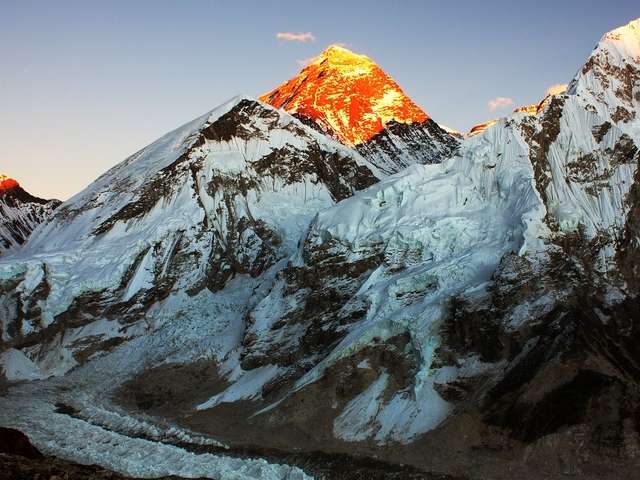
Trekkers get a close look at Lhotse from Chukhung Ri and from Kala Patthar. The Island Peak climb, on the Imja valley, gives a view of its south face. The best seasons are spring and autumn. Climbers attempting Lhotse usually share the lower part of their expedition with Everest teams, so the mountain sees a lot of activity at base camp in April and May.
Featured Adventure
Quick Answers about Lhotse
What is the elevation of Lhotse?
Lhotse is at an elevation of 8,516 m / 27,940.
Where is Lhotse located?
Lhotse is located at latitude 27.961667, longitude 86.933333.

